Home
States
Colorado
Connecticut
Maine
Massachusetts
New Hampshire
New York
Rhode Island
Utah
Vermont
View All
Lists
NE 4,000 Footers
NE 100 Highest
NH 4,000 Footers
NH 100 Highest
NH 52 With A View
NH Belknap Range
NH Ossipee 10
Links
Trail Conditions
Trip Log
Sunrises
Sunsets
About
|
Mt. Pierce
Carroll, NH, Crawford's Purchase, NH, Bean's Grant, NH
Trailheads, measurements, times, distances, and maps are all approximate and relative to the hike(s) as shown below.
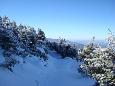
Looking down the Crawford Path
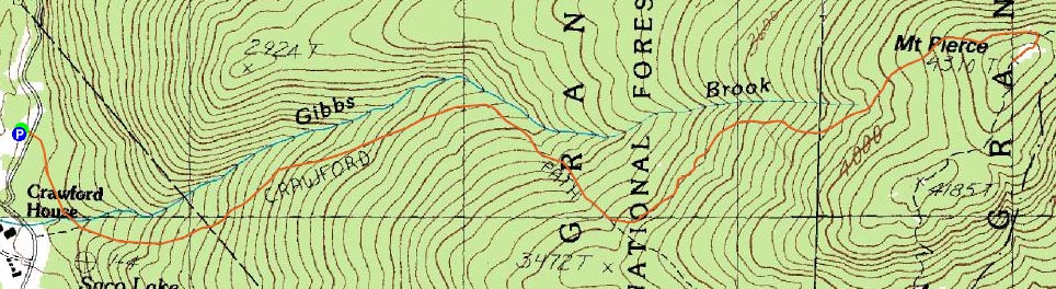
Route: Crawford Connector, Crawford Path, Webster Cliff Trail
Today's hike was one that I had actually intended to do the on Christmas Day (but backed out on when I saw the satellite imagery).
When I pulled into a relatively empty Crawford Path parking area, I saw a thick band of clouds to the west - crikey! I suited up quickly and was on my way.
The trail was pretty well packed - frozen and loose granular from the recent rain. Fortunately, there were only two minors blowdowns.
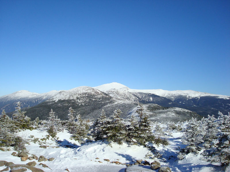
As I cleared the treeline, I was happy to see that the clouds had remained to the west - and that the view of Mt. Washington was as clear as a bell (whatever that cliche means)! After meeting a hiking photo legend, I continued up the Webster Cliff Trail to the Pierce summit for a brief lunch. With the snowpack, I was able to see above the trees from one point toward Mt. Chocorua.
After loitering around the summit and the open area below it, I headed back - and made it back to the parking lot before any significant clouds had moved in. I just ended a sentence with a preposition. I'd make a bad Canadian.
| Hike Ratings |
|
Getting To Trailhead: |
Easy |
| Destination: |
Mt. Pierce |
|
Length: |
Moderate |
|
Steepness: |
Moderate |
|
Navigation: |
Easy |
|
Views: |
Excellent |
|
Crowds: |
Minimal |
|
| Hike Stats |
|
Date Hiked: |
Wednesday, December 26, 2007 |
| Hike Commenced: |
10:16 AM |
| Parking Elevation: |
1,920' |
| Destination: |
Mt. Pierce |
| Ascent Commenced: |
10:17 AM |
| Summit Reached: |
12:03 PM |
| Time Elapsed: |
01:46 |
| Trailhead Elevation: |
1,920' |
| Summit Elevation: |
4,310' |
| Distance: |
3.2 miles |
| Vertical Gain: |
2,430' |
|
|
| Hike Ended: |
2:04 PM |
| Hike Time Elapsed: |
03:48 |
| Hike Distance: |
6.4 miles |
| Hike Vertical Gain: |
2,470' |
|
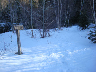
Crawford Connector trailhead

Looking northeast at Mt. Eisenhower and Mt. Washington from near the Mt. Pierce summit
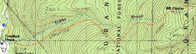

Directions to trailhead: Take Route 302 West from Bartlett into Carroll. Just after Saco Lake, take a right onto Mt. Clinton Road. Shortly thereafter, take a left into the WMNF fee parking area driveway and Crawford Connector trailhead.
Back to Mt. Pierce Profile
|