Home
States
Colorado
Connecticut
Maine
Massachusetts
New Hampshire
New York
Rhode Island
Utah
Vermont
View All
Lists
NE 4,000 Footers
NE 100 Highest
NH 4,000 Footers
NH 100 Highest
NH 52 With A View
NH Belknap Range
NH Ossipee 10
Links
Trail Conditions
Trip Log
Sunrises
Sunsets
About
|
Ore Hill
Warren, NH
Trailheads, measurements, times, distances, and maps are all approximate and relative to the hike(s) as shown below.

The Ore Hill Trail
Route: Ore Hill Trail
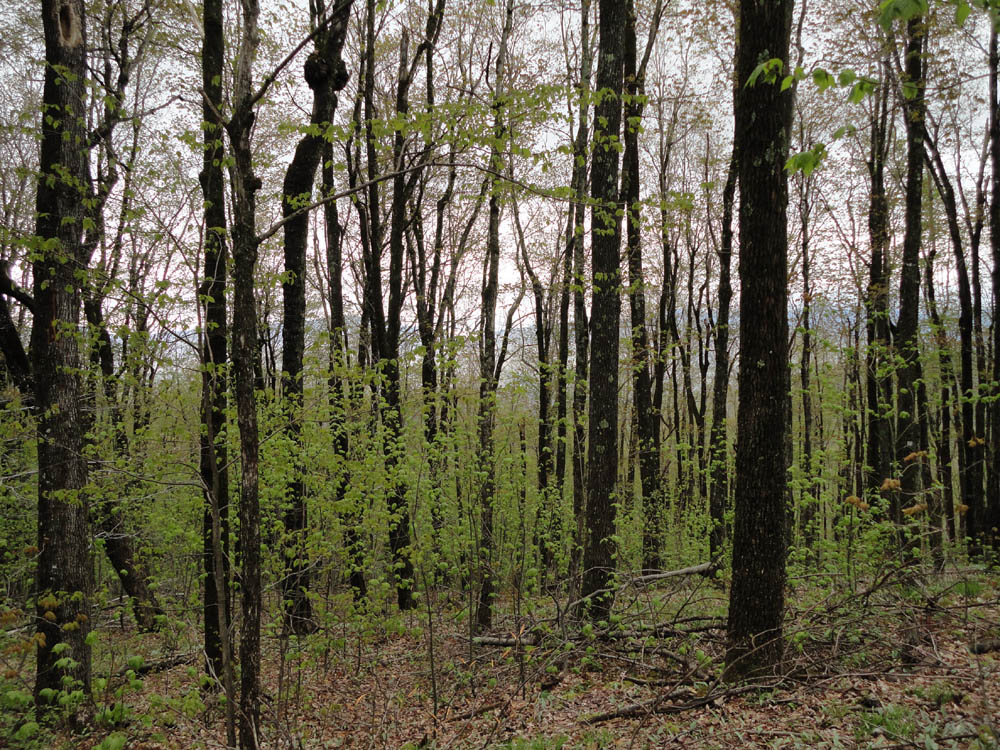
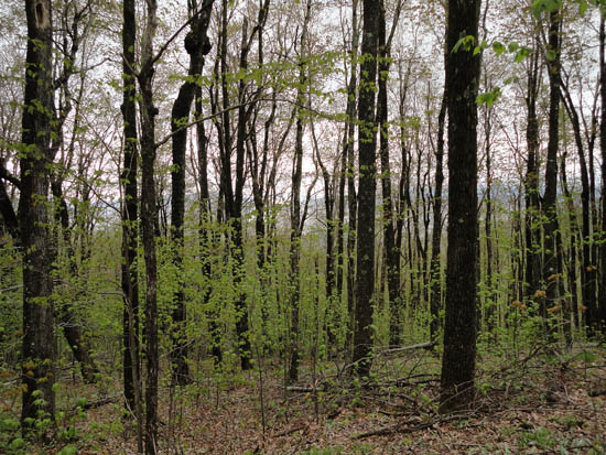
Another misty day. Gradual, smooth trail. An area immediately adjacent to the height of land on the trail appeared to be the highest point, though I did bushwhack around near the boundary a bit southwest of it (which seemed lower). No views, except through the trees.
| Hike Ratings |
|
Getting To Trailhead: |
Easy |
| Destination: |
Ore Hill |
|
Length: |
Easy |
|
Steepness: |
Easy |
|
Navigation: |
Easy |
|
Views: |
Minimal |
|
Crowds: |
Minimal |
|
| Hike Stats |
|
Date Hiked: |
Thursday, May 10, 2012 |
| Parking Elevation: |
1,530' |
| Destination: |
Ore Hill |
| Time Elapsed: |
00:11 |
| Trailhead Elevation: |
1,530' |
| Summit Elevation: |
1,860' |
| Distance: |
0.6 mile |
| Vertical Gain: |
330' |
|
|
| Hike Time Elapsed: |
00:35 |
| Hike Vertical Gain: |
400' |
|
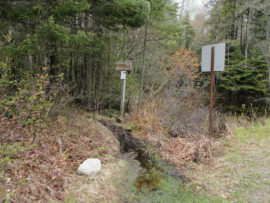
The Ore Hill Trail trailhead
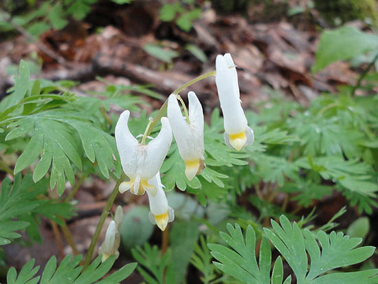
Dutchman's Breeches
Not much to see from the top of Ore Hill
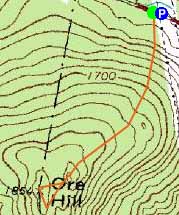

Directions to trailhead: From Route 25 in Warren, take Route 25C West. The Appalachian Trail crossing will be under high tension lines. The Ore Hill Trail is just west of the power lines. There is room to park under the lines.
Back to Ore Hill Profile
|