Home
States
Colorado
Connecticut
Maine
Massachusetts
New Hampshire
New York
Rhode Island
Utah
Vermont
View All
Lists
NE 4,000 Footers
NE 100 Highest
NH 4,000 Footers
NH 100 Highest
NH 52 With A View
NH Belknap Range
NH Ossipee 10
Links
Trail Conditions
Trip Log
Sunrises
Sunsets
About
|
Pine Mountain
Gorham, NH
Trailheads, measurements, times, distances, and maps are all approximate and relative to the hike(s) as shown below.
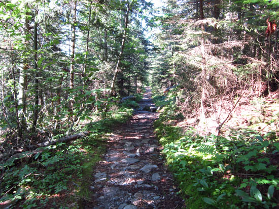
The trail near the summit
Route: Pine Mountain Trail
Pipeline swath a little confusing - head west to a snowmobile junction. Trail hops back into the woods on the left at that point, on a snowmobile corridor. Very nice views from Pulpit Rock.
| Hike Ratings |
|
Getting To Trailhead: |
Easy |
| Destination: |
Pine Mountain |
|
Length: |
Moderate |
|
Steepness: |
Difficult |
|
Navigation: |
Moderate |
|
Views: |
Excellent |
|
Crowds: |
Minimal |
|
| Hike Stats |
|
Date Hiked: |
Thursday, June 14, 2012 |
| Parking Elevation: |
800' |
| Destination: |
Pine Mountain |
| Time Elapsed: |
00:51 |
| Trailhead Elevation: |
800' |
| Summit Elevation: |
2,405' |
| Distance: |
2.7 miles |
| Vertical Gain: |
1,625' |
|
|
| Hike Time Elapsed: |
01:54 |
| Hike Vertical Gain: |
1,750' |
|
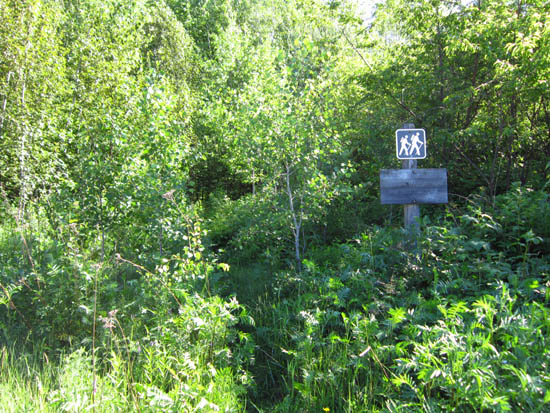
The beginning of Pine Mountain Road off Dolly Copp Road
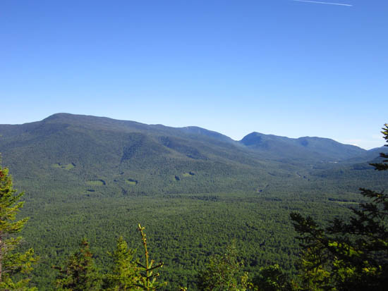
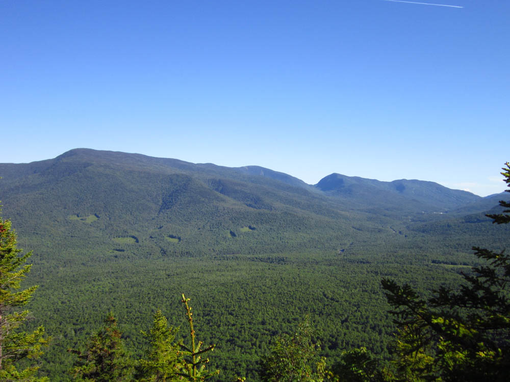
Looking at the Carters and Wildcats from near the summit of Pine Mountain
Directions to trailhead: Take Route 16 south from Gorham. Take a right onto Promenade Street. The street will eventually turn to dirt. The Pine Mountain Trail trailhead will be located on the left in an old gravel pit.
Back to Pine Mountain Profile
|