Home
States
Colorado
Connecticut
Maine
Massachusetts
New Hampshire
New York
Rhode Island
Utah
Vermont
View All
Lists
NE 4,000 Footers
NE 100 Highest
NH 4,000 Footers
NH 100 Highest
NH 52 With A View
NH Belknap Range
NH Ossipee 10
Links
Trail Conditions
Trip Log
Sunrises
Sunsets
About
|
The Pinnacle, Lyndeborough Mountain, Rose Mountain
Jaffrey, NH, Troy, NH
Trailheads, measurements, times, distances, and maps are all approximate and relative to the hike(s) as shown below.
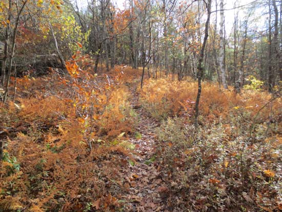
Helen's Trail on the way to The Pinnacle
Route: Helen's Trail, snowmobile trail, (The Pinnacle), snowmobile trails, (Lyndeborough Mountain), snowmobile trails, (Rose Mountain), snowmobile trails, Helen's Trail
Trails were mostly dry and in good shape. Gradual grades and good footing made for great trail jogging.
Multiple nice view angles from The Pinnacle. Took the side road up to Lyndeborough Mountain, which, though ledgy, doesn't have much in way of views due to its topography.
Lots of nice directional views from ledgy Rose Mountain as well, including a good look at the Boston skyline.
The snowmobile trails that connect the peaks are more like old woods roads/old farm roads, rather than the grassy/mucky trails I was expecting. Lots of meandering, though, so I could see where bushwhacking might be preferred (open woods).
Nice trio of peaks...certainly worth it if you live in the area.
| Hike Ratings |
|
Getting To Trailhead: |
Easy |
| Destination: |
The Pinnacle |
|
Length: |
Easy |
|
Steepness: |
Easy |
|
Navigation: |
Easy |
|
Views: |
Excellent |
|
Crowds: |
Moderate |
| Destination: |
Lyndeborough Mountain |
|
Length: |
Moderate |
|
Steepness: |
Easy |
|
Navigation: |
Moderate |
|
Views: |
Moderate |
|
Crowds: |
Minimal |
| Destination: |
Rose Mountain |
|
Length: |
Moderate |
|
Steepness: |
Easy |
|
Navigation: |
Moderate |
|
Views: |
Excellent |
|
Crowds: |
Minimal |
|
| Hike Stats |
|
Date Hiked: |
Sunday, October 20, 2013 |
| Parking Elevation: |
1,250' |
| Destination: |
The Pinnacle |
| Time Elapsed: |
00:13 |
| Trailhead Elevation: |
1,250' |
| Summit Elevation: |
1,703' |
| Vertical Gain: |
493' |
| Destination: |
Lyndeborough Mountain |
| Time Elapsed: |
00:09 |
| Trailhead Elevation: |
1,703' |
| Summit Elevation: |
1,650' |
| Vertical Gain: |
90' |
| Destination: |
Rose Mountain |
| Time Elapsed: |
00:18 |
| Trailhead Elevation: |
1,650' |
| Summit Elevation: |
1,730' |
| Vertical Gain: |
200' |
|
|
| Hike Time Elapsed: |
01:28 |
| Hike Vertical Gain: |
933' |
|
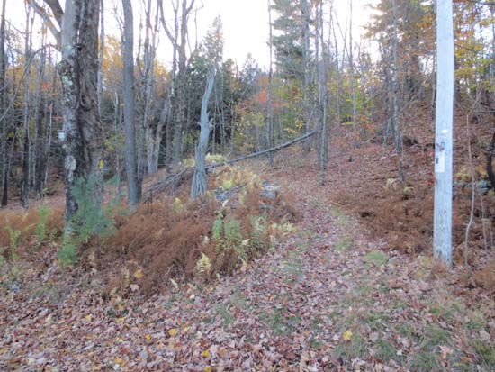
The Helen's Trail trailhead on Mountain Road

Looking at Crotched Mountain from The Pinnacle
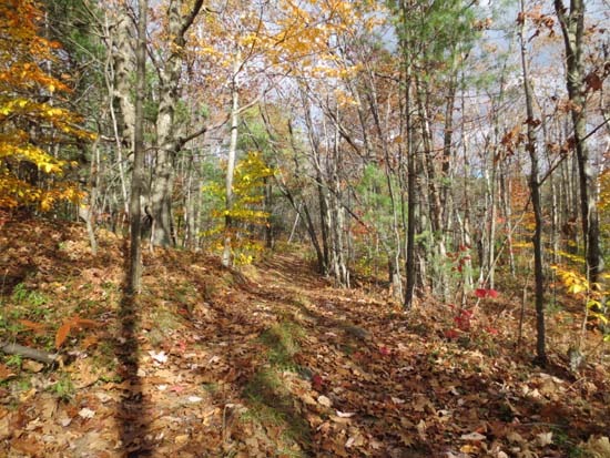
The snowmobile trail between Pinnacle and Lyndeborough

Looking south from Lyndeborough Mountain
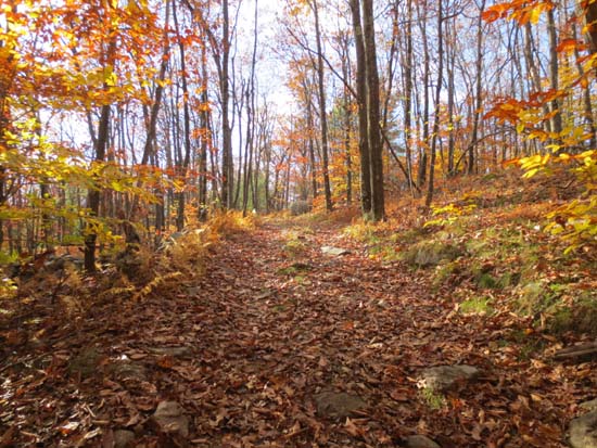
The snowmobile trail to Rose Mountain

Looking at the Uncanoonucs from Rose Mountain


Directions to trailhead: From Center Road in Lyndeborough, take Mountain Road north. Shortly after passing over the height of land, the Helen's Trail trailhead will be on the right. There is limited room to park roadside.
Back to Gap Mountain (North Peak) Profile
Back to Gap Mountain (South Peak) Profile
|


