Home
States
Colorado
Connecticut
Maine
Massachusetts
New Hampshire
New York
Rhode Island
Utah
Vermont
View All
Lists
NE 4,000 Footers
NE 100 Highest
NH 4,000 Footers
NH 100 Highest
NH 52 With A View
NH Belknap Range
NH Ossipee 10
Links
Trail Conditions
Trip Log
Sunrises
Sunsets
About
|
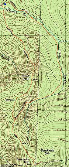
Sandwich Mountain
Waterville Valley, NH
Trailheads, measurements, times, distances, and maps are all approximate and relative to the hike(s) as shown below.
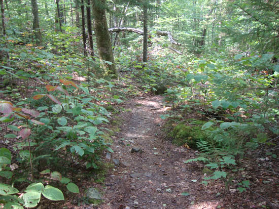
Looking down the Sandwich Mountain Trail
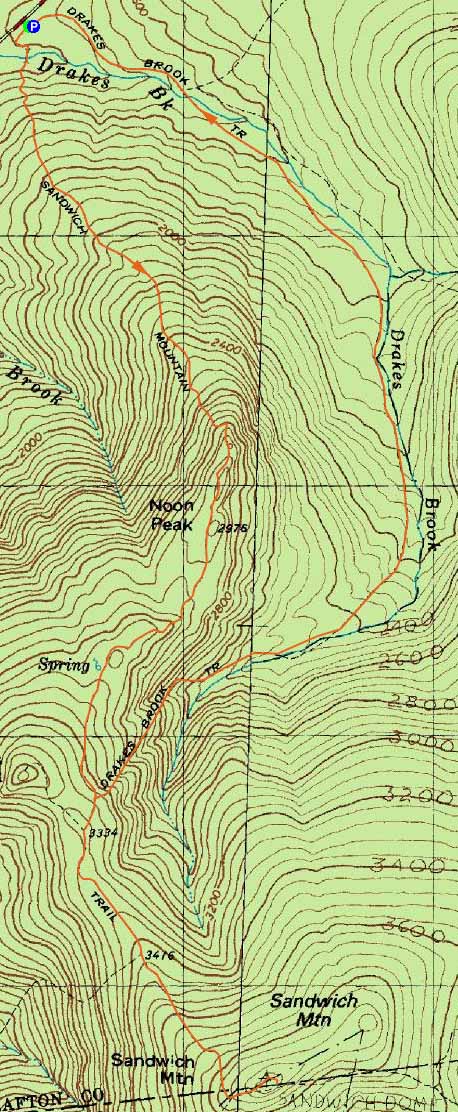
Route: Sandwich Mountain Trail, (Sandwich Mountain), Sandwich Mountain Trail, Drakes Brook Trail
Second hike of the day. Hazy views from the summit. Drakes Brook Trail suffered some damage from Irene, but it was passable.
| Hike Ratings |
|
Getting To Trailhead: |
Easy |
| Destination: |
Sandwich Mountain |
|
Length: |
Moderate |
|
Steepness: |
Difficult |
|
Navigation: |
Easy |
|
Views: |
Excellent |
|
Crowds: |
Moderate |
|
| Hike Stats |
|
Date Hiked: |
Saturday, September 3, 2011 |
| Parking Elevation: |
1,420' |
| Destination: |
Sandwich Mountain |
| Time Elapsed: |
02:28 |
| Trailhead Elevation: |
1,420' |
| Summit Elevation: |
3,980' |
| Vertical Gain: |
2,730' |
|
|
| Hike Time Elapsed: |
05:55 |
| Hike Vertical Gain: |
2,850' |
|
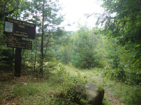
The Sandwich Mountain Trail trailhead near Route 49
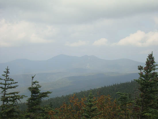
The Tripyramids as seen from Sandwich Dome

Directions to trailhead: Take Route 49 toward Waterville Valley. Take a right less than a mile before (south of) Tripoli Road. The small WMNF fee parking lot is straight ahead. The Sandwich Mountain Trail trailhead is located just before the parking lot on the right.
Back to Sandwich Mountain Profile
|