Home
States
Colorado
Connecticut
Maine
Massachusetts
New Hampshire
New York
Rhode Island
Utah
Vermont
View All
Lists
NE 4,000 Footers
NE 100 Highest
NH 4,000 Footers
NH 100 Highest
NH 52 With A View
NH Belknap Range
NH Ossipee 10
Links
Trail Conditions
Trip Log
Sunrises
Sunsets
About
|
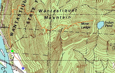
Wantastiquet Mountain
Mine Ledge
Chesterfield, NH and Hinsdale, NH
Trailheads, measurements, times, distances, and maps are all approximate and relative to the hike(s) as shown below.
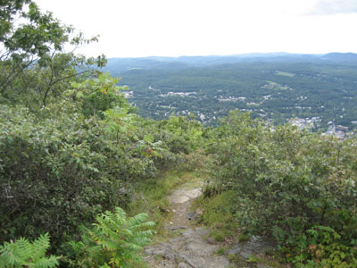
Trail to view near Wantastiquet Mountain summit
Wantastiquet Mountain is the located across the Connecticut River, just east of Brattleboro, Vermont. Though rocky, the road to the summit is a moderate climb at best. I, however, with my short attention span, and overuse of commas, took four shortcuts that bypass the traverses of the summit road, therefore making the hike faster and steeper.
Mine Ledge offers a decent westerly and southerly view, however I struggled to find it (in reality I found it right off the bat, but kept looking east for a better view - with no success - because the most recent topographic map on TerraServer shows 'Mine Ledge' well east of where the actual view is. Is this the proper location for the name? I do not know. But I didn't find any clear views there, and I searched almost as far as Indian Pond. I'm clearly not using punctuation or grammar correctly on this page, but who cares).
| Hike Ratings |
|
Getting To Trailhead: |
Easy |
| Destination: |
Wantastiquet Mountain |
|
Length: |
Moderate |
|
Steepness: |
Difficult |
|
Navigation: |
Moderate |
|
Views: |
Excellent |
|
Crowds: |
Moderate |
| Destination: |
Mine Ledge |
|
Length: |
Moderate |
|
Steepness: |
Difficult |
|
Navigation: |
Difficult |
|
Views: |
Excellent |
|
Crowds: |
Minimal |
|
| Hike Stats |
|
Date Hiked: |
Friday, September 1, 2006 |
| Parking Elevation: |
300' |
| Destination: |
Wantastiquet Mountain |
| Time Elapsed: |
00:32 |
| Trailhead Elevation: |
310' |
| Summit Elevation: |
1,351' |
| Vertical Gain: |
1,041' |
| Destination: |
Mine Ledge |
| Time Elapsed: |
00:22 |
| Trailhead Elevation: |
1,351' |
| Summit Elevation: |
1,320' |
| Vertical Gain: |
150' |
| Hike Time Elapsed: |
02:38 |
| Hike Vertical Gain: |
1,711' |
|
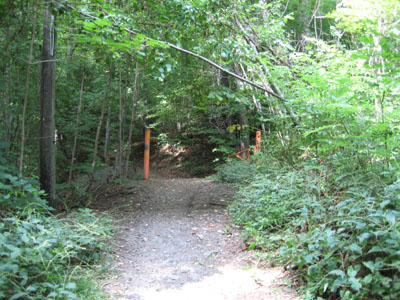
Trailhead for road/trail to Wantastique Mountain summit
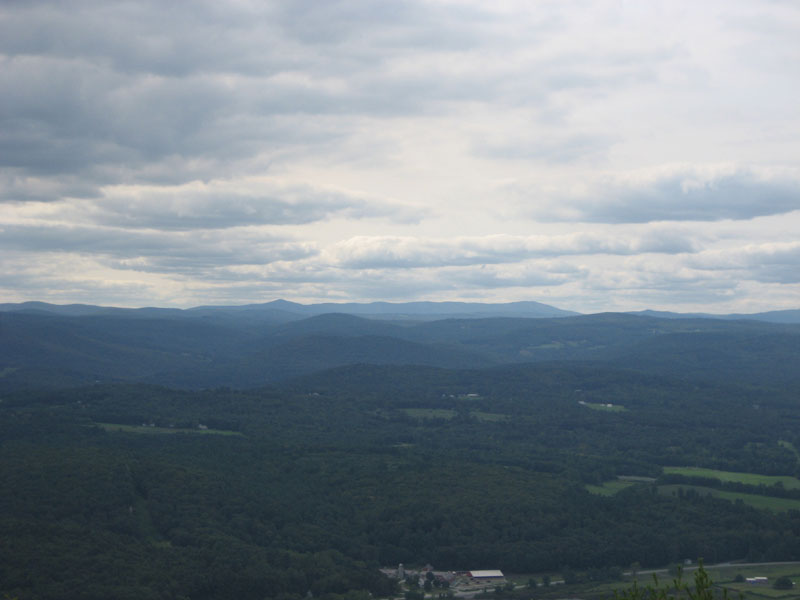
View near Wantastique Mountain summit, looking at Haystack and Mount Snow (center)
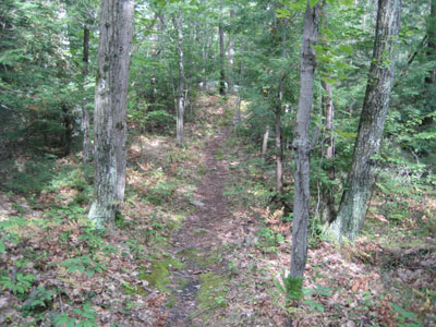
Trail near Mine Ledge
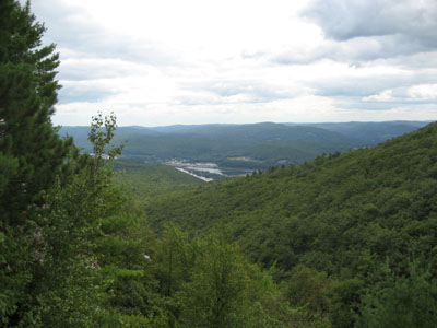
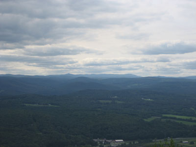
Looking south from Mine Ledge

Directions to trailhead: Take Route 119 to the Hinsdale Walmart parking lot. The trailhead parking is limited, so you're likely better off keeping your vehicle at Walmart.
Back to Wantastiquet Mountain profile
|