Home
States
Colorado
Connecticut
Maine
Massachusetts
New Hampshire
New York
Rhode Island
Utah
Vermont
View All
Lists
NE 4,000 Footers
NE 100 Highest
NH 4,000 Footers
NH 100 Highest
NH 52 With A View
NH Belknap Range
NH Ossipee 10
Links
Trail Conditions
Trip Log
Sunrises
Sunsets
About
|
West Rattlesnake
Holderness, NH
Trailheads, measurements, times, distances, and maps are all approximate and relative to the hike(s) as shown below.
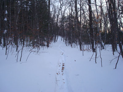
Looking up the Old Bridle Path
Route: Old Bridle Path
After two consecutive powder storms, I knew my after work possibilities would be limited due to the amount of time necessary to break trail. As such, I decided to head over to the oft-broken Old Bridle Path.
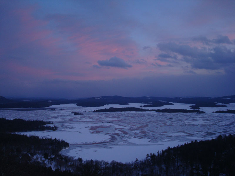
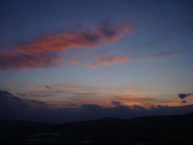
While the lower part of the trail was somewhat broken out by skiers and a barebooter, the top was unbroken. While depths were generally about 2-3', there were some rather large snowdrifts I had to break through near the summit. As such, I arrived just after the sunset. Nonetheless, I was able to get some decent colors - perhaps the most impressive ones were to my back, through the trees on the east side of West Rattlesnake.
Thanks to the snow covered hardwood forest, I was able to descend to the parking lot without needing a headlamp. Not bad at all!
| Hike Ratings |
|
Getting To Trailhead: |
Easy |
| Destination: |
West Rattlesnake |
|
Length: |
Easy |
|
Steepness: |
Easy |
|
Navigation: |
Easy |
|
Views: |
Excellent |
|
Crowds: |
Minimal |
|
| Hike Stats |
|
Date Hiked: |
Monday, December 22, 2008 |
| Hike Commenced: |
3:54 PM |
| Parking Elevation: |
815' |
| Destination: |
West Rattlesnake |
| Ascent Commenced: |
3:54 PM |
| Summit Reached: |
4:19 PM |
| Time Elapsed: |
00:25 |
| Trailhead Elevation: |
815' |
| Summit Elevation: |
1,240' |
| Distance: |
.9 miles |
| Vertical Gain: |
440' |
|
|
| Hike Ended: |
4:48 PM |
| Hike Time Elapsed: |
00:54 |
| Hike Distance: |
1.8 miles |
| Hike Vertical Gain: |
455' |
|
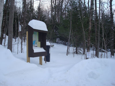
The Old Bridle Path trailhead at the back of the new parking area

Sunset colors tinting the ice of Squam Lake as seen from West Rattlesnake
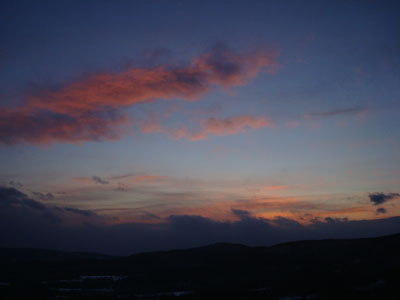
Sunset colors as seen from West Rattlesnake
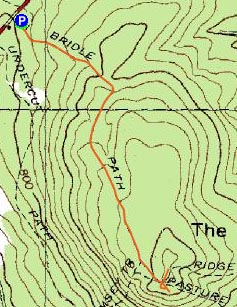

Directions to trailhead: Take Route 113 West from Center Sandwich. The new (2008) West Rattlesnake parking lot is on the left at a height of land, across from the Mt. Morgan parking area. The Old Bridle Path trailhead is located at the back of the new parking lot.
Back to West Rattlesnake Profile
|