Home
States
Colorado
Connecticut
Maine
Massachusetts
New Hampshire
New York
Rhode Island
Utah
Vermont
View All
Lists
NE 4,000 Footers
NE 100 Highest
NH 4,000 Footers
NH 100 Highest
NH 52 With A View
NH Belknap Range
NH Ossipee 10
Links
Trail Conditions
Trip Log
Sunrises
Sunsets
About
|
Whaleback Mountain, Whaleback Mountain (South Peak)
Lincoln, NH
Trailheads, measurements, times, distances, and maps are all approximate and relative to the hike(s) as shown below.
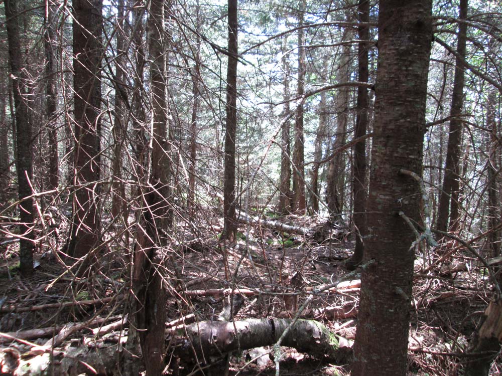
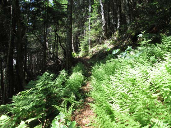
The abandoned lower Osseo Trail
Route: Old Osseo Trail, (Whaleback Mountain), Old Osseo Trail, bushwhack, (South Whaleback Mountain), bushwhack, Old Osseo Trail
Fun to finally do the lower portion of this trail after having it on my to do list for years. The lower portion of the trail on the way to Whaleback features some extended areas of good footing, while the steeps are indeed quite steep (not technical/scrambly, but relentless). Also noted a well used red blazed trail crossing the main trail around 1,400 feet in elevation...no idea where it goes.
Directional viewpoints on either side of the unmarked highpoint of Whaleback...the one looking at Moosilauke/Kinsmans/Liberty was quite nice. Also some views from the trail below the summit, as well as just off the trail via a short bushwhack to one of the slides.
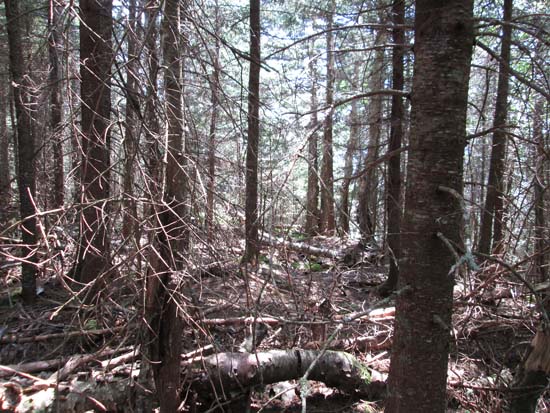
I didn't feel like going to Flume after having been there not too long ago, so I didn't go beyond Whaleback. The Old Osseo Trail continues north, but appeared to be a little bit less used. Reports are that it can be followed all the way to the present day Osseo Trail.
For South Whaleback, I hopped into the woods just above the hairpin turn on the big switchback, passing over the false summit (displayed on some hiking maps) and eventually over to the southern bump that apparently is the highpoint (southern end of the southern bump).
Woods were scrappy in places and open in others. I moved around the ridge in both directions, hoping to hit a magical line that would cut me up the least whilst wearing shorts, but none lasted too long. Also noted some very old brushing cuts in places, suggesting someone may have tried to create a path over the south bumps many many moons ago.
| Hike Ratings |
|
Getting To Trailhead: |
Moderate |
| Destination: |
Whaleback Mountain |
|
Length: |
Moderate |
|
Steepness: |
Difficult |
|
Navigation: |
Moderate |
|
Views: |
Excellent |
|
Crowds: |
Minimal |
| Destination: |
Whaleback Mountain - South Peak |
|
Length: |
Moderate |
|
Steepness: |
Difficult |
|
Navigation: |
Difficult |
|
Views: |
Minimal |
|
Crowds: |
Minimal |
|
| Hike Stats |
|
Date Hiked: |
Sunday, June 29, 2014 |
| Parking Elevation: |
1,240' |
| Destination: |
Whaleback Mountain |
| Time Elapsed: |
01:13 |
| Trailhead Elevation: |
1,240' |
| Summit Elevation: |
3,586' |
| Vertical Gain: |
2,376' |
| Destination: |
Whaleback Mountain - South Peak |
| Time Elapsed: |
01:09 |
| Trailhead Elevation: |
3,586' |
| Summit Elevation: |
3,060' |
| Vertical Gain: |
300' |
|
|
| Hike Time Elapsed: |
4:09 |
| Hike Vertical Gain: |
2,726' |
|
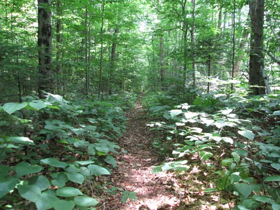
The start of the abandoned Osseo Trail
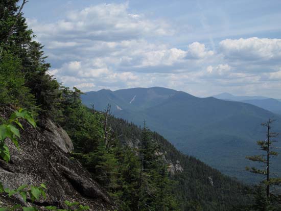
Looking at the Bonds and Mt. Washington from near the summit of Whaleback Mountain
Descending the abandoned Osseo Trail on the way to South Whaleback
The viewless summit of South Whaleback
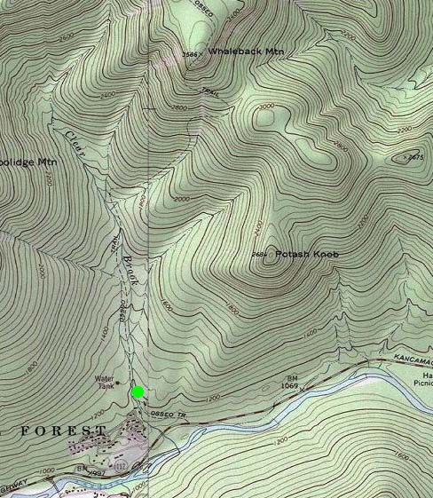

Directions to trailhead: The old Osseo Trail departs the Clearwater condo complex just below a visitor parking lot.
Back to Whaleback Mountain Profile
Back to Whaleback Mountain (South Peak) Profile
|