Home
States
Colorado
Connecticut
Maine
Massachusetts
New Hampshire
New York
Rhode Island
Utah
Vermont
View All
Lists
NE 4,000 Footers
NE 100 Highest
NH 4,000 Footers
NH 100 Highest
NH 52 With A View
NH Belknap Range
NH Ossipee 10
Links
Trail Conditions
Trip Log
Sunrises
Sunsets
About
|
Whitten Woods - South Peak, Whitten Woods - North Peak
Ashland, NH
Trailheads, measurements, times, distances, and maps are all approximate and relative to the hike(s) as shown below.

The Main Junction Trail
Route: Main Junction Trail, South Peak Trail, North Peak Trail
Sloppy shoulder season conditions. About half a foot of snow fell last night, which immediately started melting due to unfrozen ground (down to about 1-2" at this point when not on existing snowpack).
Out and back to South Peak was slushy with some bare ground and mud, as well as a few hidden slush ice areas in the shade. Beautiful views from South Peak this afternoon, particularly of Squam.
The west side of the North Peak Trail was particularly sloppy with mud on the woods road portion and some foot deep snow on the north side of the peak.
Skis or snowshoes probably would have been ideal this morning, but it's too sloppy at this juncture for those. May be a little rough if it sets up overnight due to all of the divets.
| Hike Ratings |
|
Getting To Trailhead: |
Easy |
| Destination: |
Whitten Woods - South Peak |
|
Length: |
Easy |
|
Steepness: |
Easy |
|
Navigation: |
Easy |
|
Views: |
Excellent |
|
Crowds: |
Minimal |
| Destination: |
Whitten Woods - North Peak |
|
Length: |
Moderate |
|
Steepness: |
Easy |
|
Navigation: |
Easy |
|
Views: |
Excellent |
|
Crowds: |
Minimal |
|
| Hike Stats |
|
Date Hiked: |
Tuesday, March 24, 2020 |
| Parking Elevation: |
750' |
| Destination: |
Whitten Woods - South Peak |
| Time Elapsed: |
00:14 |
| Trailhead Elevation: |
750' |
| Summit Elevation: |
1,136' |
| Distance: |
.9 mile |
| Vertical Gain: |
386' |
| Destination: |
Whitten Woods - North Peak |
| Time Elapsed: |
00:28 |
| Trailhead Elevation: |
1,136' |
| Summit Elevation: |
1,173' |
| Vertical Gain: |
273' |
|
|
| Hike Time Elapsed: |
01:00 |
| Hike Distance: |
3.1 miles |
| Hike Vertical Gain: |
664' |
|

The Whitten Woods trailhead

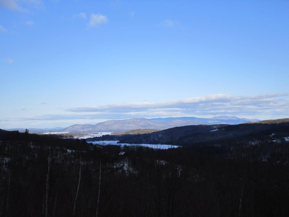
Looking east-northeast at Red Hill and the Ossipees from Whitten Woods South Peak

The North Peak Trail

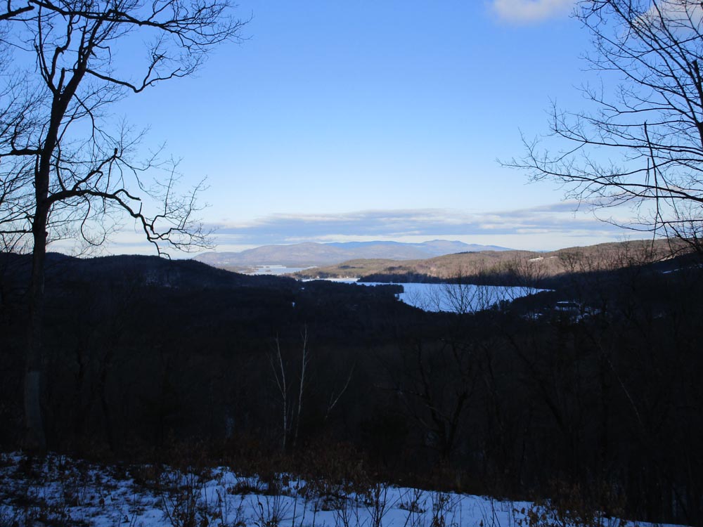
Looking at Red Hill and the Ossipees from near the Whitten Woods North Peak


Directions to trailhead: The Whitten Woods trailhead and parking lot is located off Highland Street and Ashland, just to the north of the height of land.
Back to Whitten Woods - South Peak Profile
Back to Whitten Woods - North Peak Profile
|