Home
States
Colorado
Connecticut
Maine
Massachusetts
New Hampshire
New York
Rhode Island
Utah
Vermont
View All
Lists
NE 4,000 Footers
NE 100 Highest
NH 4,000 Footers
NH 100 Highest
NH 52 With A View
NH Belknap Range
NH Ossipee 10
Links
Trail Conditions
Trip Log
Sunrises
Sunsets
About
|
Kessler Peak
Salt Lake County, UT
Trailheads, measurements, times, distances, and maps are all approximate and relative to the hike(s) as shown below.
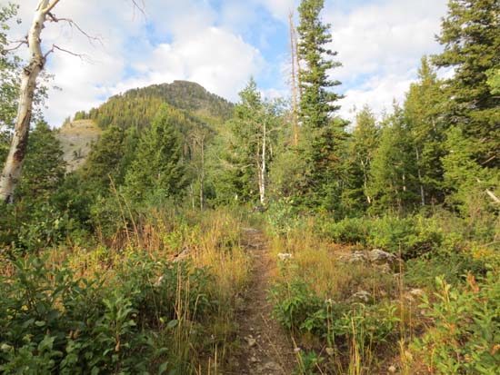
The path to Kessler Peak
Route: FR109, unnamed path
After a long day hiking Mt. Timpanogos, I opted to find something a bit shorter for the final hike of my trip. Initially considering something on the north side of Big Cottonwood Canyon, the sunrise turned my attention to a towering peak on the south side of the road. A quick consultation with my map revealed that it was Kessler Peak.
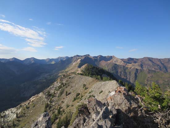
After a short road walk, I turned right onto an unmarked path and followed this up a steady ramp, eventually passing through some meadows. Awhile thereafter, the trail crossed near the top of multiple slides with a very narrow footbed. Certainly a little unsettling!
Eventually reaching the rocky summit, there were excellent views in all directions. While I was tempted to continue south and attempt a loop, I opted to stick to the terrain I was familiar with.
| Hike Ratings |
|
Getting To Trailhead: |
Moderate |
| Destination: |
Kessler Peak |
|
Length: |
Moderate |
|
Steepness: |
Difficult |
|
Navigation: |
Moderate |
|
Views: |
Excellent |
|
Crowds: |
Minimal |
|
| Hike Stats |
|
Date Hiked: |
Thursday, August 29, 2013 |
| Parking Elevation: |
7,460' |
| Time to Trailhead: |
00:16 |
| Destination: |
Kessler Peak |
| Time Elapsed: |
01:33 |
| Trailhead Elevation: |
7,740' |
| Summit Elevation: |
10,403' |
| Distance: |
2.2 miles |
| Vertical Gain: |
2,663' |
|
|
| Hike Time Elapsed: |
04:05 |
| Hike Distance: |
5.8 miles |
| Hike Vertical Gain: |
2,963' |
|
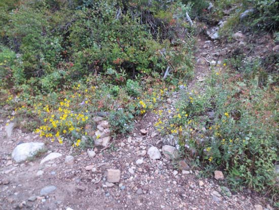
The start of the path to Kessler Peak
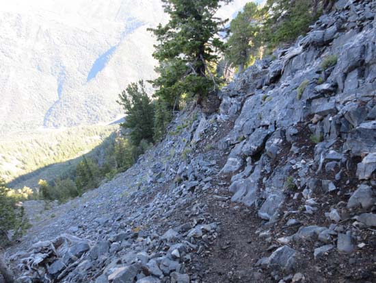
The narrow path to Kessler Peak
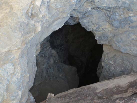
A mine along the upper portion of the path
Looking south from Kessler Peak
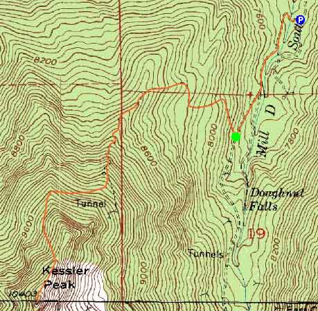

Directions to trailhead: From Belt Route I-215, take exit 6 to Route 190 southeast. Continue into Big Cottonwood Canyon. Take a right onto FR019. Just before a sharp right turn, there will be a parking area on the left. Park here, then continue on foot on the road, around the corkscrew turn and through the gate. A little over five minutes after bearing right at a fork, an unmarked path to Kessler Peak will head uphill to the right.
Back to Kessler Peak Profile
|

