Home
States
Colorado
Connecticut
Maine
Massachusetts
New Hampshire
New York
Rhode Island
Utah
Vermont
View All
Lists
NE 4,000 Footers
NE 100 Highest
NH 4,000 Footers
NH 100 Highest
NH 52 With A View
NH Belknap Range
NH Ossipee 10
Links
Trail Conditions
Trip Log
Sunrises
Sunsets
About
|
Bromley Mountain
Bromley, VT
Trailheads, measurements, times, distances, and maps are all approximate and relative to the hike(s) as shown below.
Appalachian Trail
My original intent was to hike the Appalachian Trail north from Mad Tom Notch over Styles Peak, however a sign saying no vehciles kept me away (I was unsure how much of a road hike I'd have to do to get to the trailhead). As a result, I went to plan B, which was to hike Bromley from the Route 11 trailhead.
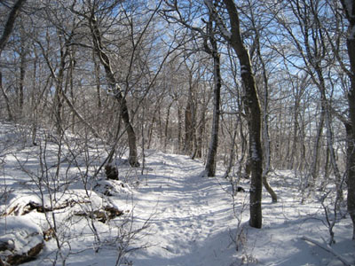
Despite the unseasonably warm December, the trail was definitely winterlike. While there was only a dusting of snow at the base, pretty much everything above 2,100 feet had an inch or two of solid crust.
The ski area seemed busy considering the limited amount of terrain open.
| Hike Ratings |
|
Getting To Trailhead: |
Easy |
| Destination: |
Bromley Mountain |
|
Length: |
Moderate |
|
Steepness: |
Moderate |
|
Navigation: |
Easy |
|
Views: |
Excellent |
|
Crowds: |
Minimal |
|
| Hike Stats |
|
Date Hiked: |
December 29, 2006 |
| Hike Commenced: |
9:09 AM |
| Parking Elevation: |
1,857' |
| Destination: |
Bromley Mountain |
| Ascent Commenced: |
9:10 AM Appalachain Trail trailhead |
| Summit Reached: |
10:20 AM |
| Trailhead Elevation: |
1,862' |
| Summit Elevation: |
3,263' |
| Vertical Gain: |
1,521' |
| Hike Ended: |
11:44 AM |
| Hike Vertical Gain: |
1,646' |
|
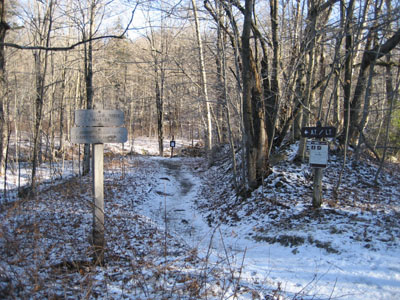
Route 11 Appalachian Trail trailhead
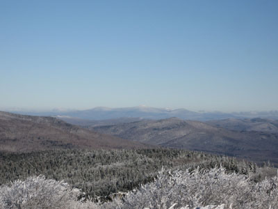
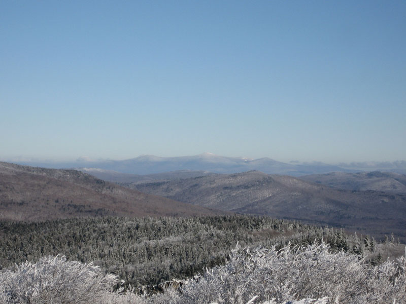
Looking north-northeast from the Bromley Mountain summit
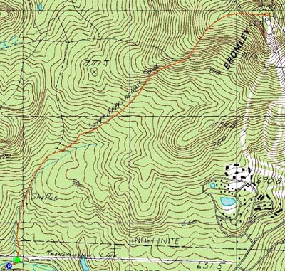

Directions to trailhead: Take Route 11 west of the ski area - Appalachian Trail parking lot on right side of road.
Back to Bromley Mountain Profile
|