Home
States
Colorado
Connecticut
Maine
Massachusetts
New Hampshire
New York
Rhode Island
Utah
Vermont
View All
Lists
NE 4,000 Footers
NE 100 Highest
NH 4,000 Footers
NH 100 Highest
NH 52 With A View
NH Belknap Range
NH Ossipee 10
Links
Trail Conditions
Trip Log
Sunrises
Sunsets
About
|
Mt. Olga
Marlboro, VT
Trailheads, measurements, times, distances, and maps are all approximate and relative to the hike(s) as shown below.
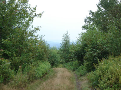
Looking down the old Great White Way ski trail
Hogback used to be a medium sized downhill ski area during its prime. Various buildings and T-Bar lifts still exist throughout. While part of it is on state forest land, be careful as other parts are posted. Learning from my Vice President, I didn't walk onto the east face of the ski area, as I heard side arm fire at near point blank range.
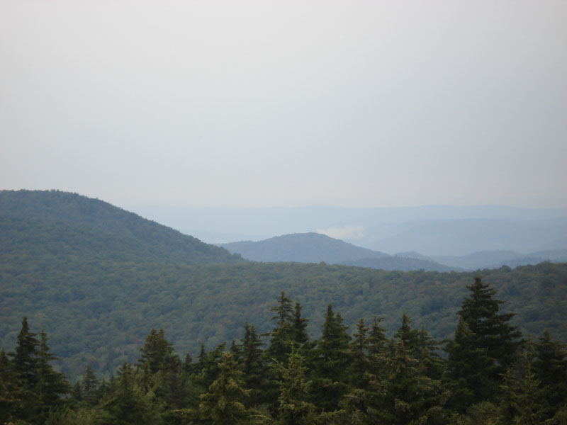
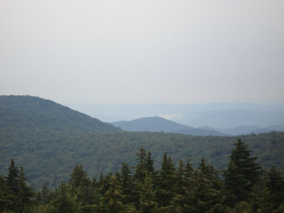
There is a firetower at the summit which provides for excellent views on a clear day. There are also excellent views at the base of the ski area.
| Hike Ratings |
|
Getting To Trailhead: |
Moderate |
| Destination: |
Mt. Olga |
|
Length: |
Easy |
|
Steepness: |
Easy |
|
Navigation: |
Moderate |
|
Views: |
Excellent |
|
Crowds: |
Minimal |
|
| Hike Stats |
|
Date Hiked: |
Saturday, August 19, 2006 |
| Hike Commenced: |
10:41 AM |
| Parking Elevation: |
2,168' |
| Destination: |
Mt. Olga |
| Ascent Commenced: |
10:46 AM at Great White Way trailhead |
| Summit Reached: |
10:56 AM |
| Trailhead Elevation: |
2,161' |
| Summit Elevation: |
2,415' |
| Vertical Gain: |
262' |
| Hike Ended: |
11:18 AM |
| Hike Vertical Gain: |
289' |
|
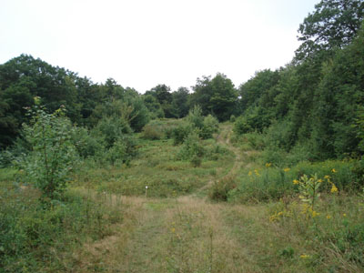
Looking up the old Practice Slope ski trail near the beginning of the hike
Looking northeast on the Mt. Olga firetower
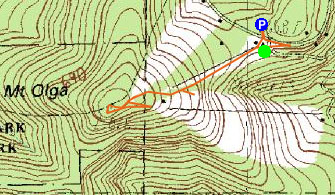

Directions to trailhead: Take Route 9 west from Brattleboro. Hogback/Mt. Olga will be on the left side of the road at the top of a large uphill section of road.
Back to Mt. Olga Profile
|