Home
States
Colorado
Connecticut
Maine
Massachusetts
New Hampshire
New York
Rhode Island
Utah
Vermont
View All
Lists
NE 4,000 Footers
NE 100 Highest
NH 4,000 Footers
NH 100 Highest
NH 52 With A View
NH Belknap Range
NH Ossipee 10
Links
Trail Conditions
Trip Log
Sunrises
Sunsets
About
|
Putney Mountain
Townshend, VT
Trailheads, measurements, times, distances, and maps are all approximate and relative to the hike(s) as shown below.
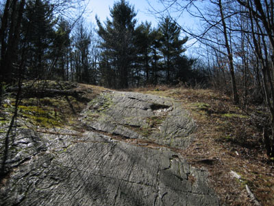
Ridge Line Trail to Putney Mountain
After hiking Bald Mountain, I finally got around to doing the brief hike up Putney Mountain. This is a brief hike over some rolling land, ending in a very nice field with excellent views to the west and east.
| Hike Ratings |
|
Getting To Trailhead: |
Easy |
| Destination: |
Putney Mountain |
|
Length: |
Easy |
|
Steepness: |
Easy |
|
Navigation: |
Easy |
|
Views: |
Excellent |
|
Crowds: |
Heavy |
|
| Hike Stats |
|
Date Hiked: |
January 7, 2007 |
| Hike Commenced: |
12:16 PM |
| Parking Elevation: |
1,515' |
| Destination: |
Putney Mountain |
| Ascent Commenced: |
12:18 PM |
| Summit Reached: |
12:30 PM |
| Trailhead Elevation: |
1,520' |
| Summit Elevation: |
1,640' |
| Vertical Gain: |
180' |
| Hike Ended: |
12:48 PM |
| Hike Distance: |
1.2 miles |
| Hike Vertical Gain: |
265' |
|
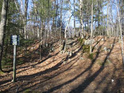
Ridge Line Trail trailhead

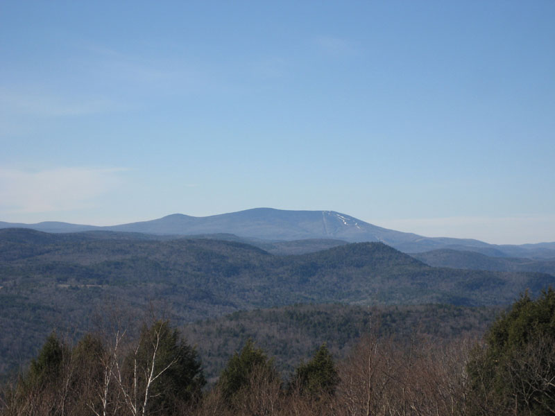
Looking west over Bald Mountain toward Stratton Mountain
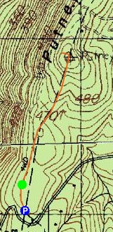

Directions to trailhead: From downtown Putney (5 North), take a left onto Westminster Road, then a left on West Hill Road, then a double right onto Putney Mountain Road (right, then bear right). Parking area is a few miles up near the top of the mountain.
Back to Putney Mountain Profile
|