Home
States
Colorado
Connecticut
Maine
Massachusetts
New Hampshire
New York
Rhode Island
Utah
Vermont
View All
Lists
NE 4,000 Footers
NE 100 Highest
NH 4,000 Footers
NH 100 Highest
NH 52 With A View
NH Belknap Range
NH Ossipee 10
Links
Trail Conditions
Trip Log
Sunrises
Sunsets
About
|
Mt. Elbert
Lake County, CO
Trailheads, measurements, times, distances, and maps are all approximate and relative to the hike(s) as shown below.
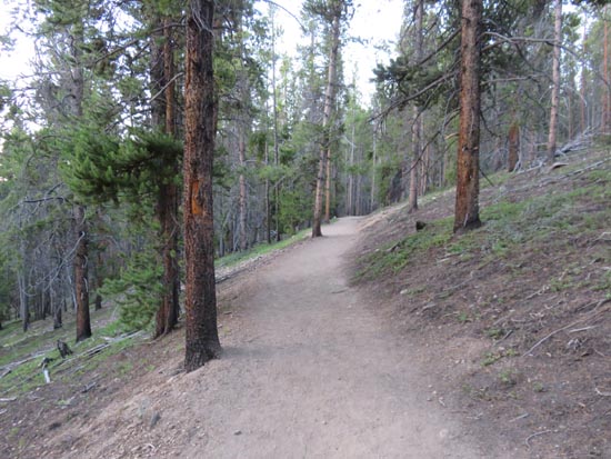
The below-tree line ascent
Route: North Mt. Elbert Trail
After starting previous hikes already above treeline, it was a nice change of pace to start this one in nice, open woods. I fortunately was able to catch the sunrise in a slight opening in the trees.
Reaching treeline, it was a steady ascent with some loose areas. Nothing technical in nature, nor much exposure to drop offs.
Winds made it chilly at the summit, but there were some places to get out of the gusts. Very nice views, including my closest look yet at the white Snowmass ridge.
Hoards of people ascending whilst I was descending.
| Hike Ratings |
|
Getting To Trailhead: |
Easy |
| Destination: |
Mt. Elbert |
|
Length: |
Moderate |
|
Steepness: |
Moderate |
|
Navigation: |
Moderate |
|
Views: |
Excellent |
|
Crowds: |
Heavy |
|
| Hike Stats |
|
Date Hiked: |
Friday, July 29, 2016 |
| Parking Elevation: |
10,040' |
| Destination: |
Mt. Elbert |
| Time Elapsed: |
02:53 |
| Trailhead Elevation: |
10,040' |
| Summit Elevation: |
14,433' |
| Vertical Gain: |
4,468' |
|
|
| Hike Time Elapsed: |
05:41 |
| Hike Vertical Gain: |
4,543' |
|
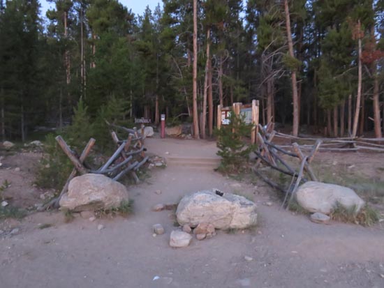
The Mt. Elbert Trailhead

The sunrise
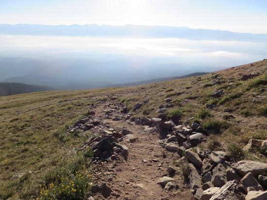
Valley fog
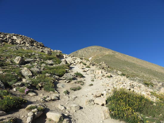
Looking toward the false summit
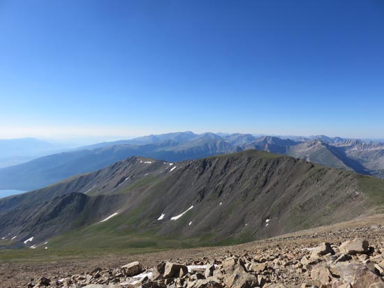
Looking southeast from Mt. Elbert
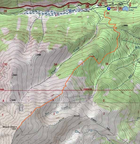

Directions to trailhead: From the sharp turn on US 24 south of Leadville, take 5A West, staying straight onto 300, then take a left onto 11/Halfmoon Road, then take a right to stay on 11, all in short order. The Mt. Elbert Trailhead parking area will eventually be on the left.
Back to Mt. Elbert Profile
|

