Home
States
Colorado
Connecticut
Maine
Massachusetts
New Hampshire
New York
Rhode Island
Utah
Vermont
View All
Lists
NE 4,000 Footers
NE 100 Highest
NH 4,000 Footers
NH 100 Highest
NH 52 With A View
NH Belknap Range
NH Ossipee 10
Links
Trail Conditions
Trip Log
Sunrises
Sunsets
About
|
Mt. Evans
Clear Creek County, CO
Trailheads, measurements, times, distances, and maps are all approximate and relative to the hike(s) as shown below.
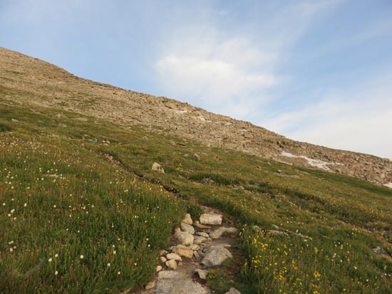
Looking up the Northeast Face route
Route: Northeast Face
To adjust for the altitude, I flew into Denver around dinner time on a Monday and stayed Tuesday night at that elevation as well. Wanting to take it easy on my initial high altitude hike, I opted for a short, non-technical route up Mt. Evans.
Starting around 6:30, I did the short road walk to the unsigned trailhead for the Northeast Face. The trail was increasingly steep as it climbed with some loose footing. Reaching the auto road, I quickly found the switchbacked trail to the summit, following some mountain goats initially.
| Hike Ratings |
|
Getting To Trailhead: |
Easy |
| Destination: |
Mt. Evans |
|
Length: |
Moderate |
|
Steepness: |
Moderate |
|
Navigation: |
Moderate |
|
Views: |
Excellent |
|
Crowds: |
Moderate |
|
| Hike Stats |
|
Date Hiked: |
Tuesday, July 26, 2016 |
| Parking Elevation: |
12,850' |
| Destination: |
Mt. Evans |
| Time Elapsed: |
00:51 |
| Trailhead Elevation: |
12,900' |
| Summit Elevation: |
14,264' |
| Vertical Gain: |
1,364' |
|
|
| Hike Time Elapsed: |
02:20 |
| Hike Vertical Gain: |
1,430' |
|
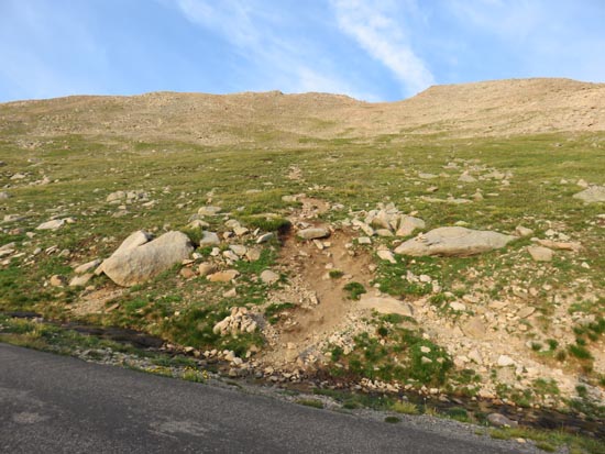
The start of the Northeast Face route off the Mt. Evans auto road
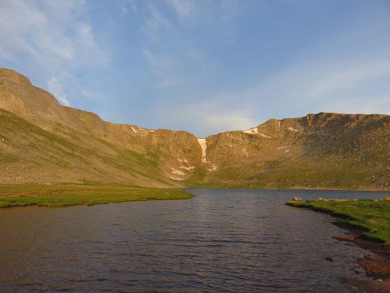
Summit Lake
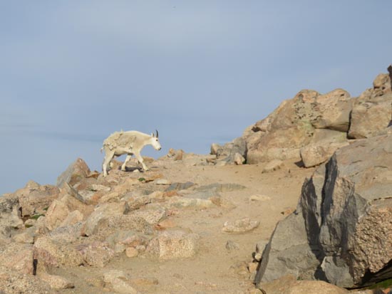
A native
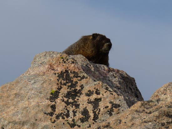
Another native
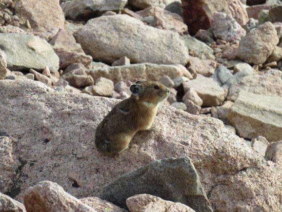
Another native

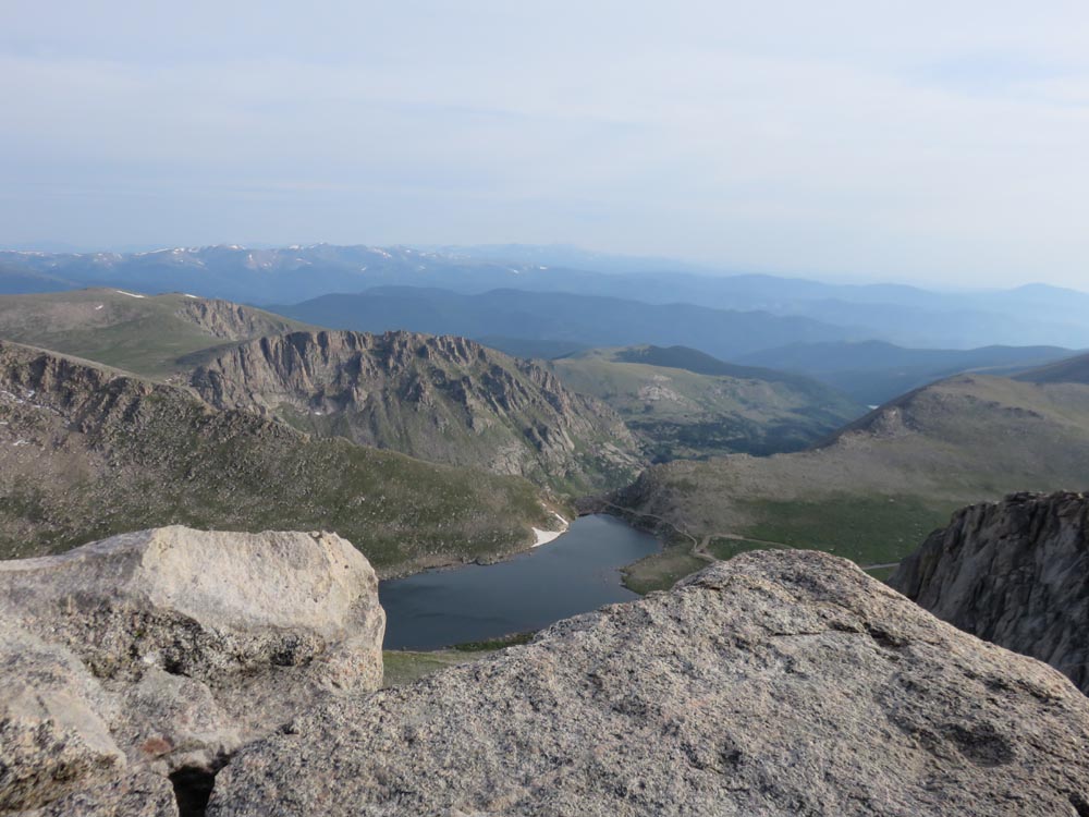
Looking at Summit Lake from Mt. Evans
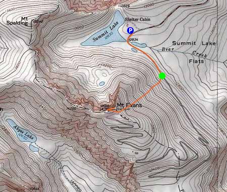

Directions to trailhead: From Idaho Springs, take Route 103 south to Echo Lake, then take a right onto Route 5 (Mt. Evans Road). There is a self-serve fee parking area on the eastern shore of Summit Lake.
Back to Mt. Evans Profile
|