Home
States
Colorado
Connecticut
Maine
Massachusetts
New Hampshire
New York
Rhode Island
Utah
Vermont
View All
Lists
NE 4,000 Footers
NE 100 Highest
NH 4,000 Footers
NH 100 Highest
NH 52 With A View
NH Belknap Range
NH Ossipee 10
Links
Trail Conditions
Trip Log
Sunrises
Sunsets
About
|
Pikes Peak
Teller County, CO, El Paso County, CO
Trailheads, measurements, times, distances, and maps are all approximate and relative to the hike(s) as shown below.
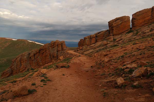
The Devil's Playground
Route: Northwest Slopes
The mid day forecast was not looking favorable, so I opted for a pre-sunrise start. Reaching treeline around sunrise, the skies were cloudy, but the peaks were in the clear. While the footing was a bit subpar on the ascent up the slope to the Devils Playground due to erosion, it improved as one arrived at the plateau.
After the Devils Playground, the trail tended to run close to the auto road. After a rocky final ascent, I reached the summit area, which was only just starting to accumulate sightseers from the auto road.
With the horizon not looking great, I didn't loiter for long. Ironically, as I arrived at the trailhead, some sun had broken through.
| Hike Ratings |
|
Getting To Trailhead: |
Easy |
| Destination: |
Pikes Peak |
|
Length: |
Difficult |
|
Steepness: |
Difficult |
|
Navigation: |
Moderate |
|
Views: |
Excellent |
|
Crowds: |
Heavy |
|
| Hike Stats |
|
Date Hiked: |
Saturday, July 22, 2017 |
| Parking Elevation: |
11,600' |
| Destination: |
Pikes Peak |
| Time Elapsed: |
03:15 |
| Trailhead Elevation: |
9,980' |
| Summit Elevation: |
14,110' |
| Distance: |
7.2 miles |
| Vertical Gain: |
4,330' |
|
|
| Hike Time Elapsed: |
06:07 |
| Hike Vertical Gain: |
4,530' |
|
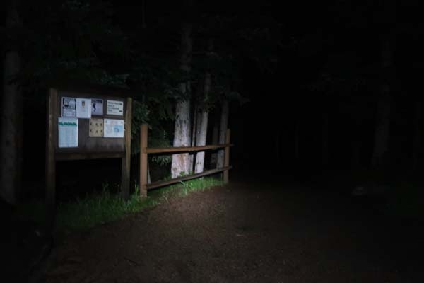
The Crags Trailhead
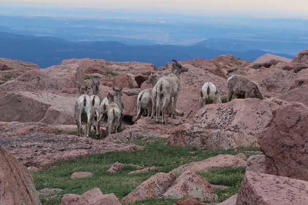
The natives
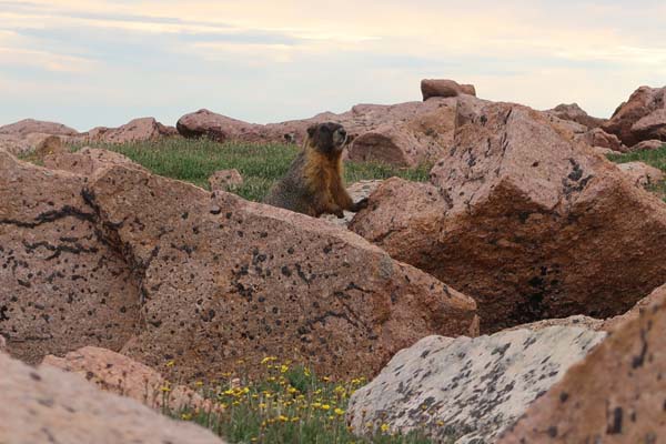
Another native
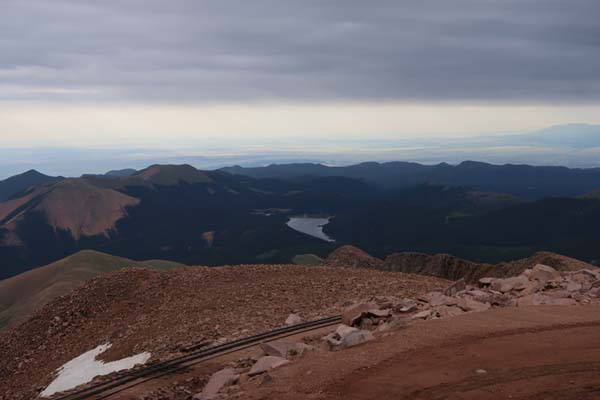
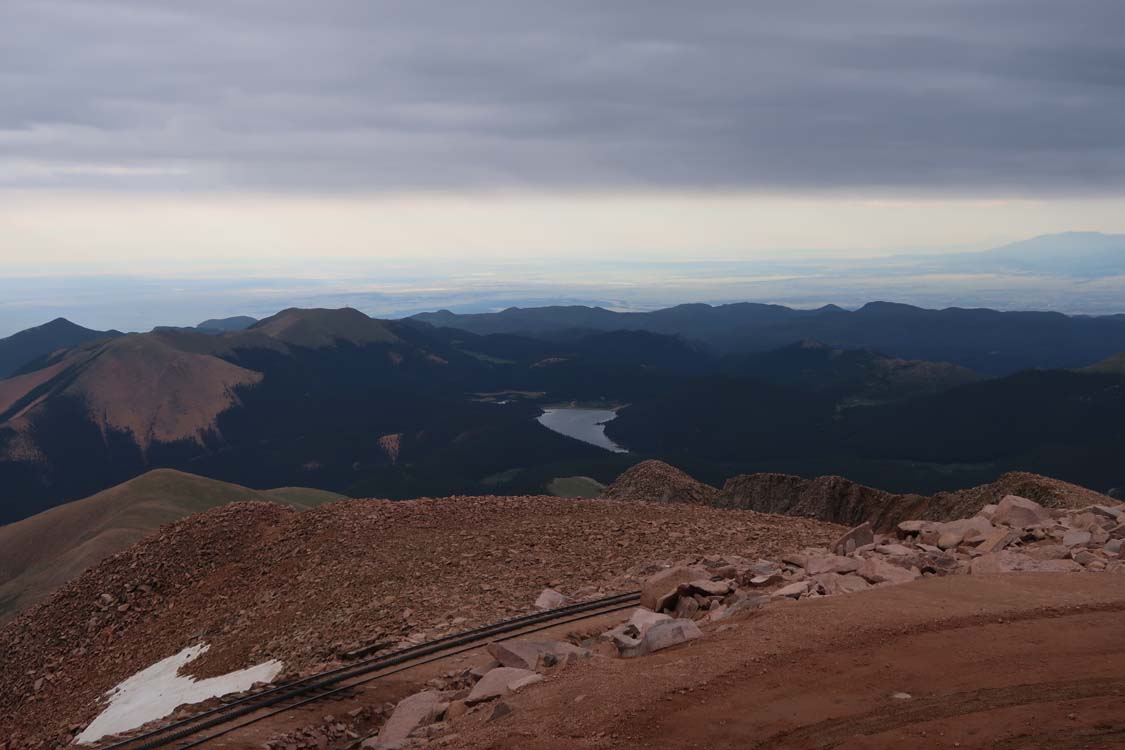
Looking east at Big Tooth Reservoir from Pikes Peak
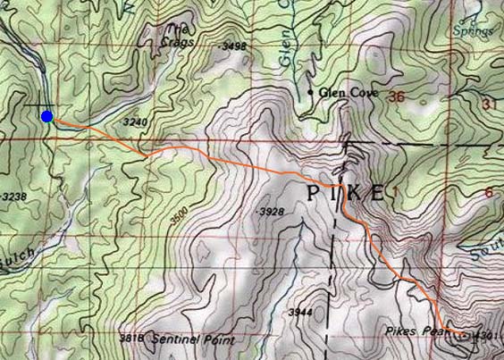

Directions to trailhead: From US 24 in Divide, take route 67 south, then take a left onto Teller County Road 62/Forest Road 383. Bear right near Rocky Mountain Mennonite Camp to stay on County Road 62/Forest Road 383. The Crags Trailhead parking lot will be on the right, prior to reaching The Crags Campground. The trailhead is across the road, to the right of the outhouses.
Back to Pikes Peak Profile
|