Home
States
Colorado
Connecticut
Maine
Massachusetts
New Hampshire
New York
Rhode Island
Utah
Vermont
View All
Lists
NE 4,000 Footers
NE 100 Highest
NH 4,000 Footers
NH 100 Highest
NH 52 With A View
NH Belknap Range
NH Ossipee 10
Links
Trail Conditions
Trip Log
Sunrises
Sunsets
About
|
Quandary Peak
Summit County, CO
Trailheads, measurements, times, distances, and maps are all approximate and relative to the hike(s) as shown below.
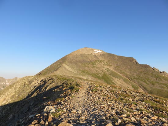
The Quandary Peak Trail
Route: Quandary Peak Trail
For the last 14er hike of the trip, I opted for Quandary Peak. Arriving at the trailhead, the parking was quickly filling up. While the trail seemed fairly busy on the ascent, it was extremely busy on the descent - a steady line of hikers was visible as far as the eye could see.
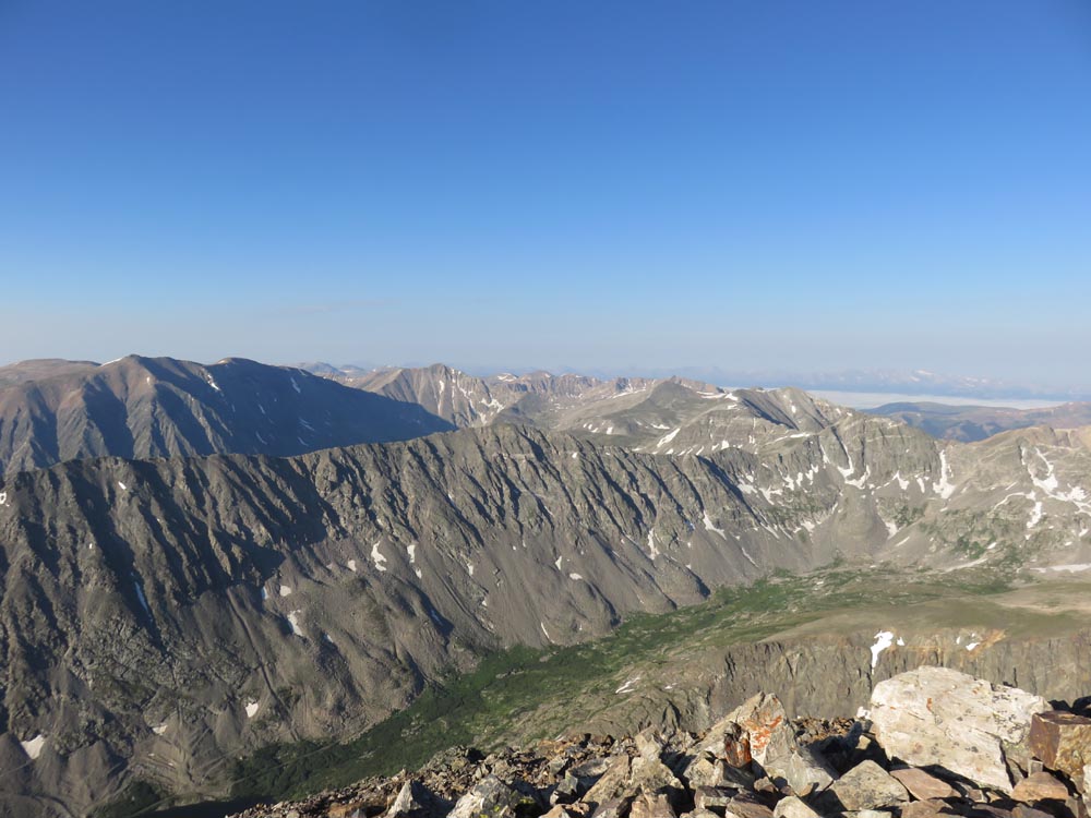
Overall, the trail was fairly tame down low with some rockier areas higher up, but no scrambles or areas of exposure. Very nice views from the summit.
| Hike Ratings |
|
Getting To Trailhead: |
Easy |
| Destination: |
Quandary Peak |
|
Length: |
Moderate |
|
Steepness: |
Moderate |
|
Navigation: |
Easy |
|
Views: |
Excellent |
|
Crowds: |
Heavy |
|
| Hike Stats |
|
Date Hiked: |
Saturday, July 30, 2016 |
| Parking Elevation: |
10,800' |
| Destination: |
Quandary Peak |
| Time Elapsed: |
01:51 |
| Trailhead Elevation: |
10,800' |
| Summit Elevation: |
14,265' |
| Vertical Gain: |
3,515' |
|
|
| Hike Time Elapsed: |
03:55 |
| Hike Vertical Gain: |
3,565' |
|
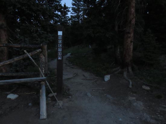
The lower Quandary Peak Trail trailhead
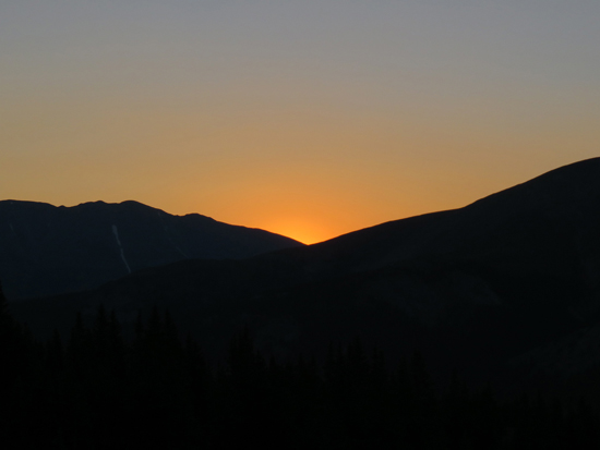
The sunrise
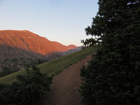
The Quandary Peak Trail

Looking southwest toward Mt. Democrat
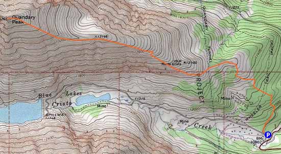

Directions to trailhead: From Alma, take Route 9 north over Hoosier Pass. Take a left onto Route 850, at which point there is a parking lot on the right for Quandary.
Back to Quandary Peak Profile
|