Home
States
Colorado
Connecticut
Maine
Massachusetts
New Hampshire
New York
Rhode Island
Utah
Vermont
View All
Lists
NE 4,000 Footers
NE 100 Highest
NH 4,000 Footers
NH 100 Highest
NH 52 With A View
NH Belknap Range
NH Ossipee 10
Links
Trail Conditions
Trip Log
Sunrises
Sunsets
About
|
Torreys Peak, Grays Peak
Clear Creek County, CO
Trailheads, measurements, times, distances, and maps are all approximate and relative to the hike(s) as shown below.
Looking up the Grays Peak Trail
Route: Grays Peak Trail, spur trail, Continental Divide Trail
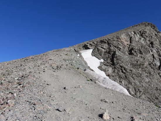
The day started off with a road walk, as I was unable to make it up a deeply rutted area with my rental car. Eventually arriving at the trailhead, the trail started off quite gradually as it worked its way up meadows. Eventually reaching the slope of Grays, I took the cut over trail up to the Grays-Torreys saddle, having to cross a small snow field at one point. The balance of the hike up Torreys was snow free and not technical.
Returning to the saddle, I ascended to the crowd atop Grays Peak, then descended the popular switchbacked trail.
| Hike Ratings |
|
Getting To Trailhead: |
Difficult |
| Destination: |
Torreys Peak |
|
Length: |
Moderate |
|
Steepness: |
Moderate |
|
Navigation: |
Moderate |
|
Views: |
Excellent |
|
Crowds: |
Heavy |
| Destination: |
Grays Peak |
|
Length: |
Moderate |
|
Steepness: |
Moderate |
|
Navigation: |
Moderate |
|
Views: |
Excellent |
|
Crowds: |
Heavy |
|
| Hike Stats |
|
Date Hiked: |
Wednesday, July 27, 2016 |
| Parking Elevation: |
10,050' |
| Time to Trailhead: |
00:32 |
| Destination: |
Torreys Peak |
| Time Elapsed: |
02:07 |
| Trailhead Elevation: |
11,280' |
| Summit Elevation: |
14,267' |
| Vertical Gain: |
3,057' |
| Destination: |
Grays Peak |
| Time Elapsed: |
00:40 |
| Trailhead Elevation: |
14,267' |
| Summit Elevation: |
14,270' |
| Vertical Gain: |
563' |
|
|
| Hike Time Elapsed: |
05:54 |
| Hike Vertical Gain: |
4,900' |
|
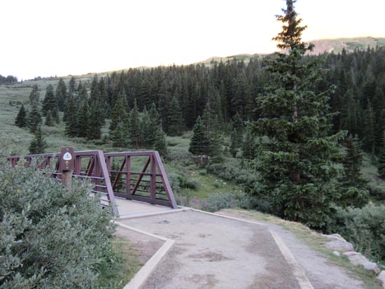
The Grays Peak Trail trailhead
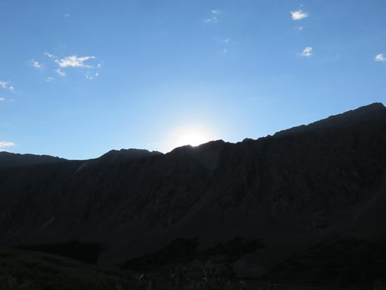
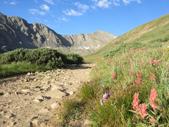
Sunrise from the Grays Peak Trail
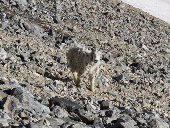
A native
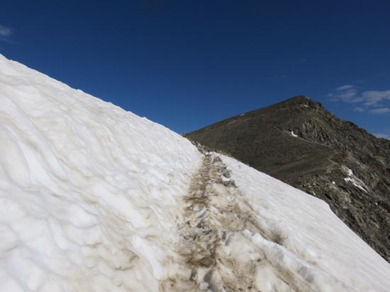
The crossover to the Grays-Torreys col
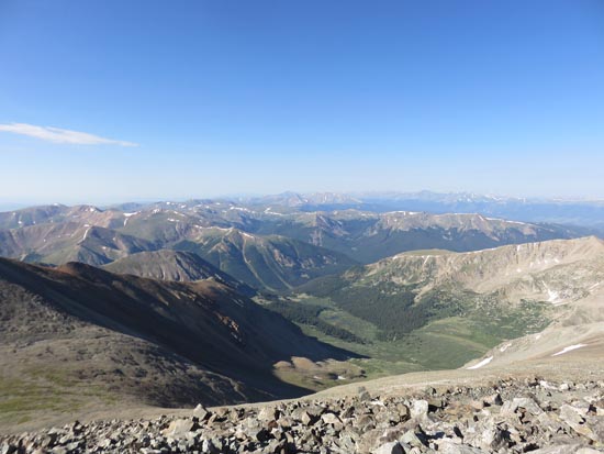
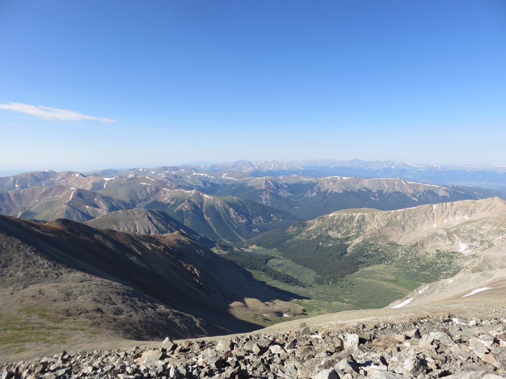
Looking southeast from Torreys Peak
Looking back at Torreys Peak
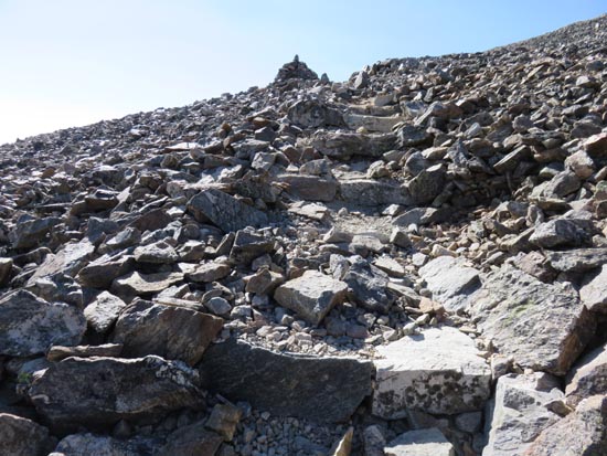
Ascending Grays Peak
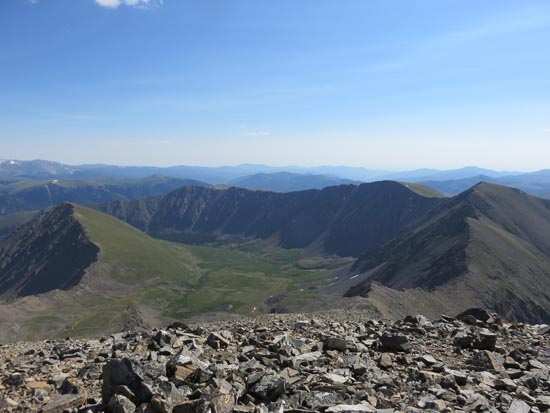
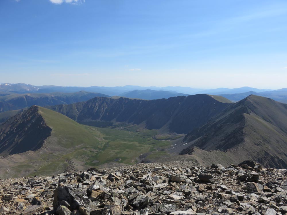
Looking at Stevens Gulch from Grays Peak
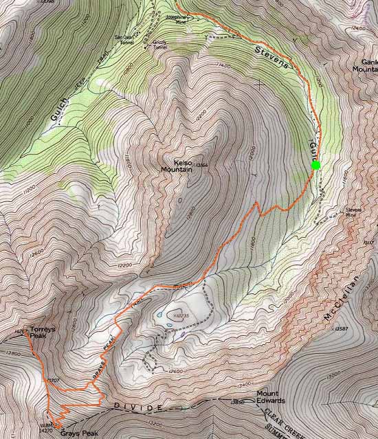

Directions to trailhead: From exit 221 of I-70, take Route 321-Stevens Gulch Road south. Cars may not be able to make it to the trailhead due to increasingly rough road.
Back to Torreys Peak Profile
Back to Grays Peak Profile
|