Home
States
Colorado
Connecticut
Maine
Massachusetts
New Hampshire
New York
Rhode Island
Utah
Vermont
View All
Lists
NE 4,000 Footers
NE 100 Highest
NH 4,000 Footers
NH 100 Highest
NH 52 With A View
NH Belknap Range
NH Ossipee 10
Links
Trail Conditions
Trip Log
Sunrises
Sunsets
About
|
Bald Mountain
Rangeley, ME
Trailheads, measurements, times, distances, and maps are all approximate and relative to the hike(s) as shown below.
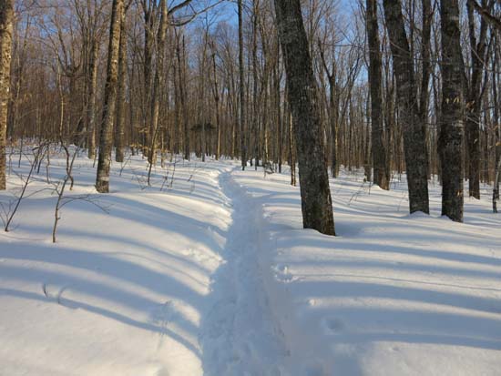
The Bald Mountain Trail
Route: Bald Mountain Trail
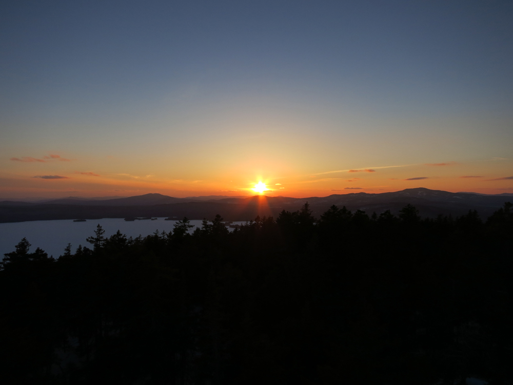
Trail was packed for snowshoe use. 2-3 feet of snowpack. Nice sunset from the observation tower.
| Hike Ratings |
|
Getting To Trailhead: |
Easy |
| Destination: |
Bald Mountain |
|
Length: |
Moderate |
|
Steepness: |
Difficult |
|
Navigation: |
Easy |
|
Views: |
Excellent |
|
Crowds: |
Minimal |
|
| Hike Stats |
|
Date Hiked: |
Thursday, April 3, 2014 |
| Parking Elevation: |
1,520' |
| Destination: |
Bald Mountain |
| Time Elapsed: |
00:42 |
| Trailhead Elevation: |
1,520' |
| Summit Elevation: |
2,470' |
| Distance: |
1.3 miles |
| Vertical Gain: |
965' |
|
|
| Hike Time Elapsed: |
01:50 |
| Hike Vertical Gain: |
1,100' |
|
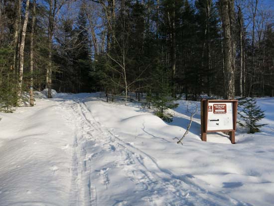
Bald Mountain Trail trailhead
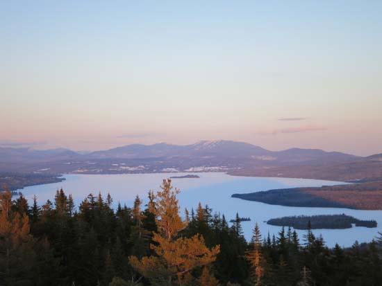
The Saddlebacks as seen from the Bald Mountain observation tower
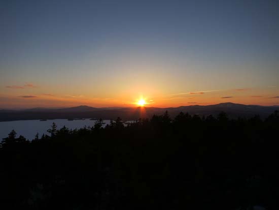
The sunset from the Bald Mountain observation tower
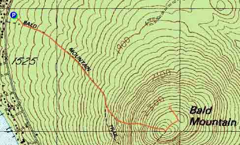

Directions to trailhead: From near the end of Route 4 in Oquossoc, take a left onto Bald Mountain Road. The Bald Mountain Trail trailhead and parking lot will soon be on the left. Bald Mountain Road lot is not plowed in winter.
Back to Bald Mountain Profile
|