Home
States
Colorado
Connecticut
Maine
Massachusetts
New Hampshire
New York
Rhode Island
Utah
Vermont
View All
Lists
NE 4,000 Footers
NE 100 Highest
NH 4,000 Footers
NH 100 Highest
NH 52 With A View
NH Belknap Range
NH Ossipee 10
Links
Trail Conditions
Trip Log
Sunrises
Sunsets
About
|
Bald Mountain
Dedham, ME
Trailheads, measurements, times, distances, and maps are all approximate and relative to the hike(s) as shown below.
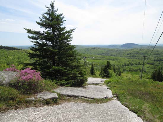
Looking down the access road
Route: Access road
Access road is pretty much a top to bottom ledge slab...pretty neat actually. Would not be too fun in black ice or wet conditions. Lots of views on the way up, as well as directional views from near the towered summit.
| Hike Ratings |
|
Getting To Trailhead: |
Easy |
| Destination: |
Bald Mountain |
|
Length: |
Easy |
|
Steepness: |
Difficult |
|
Navigation: |
Easy |
|
Views: |
Excellent |
|
Crowds: |
Moderate |
|
| Hike Stats |
|
Date Hiked: |
Sunday, June 1, 2014 |
| Parking Elevation: |
740' |
| Destination: |
Bald Mountain |
| Time Elapsed: |
00:10 |
| Trailhead Elevation: |
740' |
| Summit Elevation: |
1,261' |
| Vertical Gain: |
521' |
|
|
| Hike Time Elapsed: |
00:42 |
| Hike Vertical Gain: |
521' |
|
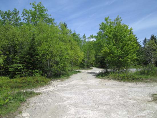
The start of the access road
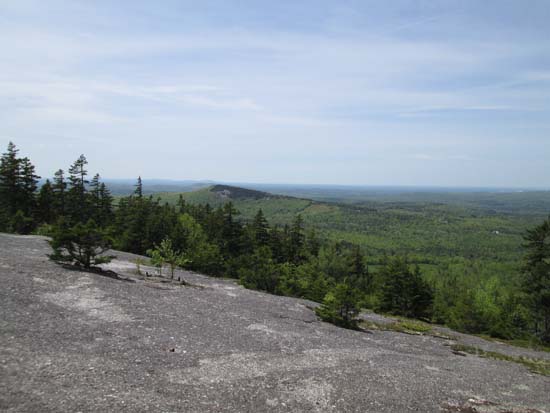
Looking west at Peaked Mountain from Bald Mountain
Directions to trailhead: From US 1A in East Holden, take Upper Dedham Road south, then eventually bear left onto Bald Mountain Road. At a junction with Johnson Road, Bald Mountain Road turns right. Instead, continue straight on Johnson Road. The Bald Mountain access road will be on the left shortly thereafter, with parking on a large ledge.
Back to Bald Mountain Profile
|

