Home
States
Colorado
Connecticut
Maine
Massachusetts
New Hampshire
New York
Rhode Island
Utah
Vermont
View All
Lists
NE 4,000 Footers
NE 100 Highest
NH 4,000 Footers
NH 100 Highest
NH 52 With A View
NH Belknap Range
NH Ossipee 10
Links
Trail Conditions
Trip Log
Sunrises
Sunsets
About
|
Baldpate Mountain - West Peak, Baldpate Mountain - East Peak
Grafton, ME
Trailheads, measurements, times, distances, and maps are all approximate and relative to the hike(s) as shown below.
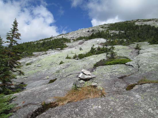
Looking up the Appalachian Trail on the way to West Baldpate
Route: Appalachian Trail
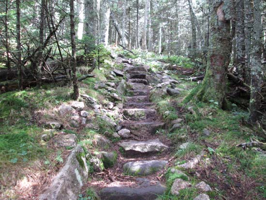
Trail alternated between dry, minor mud, and slippery ledge. A few areas of extended erosion on the way up West Baldpate require careful stepping. My first time up since they opened the new stairs (hundreds of rock steps)...much better than the old, severely eroded stretch. Ledges on the way up East Baldpate were mostly dry.
Brisk, cool weather on the summits. Isolated areas of early fall foliage colors.
| Hike Ratings |
|
Getting To Trailhead: |
Easy |
| Destination: |
Baldpate Mountain - West Peak |
|
Length: |
Moderate |
|
Steepness: |
Difficult |
|
Navigation: |
Easy |
|
Views: |
Excellent |
|
Crowds: |
Moderate |
| Destination: |
Baldpate Mountain - East Peak |
|
Length: |
Moderate |
|
Steepness: |
Very Difficult |
|
Navigation: |
Easy |
|
Views: |
Excellent |
|
Crowds: |
Moderate |
|
| Hike Stats |
|
Date Hiked: |
Sunday, September 7, 2014 |
| Parking Elevation: |
1,496' |
| Destination: |
Baldpate Mountain - West Peak |
| Time Elapsed: |
01:41 |
| Trailhead Elevation: |
1,500' |
| Summit Elevation: |
3,662' |
| Vertical Gain: |
2,482' |
| Destination: |
Baldpate Mountain - East Peak |
| Time Elapsed: |
00:33 |
| Trailhead Elevation: |
3,662' |
| Summit Elevation: |
3,780' |
| Distance: |
0.9 mile |
| Vertical Gain: |
380' |
|
|
| Hike Time Elapsed: |
04:47 |
| Hike Vertical Gain: |
3,448' |
|
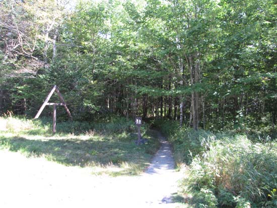
The Appalachian Trail trailhead

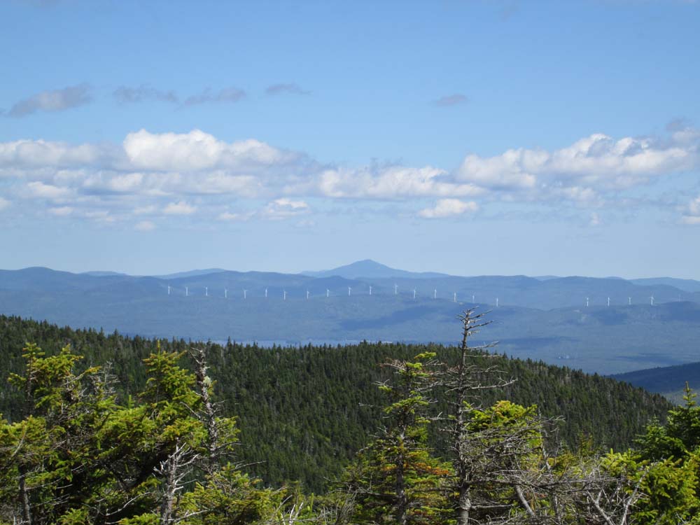
Looking east toward Mt. Blue from near the summit of West Baldpate
Ascending East Baldpate
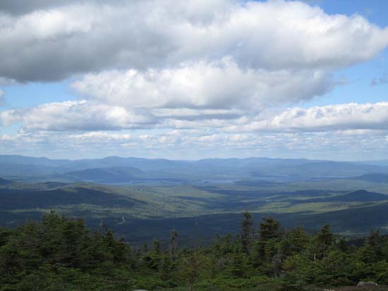
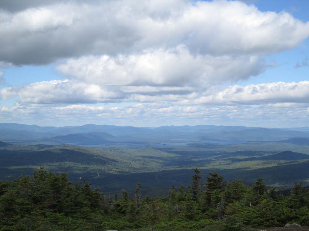
Looking northwest at Lake Umbagog from East Baldpate
Directions to trailhead: Take US 2 East to Route 26 North into Grafton Notch. The hiker parking area is just below The Eyebrow. The Appalachian Trail departs northbound across Route 26. There may be a parking fee.
Back to Baldpate Mountain - West Peak Profile
Back to Baldpate Mountain - East Peak Profile
|