Home
States
Colorado
Connecticut
Maine
Massachusetts
New Hampshire
New York
Rhode Island
Utah
Vermont
View All
Lists
NE 4,000 Footers
NE 100 Highest
NH 4,000 Footers
NH 100 Highest
NH 52 With A View
NH Belknap Range
NH Ossipee 10
Links
Trail Conditions
Trip Log
Sunrises
Sunsets
About
|
Beech Hill
Rockport, ME
Trailheads, measurements, times, distances, and maps are all approximate and relative to the hike(s) as shown below.
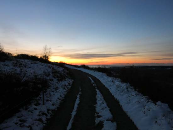
The Beech Hill carriage road
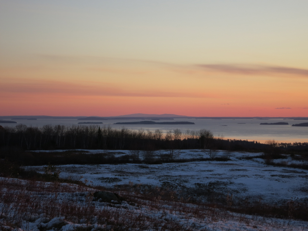
Trail had a dusting of snow in places, as well as occasional avoidable patches of black ice. Cold wind on top, but nice sunrise.
| Hike Ratings |
|
Getting To Trailhead: |
Easy |
| Destination: |
Beech Hill |
|
Length: |
Easy |
|
Steepness: |
Easy |
|
Navigation: |
Easy |
|
Views: |
Excellent |
|
Crowds: |
Minimal |
|
| Hike Stats |
|
Date Hiked: |
Sunday, November 16, 2014 |
| Parking Elevation: |
370' |
| Destination: |
Beech Hill |
| Time Elapsed: |
00:08 |
| Trailhead Elevation: |
370' |
| Summit Elevation: |
533' |
| Vertical Gain: |
163' |
|
|
| Hike Time Elapsed: |
00:44 |
| Hike Vertical Gain: |
163' |
|

The trailhead off Beech Hill Road

The sunrise from Beech Hill
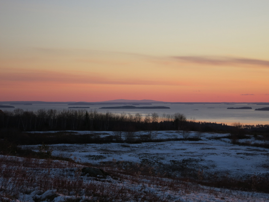
Looking at Acadia from Beech Hill
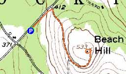

Directions to trailhead: From US 1 south of Rockport, take Beech Street west. Just prior to the South Street junction, there will be a parking lot on the right. The trailhead will be on the left side of the parking lot.
Back to Beech Hill Profile
|