Home
States
Colorado
Connecticut
Maine
Massachusetts
New Hampshire
New York
Rhode Island
Utah
Vermont
View All
Lists
NE 4,000 Footers
NE 100 Highest
NH 4,000 Footers
NH 100 Highest
NH 52 With A View
NH Belknap Range
NH Ossipee 10
Links
Trail Conditions
Trip Log
Sunrises
Sunsets
About
|
Beech Mountain
Mount Desert, ME
Trailheads, measurements, times, distances, and maps are all approximate and relative to the hike(s) as shown below.

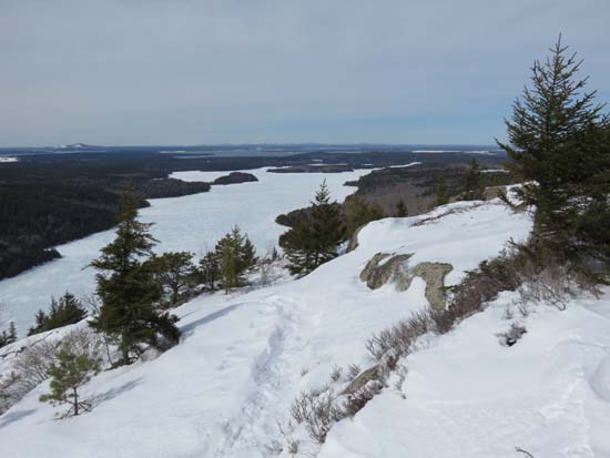
Looking down the Beech Mountain Loop at Long Pond
Route: Beech Hill Road, Beech Mountain Loop
Brief roadwalk was awkward due to barebooters beating up snowshoe and ski tracks.
Beech Mountain Loop Trail was especially beat up by barebooters due to the open areas higher up. Soft enough that, even with the postholes, snowshoes were still a good idea. More direct Beech Mountain Trail wasn't quite as beaten up for the descent. Fire tower top deck was locked, but still decent views from the stairs and the ground.
Probably 18-24" of snowpack with deeper drifts.
| Hike Ratings |
|
Getting To Trailhead: |
Easy |
| Destination: |
Beech Mountain |
|
Length: |
Easy |
|
Steepness: |
Moderate |
|
Navigation: |
Easy |
|
Views: |
Excellent |
|
Crowds: |
Moderate |
|
| Hike Stats |
|
Date Hiked: |
Friday, March 20, 2015 |
| Parking Elevation: |
360' |
| Time to Trailhead: |
00:06 |
| Destination: |
Beech Mountain |
| Time Elapsed: |
00:16 |
| Trailhead Elevation: |
500' |
| Summit Elevation: |
839' |
| Vertical Gain: |
359' |
|
|
| Hike Time Elapsed: |
00:38 |
| Hike Vertical Gain: |
449' |
|

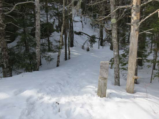
The Beech Mountain Loop trailhead at the end of Beech Hill Road

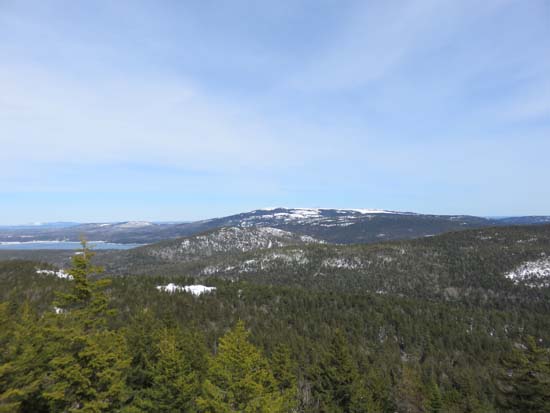
Looking northeast at Sargent and Cadillac from the Beech Mountain fire tower
Directions to trailhead: Take Route 102 to Beech Hill Road. The trailhead and parking area are at the end of the road. In winter, the road is plowed to within a few tenths of a mile of the summer parking lot. There may be limited room to park at the end of the plowed portion of the road.
Back to Beech Mountain Profile
|