Home
States
Colorado
Connecticut
Maine
Massachusetts
New Hampshire
New York
Rhode Island
Utah
Vermont
View All
Lists
NE 4,000 Footers
NE 100 Highest
NH 4,000 Footers
NH 100 Highest
NH 52 With A View
NH Belknap Range
NH Ossipee 10
Links
Trail Conditions
Trip Log
Sunrises
Sunsets
About
|
Cameron Mountain
Lincolnville, ME
Trailheads, measurements, times, distances, and maps are all approximate and relative to the hike(s) as shown below.
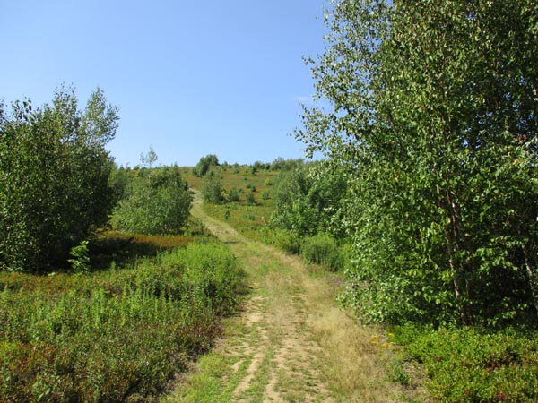
The Cameron Mountain Trail
Route: Ski Lodge Trail, Cameron Mountain Trail
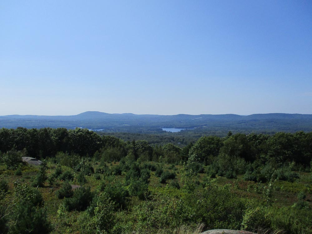
Trails were mostly dry. Very gradual road walk most of the way with a slight gain on the final ascent to the summit. Very nice summit with panoramic views at the moment (blueberry fields; if not brushed soon, things could grow quickly). There is a more direct trail from the upper winery parking lot.
| Hike Ratings |
|
Getting To Trailhead: |
Easy |
| Destination: |
Cameron Mountain |
|
Length: |
Moderate |
|
Steepness: |
Easy |
|
Navigation: |
Easy |
|
Views: |
Excellent |
|
Crowds: |
Moderate |
|
| Hike Stats |
|
Date Hiked: |
Sunday, August 26, 2018 |
| Parking Elevation: |
260' |
| Destination: |
Cameron Mountain |
| Time Elapsed: |
00:49 |
| Trailhead Elevation: |
260' |
| Summit Elevation: |
811' |
| Vertical Gain: |
621' |
|
|
| Hike Time Elapsed: |
02:00 |
| Hike Vertical Gain: |
671' |
|
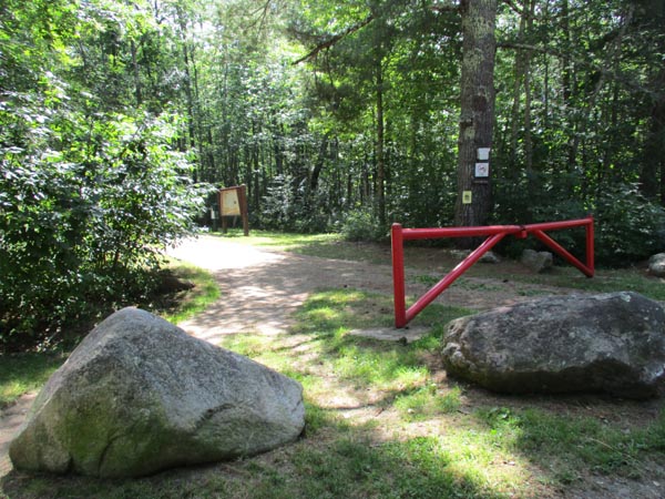
The Ski Lodge Trail trailhead
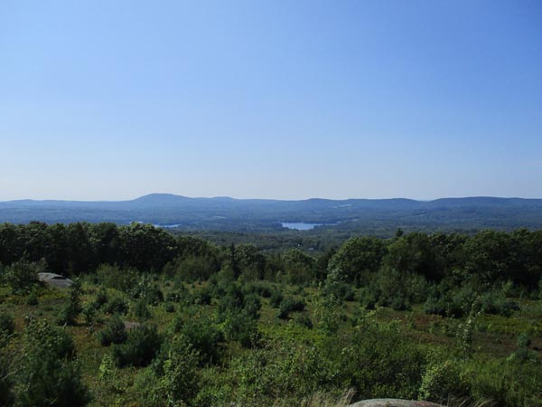
Looking northwest from Cameron Mountain
Directions to trailhead: From Route 52 in Camden, take Youngtown Road east. The Ski Lodge Trail fee parking area ($3 in 2012) is on the right, just before the Route 173 junction.
Back to Cameron Mountain Profile
|