Home
States
Colorado
Connecticut
Maine
Massachusetts
New Hampshire
New York
Rhode Island
Utah
Vermont
View All
Lists
NE 4,000 Footers
NE 100 Highest
NH 4,000 Footers
NH 100 Highest
NH 52 With A View
NH Belknap Range
NH Ossipee 10
Links
Trail Conditions
Trip Log
Sunrises
Sunsets
About
|
Caribou Mountain
Batchelders Grant, ME, Mason, ME
Trailheads, measurements, times, distances, and maps are all approximate and relative to the hike(s) as shown below.
Looking down the Mud Brook Trail on the way to the Caribou Mountain summit
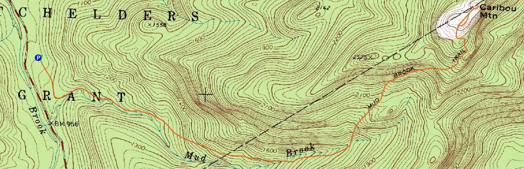
Route: Mud Brook Trail, (Caribou Mountain), Mud Brook Trail
While the advanced forecast was great, thunderstorms were added to it the day of. Thus, I decided to stay at a lower elevation and head up Evans Notch. While temperatures were hovering around 80 in the Conway area, it was a cooler 71 degrees at the Caribou Mountain trailhead.
Having previously done the loop and not liking the relatively long walk out on the Caribou Trail, I opted to do an out and back on the Mud Brook Trail.
Other than some mud pits and puddles, the trail was generally dry. The bugs were fortunately not too bad if one kept moving.
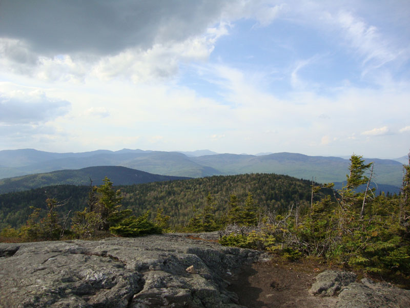
While the views to the west were fairly weak due to storm clouds, the other directions were quite nice.
On the way back, I followed some herd paths on the east side of the Mud Brook Trail and found some nice additional vistas looking into the wilderness.
| Hike Ratings |
|
Getting To Trailhead: |
Moderate |
| Destination: |
Caribou Mountain |
|
Length: |
Moderate |
|
Steepness: |
Difficult |
|
Navigation: |
Moderate |
|
Views: |
Excellent |
|
Crowds: |
Minimal |
|
| Hike Stats |
|
Date Hiked: |
Thursday, May 20, 2010 |
| Hike Commenced: |
4:08 PM |
| Parking Elevation: |
935' |
| Destination: |
Caribou Mountain |
| Ascent Commenced: |
4:08 PM |
| Summit Reached: |
5:29 PM |
| Time Elapsed: |
01:21 |
| Trailhead Elevation: |
935' |
| Summit Elevation: |
2,840' |
| Distance: |
3 miles |
| Vertical Gain: |
2,025' |
|
|
| Hike Ended: |
6:57 PM |
| Hike Time Elapsed: |
02:49 |
| Hike Distance: |
6 miles |
| Hike Vertical Gain: |
2,145' |
|
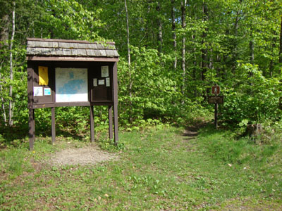
The Mud Brook Trail trailhead
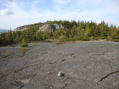
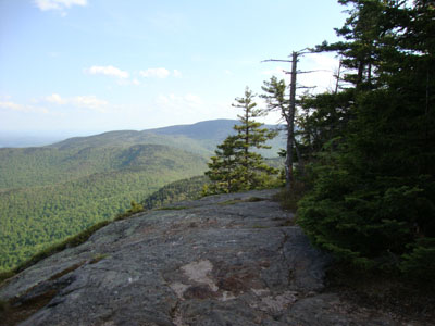
Looking up the Mud Brook Trail at the Caribou Mountain summit

Looking north at Old Speck Mountain from Caribou Mountain
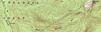

Directions to trailhead: From US 302, take Maine 113 North into Evans Notch. The Caribou WMNF parking area access road will eventually be on the right.
Back to Caribou Mountain Profile
|