Home
States
Colorado
Connecticut
Maine
Massachusetts
New Hampshire
New York
Rhode Island
Utah
Vermont
View All
Lists
NE 4,000 Footers
NE 100 Highest
NH 4,000 Footers
NH 100 Highest
NH 52 With A View
NH Belknap Range
NH Ossipee 10
Links
Trail Conditions
Trip Log
Sunrises
Sunsets
About
|
Caribou Mountain
Mason, ME
Trailheads, measurements, times, distances, and maps are all approximate and relative to the hike(s) as shown below.
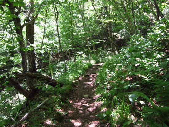
Looking up the Caribou Trail
Route: Caribou Trail, Mud Brook Trail
Bethel side of Caribou Mountain.
First portion of the trail was a grass road walk. Thereafter, the trail was progressively less roady. Mud patches were frequent. Poles helped with balancing acts on rocks/stumps/logs to get by them.
Surprisingly, not a single person on any of the summit ledges at noontime under blue skies. Just as I sat down to perhaps have a snack, I realized why - there were black flies and they had decided I was the snack.
| Hike Ratings |
|
Getting To Trailhead: |
Easy |
| Destination: |
Caribou Mountain |
|
Length: |
Moderate |
|
Steepness: |
Difficult |
|
Navigation: |
Moderate |
|
Views: |
Excellent |
|
Crowds: |
Minimal |
|
| Hike Stats |
|
Date Hiked: |
Sunday, June 10, 2012 |
| Parking Elevation: |
860' |
| Destination: |
Caribou Mountain |
| Time Elapsed: |
01:20 |
| Trailhead Elevation: |
860' |
| Summit Elevation: |
2,840' |
| Distance: |
3 miles |
| Vertical Gain: |
2,180' |
|
|
| Hike Time Elapsed: |
02:55 |
| Hike Distance: |
6 miles |
| Hike Vertical Gain: |
2,380' |
|
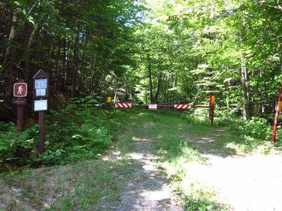
The Caribou Trail trailhead
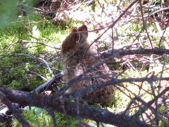
A baby bunny near the summit of Caribou Mountain

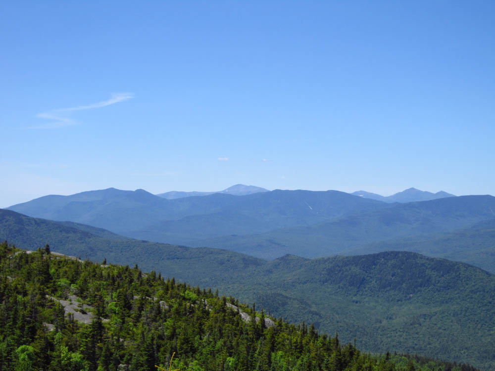
Looking at the Presidentials from Caribou Mountain
Directions to trailhead: From US 2, in West Bethel, take Bog Road south. The Caribou Trail trailhead will be at the end of the road at a USFS gate.
Back to Caribou Mountain Profile
|