Home
States
Colorado
Connecticut
Maine
Massachusetts
New Hampshire
New York
Rhode Island
Utah
Vermont
View All
Lists
NE 4,000 Footers
NE 100 Highest
NH 4,000 Footers
NH 100 Highest
NH 52 With A View
NH Belknap Range
NH Ossipee 10
Links
Trail Conditions
Trip Log
Sunrises
Sunsets
About
|
Crocker Mountain, South Crocker Mountain, Mt. Redington
Carrabasset Valley, ME, Redington, ME
Trailheads, measurements, times, distances, and maps are all approximate and relative to the hike(s) as shown below.
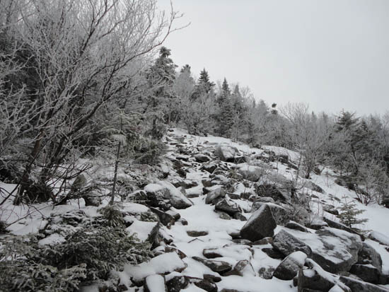
The Appalchian Trail on the way up to the Crockers
Route: Caribou Valley Road, Appalachian Trail, (Crocker Mountain), Appalachian Trail, spur path, (South Crocker Mountain), herd path, logging road, herd path, (Mt. Redington), herd path, various logging roads, Caribou Valley Road
Not wanting to do the entire Caribou Valley Road walk, or a long out-and-back on the Appalachian Trail, I headed up to Carrabasset Valley the afternoon before and did some investigating. While I had found a relatively short bushwhack to access the road further up, it involved crossing the not-fully-frozen South Branch of the Carrabasset River. While looking around, I stumbled upon a golf cart bridge over the river.
Thusly, the next morning we found a place to park near the bridge (not blocking the road or access to a pump house), put on our snowshoes, and headed across the bridge and up the golf cart road, reaching the tee for the 11th hole of the golf course soon thereafter.
Twenty minutes of moderate bushwhacking (generally hardwood saplings, one small stream crossing) later, we popped out onto the Caribou Valley Road (packed by snowmobiles) at mile marker 3. About 30 minutes later, we reached the easy-to-miss Appalachian Trail crossing, a grand total of an hour from where we parked.
After a warm up and subsequent freeze, the Appalachian Trail was very firm, resulting in fairly easy going, though the open area above the cirque was rocky and icy. Skipping the South Crocker spur, we headed straight to Crocker proper, from where we had no views due to the weather.
After reclimbing out of the steep col, we headed to South Crocker, where we were pleased to see the viewpoint had been recently recleared. Unfortunately, the windy, snowy conditions allowed for no views.
From there, we attempted to follow the herd path to Redington. While relatively easy to follow in the summer if watching the worn footbed, 2 feet of snow made it almost impossible to follow. While we had it at the boundary cut and just beyond it, we lost it soon thereafter. Nonetheless, we were able to find some reasonable woods (in between a few thick places) and eventually popped out at the old clearcut (that the herd path crosses).
At the far end of the clearcut, we hit a packed snowmobile path (logging road in summer) and followed it up to the height of land. From there, we followed the herd path where we could, but found it pretty rough going due to the 2 feet of snow pushing us into the spruce branches.
Eventually reaching the ATV path from the CVR higher up, we followed snowshoe tracks to the summit, from where we once again had no views due to the weather.
Though the lowest summit of the day, Redington and the col before it were also the coldest, windiest parts of the day. Thusly, we didn't linger for long (though we wasted a minute or two unsuccessfully attempting to open the summit canister). Though monotonous, the ATV road-logging road-Caribou Valley Road exit seemed straightforward and a bit more appealing than reclimbing South Crocker and descending back toward the cirque.
Upon reaching the end of the ATV path and reaching more of a logging road proper, we reached old snowmobile tracks (and lots of bare spots). Once back on Caribou Valley Road, we put our heads down and walked the seemingly endless road to our point of entry from the bushwhack, then retraced our steps back to where we parked.
| Hike Ratings |
|
Getting To Trailhead: |
Difficult |
| Destination: |
Crocker Mountain |
|
Length: |
Difficult |
|
Steepness: |
Difficult |
|
Navigation: |
Easy |
|
Views: |
Minimal (due to weather) |
|
Crowds: |
Minimal |
| Destination: |
South Crocker Mountain |
|
Length: |
Difficult |
|
Steepness: |
Difficult |
|
Navigation: |
Easy |
|
Views: |
Minimal (due to weather) |
|
Crowds: |
Minimal |
| Destination: |
Mt. Redington |
|
Length: |
Very Difficult |
|
Steepness: |
Moderate |
|
Navigation: |
Difficult |
|
Views: |
Minimal (due to weather) |
|
Crowds: |
Minimal |
|
| Hike Stats |
|
Date Hiked: |
Sunday, January 9, 2011 |
| Hike Commenced: |
7:29 AM |
| Parking Elevation: |
1,600' |
| Destination: |
Crocker Mountain |
| Ascent Commenced: |
8:28 AM |
| Summit Reached: |
10:35 AM |
| Time Elapsed: |
02:07 |
| Trailhead Elevation: |
2,220' |
| Summit Elevation: |
4,228' |
| Distance: |
3.1 miles |
| Vertical Gain: |
2,378' |
| Destination: |
South Crocker Mountain |
| Ascent Commenced: |
10:37 AM |
| Summit Reached: |
11:13 AM |
| Time Elapsed: |
00:36 |
| Trailhead Elevation: |
4,228' |
| Summit Elevation: |
4,050' |
| Distance: |
1 mile |
| Vertical Gain: |
380' |
| Destination: |
Mt. Redington |
| Ascent Commenced: |
11:15 AM |
| Summit Reached: |
12:39 PM |
| Time Elapsed: |
01:24 |
| Trailhead Elevation: |
4,050' |
| Summit Elevation: |
4,010' |
| Vertical Gain: |
680' |
|
|
| Hike Ended: |
3:35 PM |
| Hike Time Elapsed: |
08:06 |
| Hike Vertical Gain: |
4,258' |
|
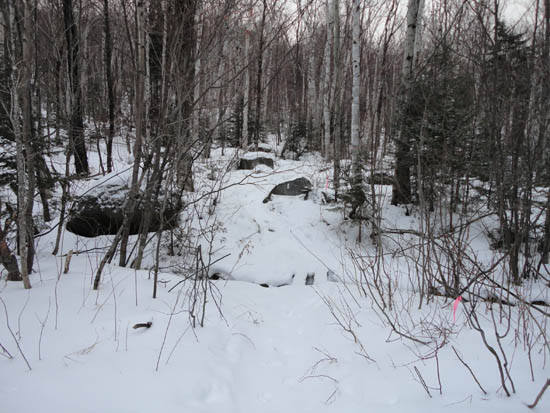
The Appalachian Trail crossing on Caribou Valley Road
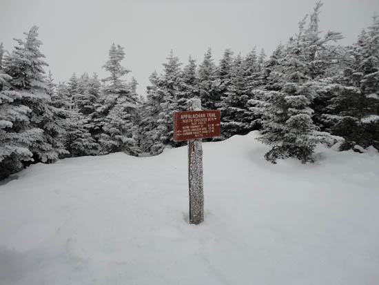
No views in light snow flurries on Crocker Mountain
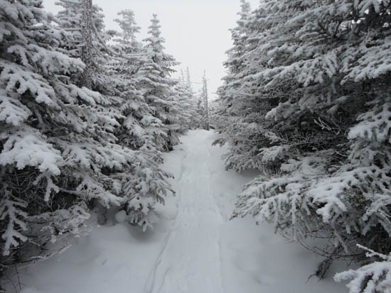
The Appalachian Trail between the Crockers
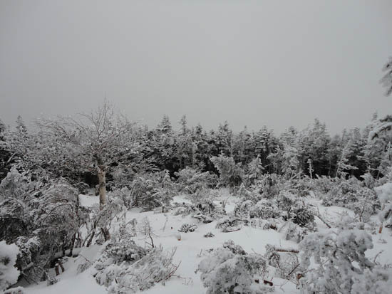
No views in light snow flurries on South Crocker Mountain
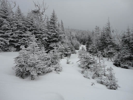
The logged area crossed via the herd path to Mt. Redington
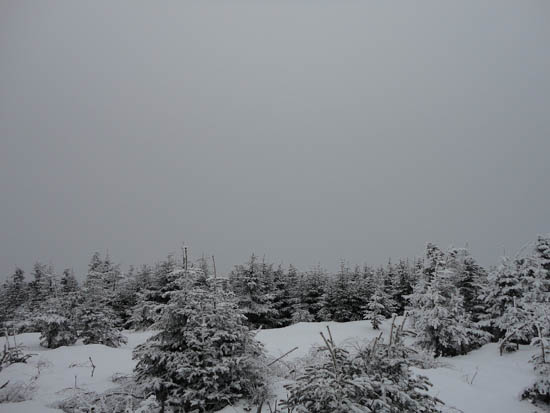
No views in light snow flurries from the Mt. Redington viewpoint
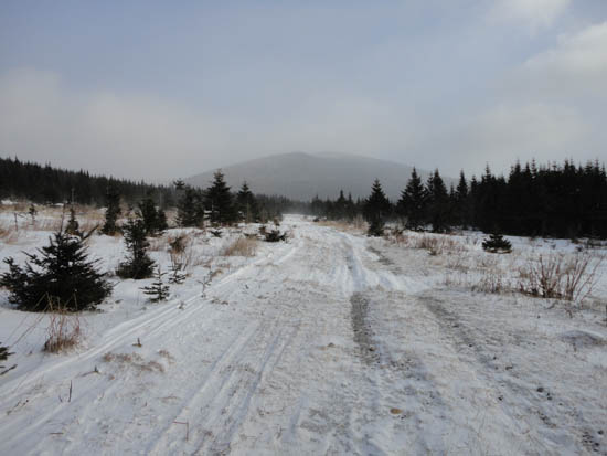
Heading down a logging road below Mt. Redington
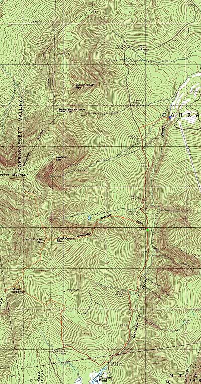

Directions to trailhead: In winter, Caribou Valley Road-Caribou Pond Road tend to be closed to vehicular traffic, though room to park is sometimes plowed off Route 16. The Appalachian Trail parking lot on Route 16 may also not be plowed. Via bushwhacking, one may attempt to access Caribou Valley Road from the Sugarloaf golf course, using the golf cart bridge (on foot) over the river crossing near hole 11. There may be room to park near this bridge. Otherwise, there is room to park near the clubhouse and West Mountain chairlift (the steep, narrow road to the footbridge is located adjacent to the clubhouse).
Back to Crocker Mountain Profile
Back to South Crocker Mountain Profile
Back to Mt. Redington Profile
|