Home
States
Colorado
Connecticut
Maine
Massachusetts
New Hampshire
New York
Rhode Island
Utah
Vermont
View All
Lists
NE 4,000 Footers
NE 100 Highest
NH 4,000 Footers
NH 100 Highest
NH 52 With A View
NH Belknap Range
NH Ossipee 10
Links
Trail Conditions
Trip Log
Sunrises
Sunsets
About
|
Day Mountain
Mount Desert, ME
Trailheads, measurements, times, distances, and maps are all approximate and relative to the hike(s) as shown below.
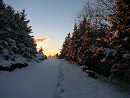
Ascending the Day Mountain carriage road
Route: Day Mountain Trail, carriage road
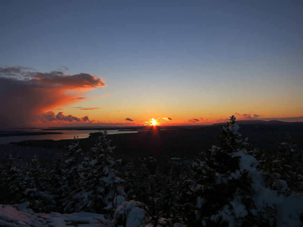
Acadia picked up a good 3" of snow Thursday night and Friday day, resulting in early winter conditions. Day Mountain was bootable, especially when bypassing any tricky parts of the southern side via the carriage road. Nice directional views at and near the summit.
| Hike Ratings |
|
Getting To Trailhead: |
Easy |
| Destination: |
Day Mountain |
|
Length: |
Moderate |
|
Steepness: |
Moderate |
|
Navigation: |
Easy |
|
Views: |
Excellent |
|
Crowds: |
Minimal |
|
| Hike Stats |
|
Date Hiked: |
Friday, November 14, 2014 |
| Parking Elevation: |
250' |
| Destination: |
Day Mountain |
| Time Elapsed: |
00:27 |
| Trailhead Elevation: |
250' |
| Summit Elevation: |
583' |
| Vertical Gain: |
333' |
|
|
| Hike Time Elapsed: |
01:08 |
| Hike Vertical Gain: |
333' |
|

The Day Mountain Trail trailhead on Route 3
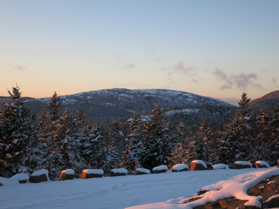
Looking at Penobscot Mountain from Day Mountain
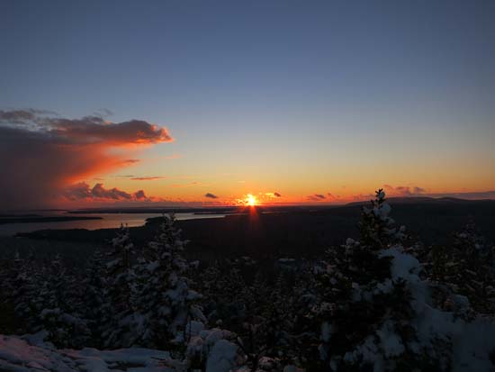
The sunset from Day Mountain
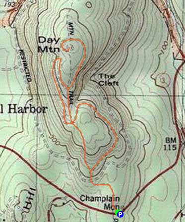

Directions to trailhead: From Seal Harbor, take Route 3 toward Bar Harbor. At a height of land soon thereafter, there will be a parking lot on the right. The Day Mountain Trail trailhead will be on the left.
Back to Day Mountain Profile
|