Home
States
Colorado
Connecticut
Maine
Massachusetts
New Hampshire
New York
Rhode Island
Utah
Vermont
View All
Lists
NE 4,000 Footers
NE 100 Highest
NH 4,000 Footers
NH 100 Highest
NH 52 With A View
NH Belknap Range
NH Ossipee 10
Links
Trail Conditions
Trip Log
Sunrises
Sunsets
About
|
Eagles Crag
Mount Desert, ME
Trailheads, measurements, times, distances, and maps are all approximate and relative to the hike(s) as shown below.
The Cadillac South Ridge Trail
Route: Cadillac South Ridge Trail, Eagles Crag Loop Trail
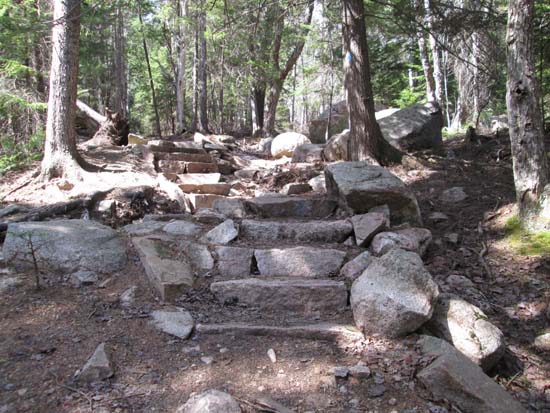
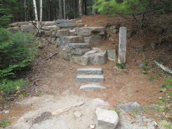
Trails were mostly dry and in good shape. Nice views from the Eagles Crag eastern facing cliff (highpoint is wooded, just off trail). Also some ledge views north of the northern loop junction.
| Hike Ratings |
|
Getting To Trailhead: |
Easy |
| Destination: |
Eagles Crag |
|
Length: |
Moderate |
|
Steepness: |
Moderate |
|
Navigation: |
Easy |
|
Views: |
Excellent |
|
Crowds: |
Moderate |
|
| Hike Stats |
|
Date Hiked: |
Saturday, May 16, 2015 |
| Parking Elevation: |
185' |
| Destination: |
Eagles Crag |
| Time Elapsed: |
00:39 |
| Trailhead Elevation: |
185' |
| Summit Elevation: |
702' |
| Vertical Gain: |
537' |
|
|
| Hike Time Elapsed: |
01:49 |
| Hike Vertical Gain: |
537' |
|
The Cadillac South Ridge Trail trailhead off Route 3
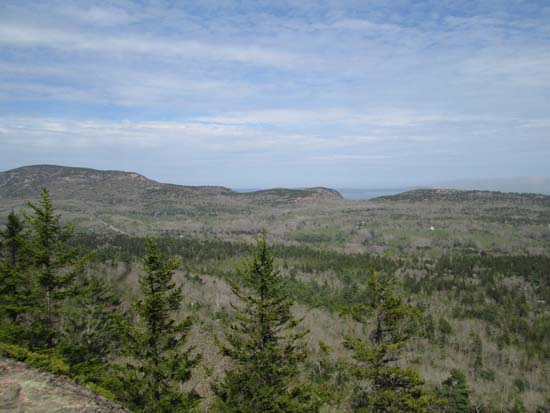
Looking toward Champlain Ridge and The Beehive from Eagles Crag
Directions to trailhead: The Cadillac South Ridge Trail crosses Route 3 and has roadside parking.
Back to Eagles Crag Profile
|

