Home
States
Colorado
Connecticut
Maine
Massachusetts
New Hampshire
New York
Rhode Island
Utah
Vermont
View All
Lists
NE 4,000 Footers
NE 100 Highest
NH 4,000 Footers
NH 100 Highest
NH 52 With A View
NH Belknap Range
NH Ossipee 10
Links
Trail Conditions
Trip Log
Sunrises
Sunsets
About
|
Flying Mountain, Acadia Mountain, St. Sauveur Mountain
Southwest Harbor, ME, Mount Desert, ME
Trailheads, measurements, times, distances, and maps are all approximate and relative to the hike(s) as shown below.
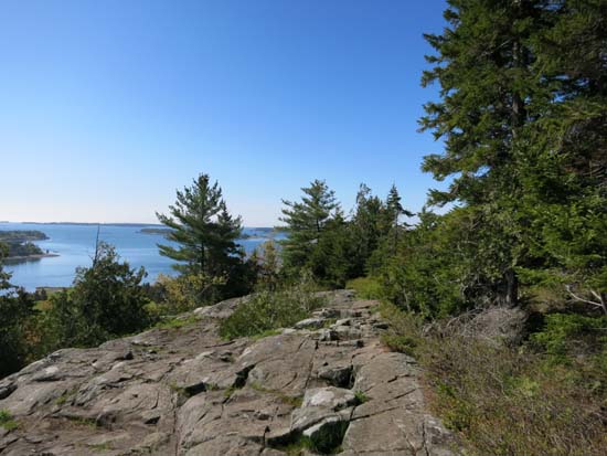
Looking down the Flying Mountain Trail
Route: Flying Mountain Trail, (Flying Mountain), Flying Mountain Trail, Valley Cove Road, St. Sauveur Trail, Valley Peak Trail, Acadia Mountain Trail, (Acadia Mountain), Acadia Mountain Trail, St. Sauveur Trail, Valley Cove Road
Trails were mostly dry and in good shape.
Started off going over Flying Mountain, which was a short but somewhat steep ascent. Nice views from the summit ledges. Steep drop down to Valley Cove.
I had hoped to hike along the Valley Cove Trail, however it was closed for falcon nesting season, so I was forced to take Valley Cove Road (gated fire road) back, then head up the St. Sauveur Trail up over Valley Peak (not really a peak, and trail doesn't go to the high point), then along the east cliffs of Sauveur (fantastic views), then steeply down the north side of the Valley Peak Trail to the col.
The eastern side of the Acadia Mountain Trail was fantastic with lots of views and some ledge scrambles. The west side of the trail was a little less rugged and scenic, but still neat. Acadia Mountain on its own would be a worthy hike.
The St. Sauveur portion of the hike wasn't terribly scenic, but the Valley Peak area views on the way back down were still great.
| Hike Ratings |
|
Getting To Trailhead: |
Easy |
| Destination: |
Flying Mountain |
|
Length: |
Easy |
|
Steepness: |
Difficult |
|
Navigation: |
Easy |
|
Views: |
Excellent |
|
Crowds: |
Moderate |
| Destination: |
Acadia Mountain |
|
Length: |
Moderate |
|
Steepness: |
Very Difficult |
|
Navigation: |
Easy |
|
Views: |
Excellent |
|
Crowds: |
Moderate |
| Destination: |
St. Sauveur Mountain |
|
Length: |
Moderate |
|
Steepness: |
Moderate |
|
Navigation: |
Easy |
|
Views: |
Excellent |
|
Crowds: |
Moderate |
|
| Hike Stats |
|
Date Hiked: |
Saturday, May 31, 2014 |
| Parking Elevation: |
40' |
| Destination: |
Flying Mountain |
| Time Elapsed: |
00:08 |
| Trailhead Elevation: |
30' |
| Summit Elevation: |
284' |
| Distance: |
0.3 miles |
| Vertical Gain: |
264' |
| Destination: |
Acadia Mountain |
| Time Elapsed: |
01:26 |
| Trailhead Elevation: |
284' |
| Summit Elevation: |
681' |
| Vertical Gain: |
1,361' |
| Destination: |
St. Sauveur Mountain |
| Time Elapsed: |
00:37 |
| Trailhead Elevation: |
681' |
| Summit Elevation: |
690' |
| Distance: |
1.5 miles |
| Vertical Gain: |
620' |
|
|
| Hike Time Elapsed: |
02:40 |
| Hike Vertical Gain: |
2,275' |
|

The Flying Mountain Trail trailhead off Fernald Point Road

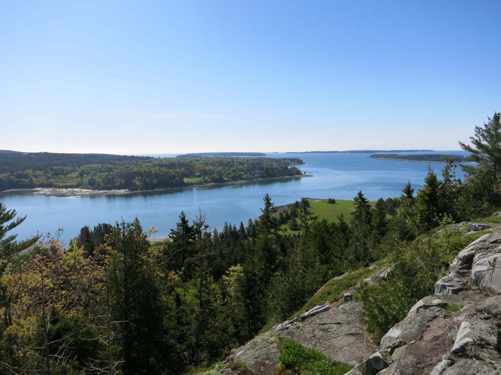
Looking southeast at the Narrows from Flying Mountain
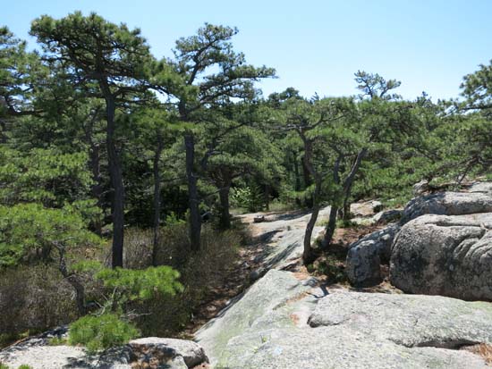
Looking up the Acadia Mountain Trail
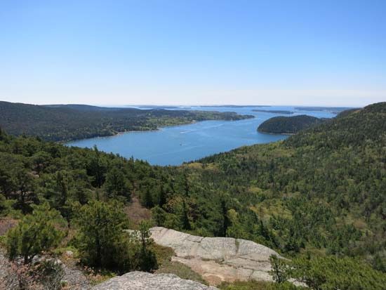
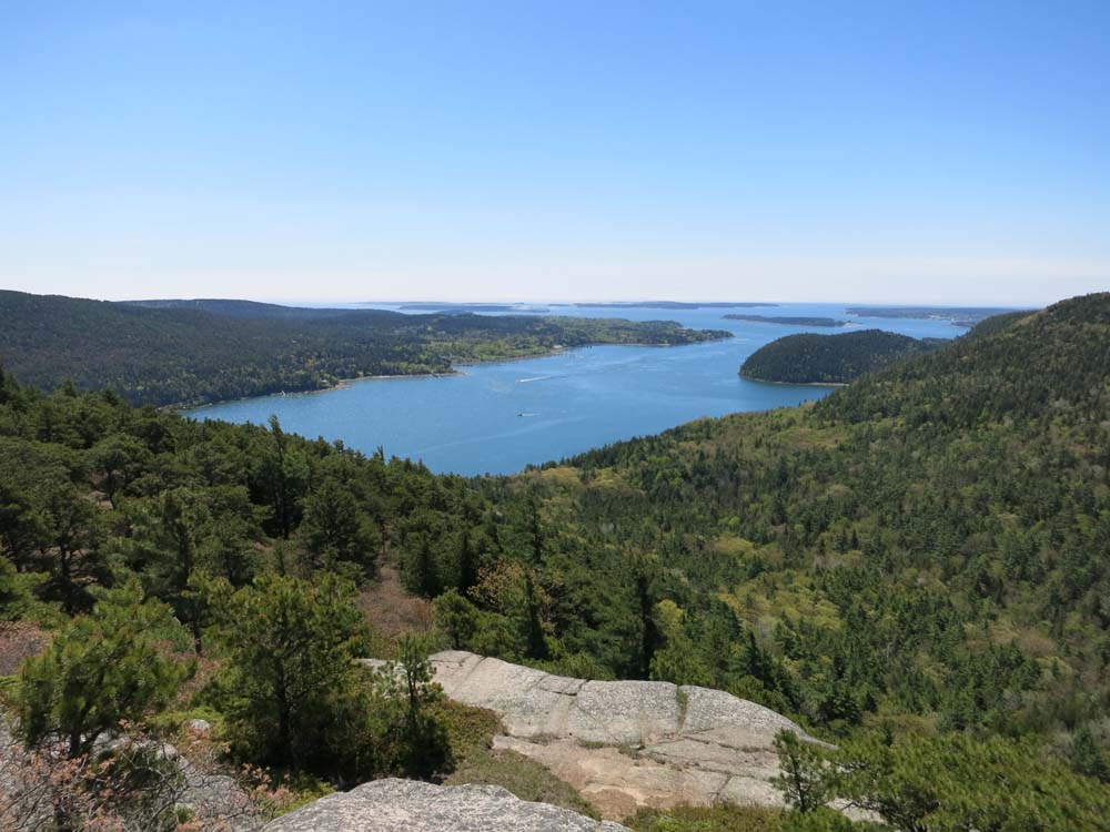
Looking at Somes Sound from Acadia Mountain
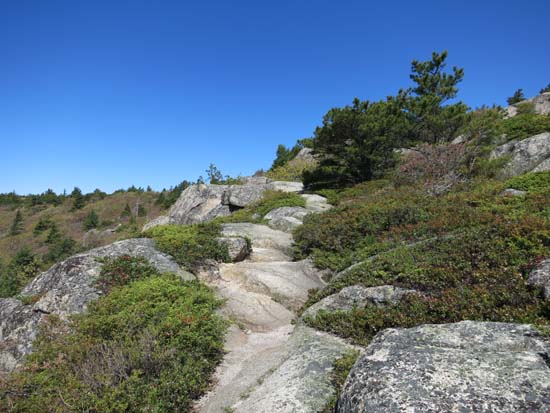
The St. Sauveur Trail on the way to St. Sauveur Mountain
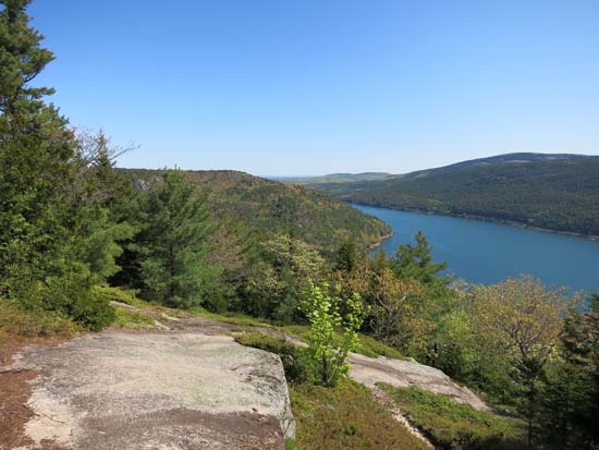
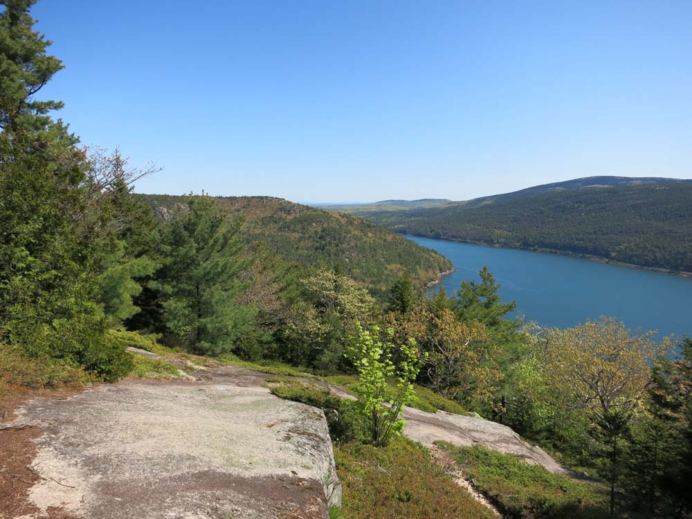
Looking northeast from the height of land on the Valley Peak Trail just east of the St. Sauveur highpoint
Directions to trailhead: From Southwest Harbor, take 102 North, then take a right onto Fernald Point Road. The Flying Mountain Trail trailhead and small parking area will soon be on the left.
Back to Flying Mountain Profile
Back to Acadia Mountain Profile
Back to St. Sauveur Mountain Profile
|