Home
States
Colorado
Connecticut
Maine
Massachusetts
New Hampshire
New York
Rhode Island
Utah
Vermont
View All
Lists
NE 4,000 Footers
NE 100 Highest
NH 4,000 Footers
NH 100 Highest
NH 52 With A View
NH Belknap Range
NH Ossipee 10
Links
Trail Conditions
Trip Log
Sunrises
Sunsets
About
|
French Mountain
Rome, ME
Trailheads, measurements, times, distances, and maps are all approximate and relative to the hike(s) as shown below.
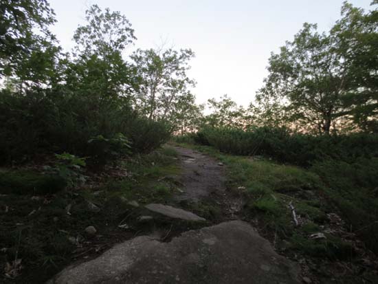
French's Mountain Trail near the ridge
Route: French's Mountain Trail
Trail was mostly dry and in good shape. Generally tame loop with a nice ridge walk on top with some directional views of the Great Pond area.
| Hike Ratings |
|
Getting To Trailhead: |
Easy |
| Destination: |
French Mountain |
|
Length: |
Easy |
|
Steepness: |
Easy |
|
Navigation: |
Easy |
|
Views: |
Excellent |
|
Crowds: |
Minimal |
|
| Hike Stats |
|
Date Hiked: |
Thursday, August 15, 2013 |
| Parking Elevation: |
500' |
| Destination: |
French Mountain |
| Time Elapsed: |
00:08 |
| Trailhead Elevation: |
500' |
| Summit Elevation: |
716' |
| Vertical Gain: |
256' |
|
|
| Hike Time Elapsed: |
00:15 |
| Hike Vertical Gain: |
286' |
|

French's Mountain Trail trailhead
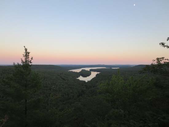
Looking at Long Pond from near the summit of French Mountain
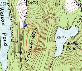

Directions to trailhead: Take Route 225 West from Rome. The Mt. Phillips Trail parking area and trailhead will eventually be on the right near a height of land, opposite a road on the left.
Back to French Mountain Profile
|

