Home
States
Colorado
Connecticut
Maine
Massachusetts
New Hampshire
New York
Rhode Island
Utah
Vermont
View All
Lists
NE 4,000 Footers
NE 100 Highest
NH 4,000 Footers
NH 100 Highest
NH 52 With A View
NH Belknap Range
NH Ossipee 10
Links
Trail Conditions
Trip Log
Sunrises
Sunsets
About
|
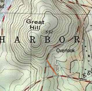
Great Hill
Bar Harbor, ME
Trailheads, measurements, times, distances, and maps are all approximate and relative to the hike(s) as shown below.
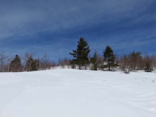
Ascending Great Hill
Route: Park Loop Road, bushwhack
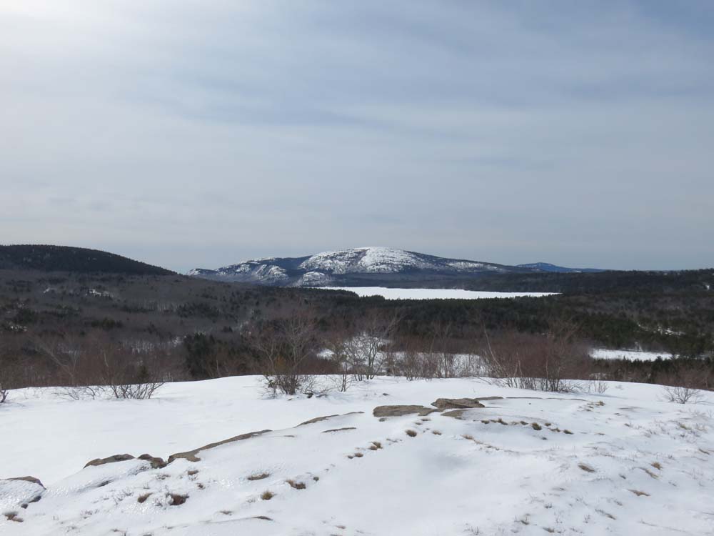
This one caught my eye from Cadillac, so I stopped by on my way to the other side of the island. From the junction of the entrance to Park Loop Road, I ascended the mostly open snow fields to the south summit, then followed some older snowshoe tracks through open woods to the summit, which also had good views (especially of Champlain, Cadillac, and Sargent). While there is no official trail on the maps for this peak, I suspect there could be something unofficial.
| Hike Ratings |
|
Getting To Trailhead: |
Moderate |
| Destination: |
Great Hill |
|
Length: |
Easy |
|
Steepness: |
Moderate |
|
Navigation: |
Difficult |
|
Views: |
Excellent |
|
Crowds: |
Minimal |
|
| Hike Stats |
|
Date Hiked: |
Friday, March 20, 2015 |
| Parking Elevation: |
300' |
| Time to Trailhead: |
00:03 |
| Destination: |
Great Hill |
| Time Elapsed: |
00:09 |
| Trailhead Elevation: |
360' |
| Summit Elevation: |
552' |
| Vertical Gain: |
212' |
|
|
| Hike Time Elapsed: |
00:21 |
| Hike Vertical Gain: |
292' |
|
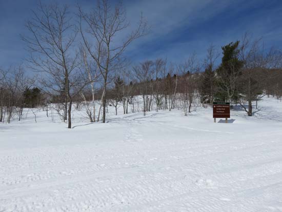
Departing Park Loop Road

Looking at Sargent Mountain from near the summit of Great Hill

Directions to trailhead: In winter, take Route 233 west from Bar Harbor. There is limited plowed room to park at the Park Loop Road entrance (this section of Park Loop Road is closed to automobiles in winter).
Back to Great Hill Profile
|