Home
States
Colorado
Connecticut
Maine
Massachusetts
New Hampshire
New York
Rhode Island
Utah
Vermont
View All
Lists
NE 4,000 Footers
NE 100 Highest
NH 4,000 Footers
NH 100 Highest
NH 52 With A View
NH Belknap Range
NH Ossipee 10
Links
Trail Conditions
Trip Log
Sunrises
Sunsets
About
|
Jockey Cap
Fryeburg, ME
Trailheads, measurements, times, distances, and maps are all approximate and relative to the hike(s) as shown below.
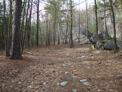
Looking up the Jockey Cap Trail
Route: Jockey Cap Trail
With limited time and good weather, I opted to take a quick walk up Jockey Cap. The trail was dry and snow free and the summit views excellent. Though not for long, there were no bugs to deal with.
| Hike Ratings |
|
Getting To Trailhead: |
Easy |
| Destination: |
Jockey Cap |
|
Length: |
Easy |
|
Steepness: |
Moderate |
|
Navigation: |
Easy |
|
Views: |
Excellent |
|
Crowds: |
Minimal |
|
| Hike Stats |
|
Date Hiked: |
Monday, April 12, 2010 |
| Hike Commenced: |
5:11 PM |
| Parking Elevation: |
425' |
| Destination: |
Jockey Cap |
| Ascent Commenced: |
5:11 PM |
| Summit Reached: |
5:18 PM |
| Time Elapsed: |
00:07 |
| Trailhead Elevation: |
425' |
| Summit Elevation: |
600' |
| Vertical Gain: |
175' |
|
|
| Hike Ended: |
5:33 PM |
| Hike Time Elapsed: |
00:22 |
| Hike Vertical Gain: |
175' |
|
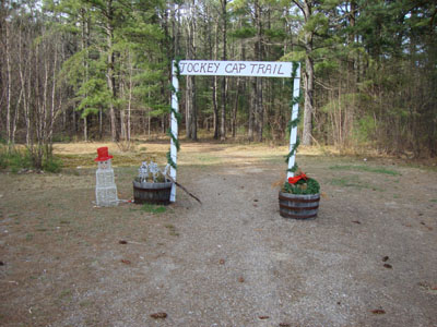
Jockey Cap Trail trailhead
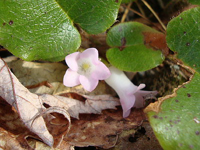
Trailing Arbutus as seen near the Jockey Cap Trail
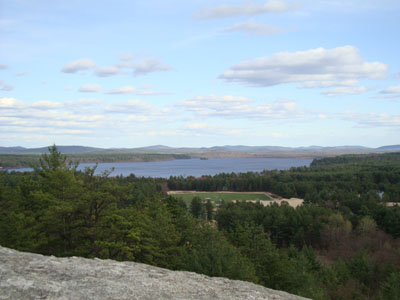
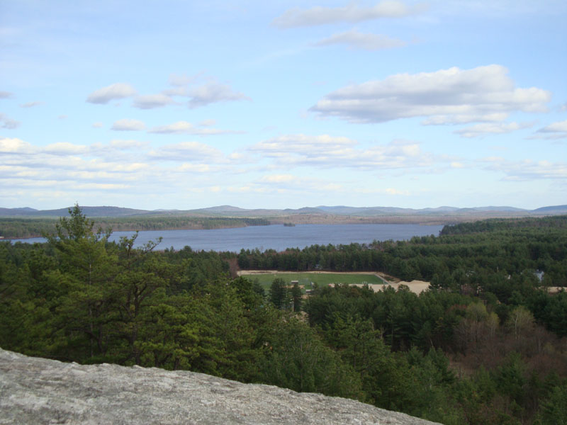
Lovewell Pond as seen from Jockey Cap
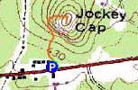

Directions to trailhead: Take US Route 302 East into Fryeburg. Just a bit after the village, the Jockey Cap Country Store and Motel will be on the left. At the furthest end of the parking lot near the motel, there's a sign for the Jockey Cap Trail. There are a few parking spaces labelled for the trail there.
Back to Jockey Cap Profile
|