Home
States
Colorado
Connecticut
Maine
Massachusetts
New Hampshire
New York
Rhode Island
Utah
Vermont
View All
Lists
NE 4,000 Footers
NE 100 Highest
NH 4,000 Footers
NH 100 Highest
NH 52 With A View
NH Belknap Range
NH Ossipee 10
Links
Trail Conditions
Trip Log
Sunrises
Sunsets
About
|
Mahoosuc Arm, ME
Success, NH, Riley, ME, Grafton, ME
Trailheads, measurements, times, distances, and maps are all approximate and relative to the hike(s) as shown below.
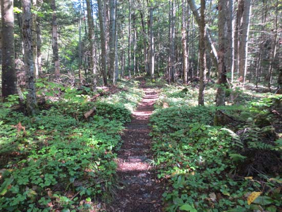
The Notch Trail
Route: Notch Trail, Mahoosuc Trail, May Cutoff, Speck Pond Trail
Notch Trail was fairly dry (though some bog bridges were slippery) and smooth sailing. Nicest footbed of the day.
Mahoosuc Trail through the notch was slippery, thanks in part to the overnight rain, as well as abundant moss, etc. Slow going, but not as difficult as I had thought it would be.
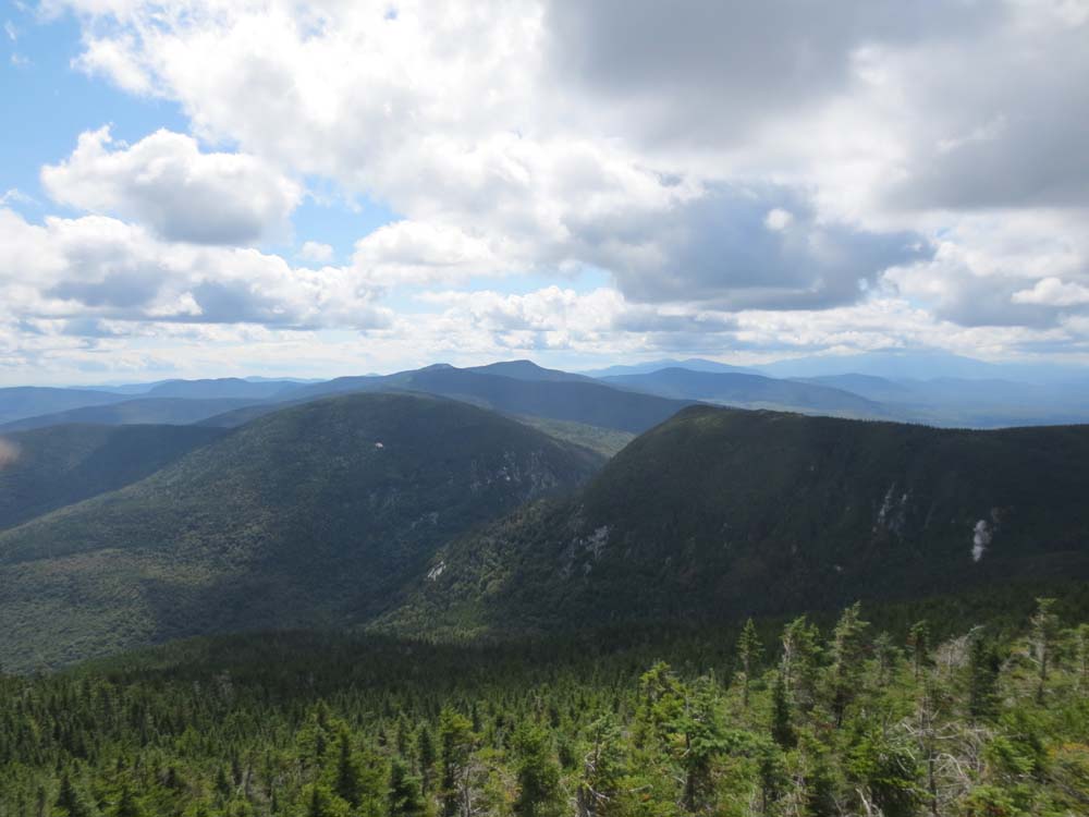
Lots of slippery ledge ascending up to the height of land near the Arm. Found a very nice view ledge just off the trail prior to the height of land.
One 50 foot section of flooded trail on the May Cutoff, maybe 3" deep.
Speck Pond Trail had lots of wet/slippery ledge up high, then a few areas of somewhat overgrown weeds in the logging cut.
| Hike Ratings |
|
Getting To Trailhead: |
Moderate |
| Destination: |
Mahoosuc Arm |
|
Length: |
Moderate |
|
Steepness: |
Very Difficult |
|
Navigation: |
Moderate |
|
Views: |
Excellent |
|
Crowds: |
Minimal |
|
| Hike Stats |
|
Date Hiked: |
Saturday, September 1, 2012 |
| Parking Elevation: |
1,650' |
| Destination: |
Mahoosuc Arm |
| Time Elapsed: |
04:12 |
| Trailhead Elevation: |
1,650' |
| Summit Elevation: |
3,765' |
| Vertical Gain: |
2,365' |
|
|
| Hike Time Elapsed: |
05:44 |
| Hike Vertical Gain: |
2,405' |
|
The Notch Trail trailhead
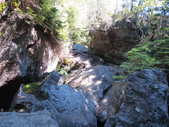
The Mahoosuc Trail in Mahoosuc Notch

Looking toward Mahoosuc Notch from Mahoosuc Arm
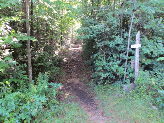
Directions to trailhead: Take Route 16 North from Gorham, NH. Take a right onto Route 16 Truck Route. Take a right onto a road with a brown OHRV sign (Success Pond Road). Head up this dirt road for some time, passing Alder Brook Road on the left. A few minutes thereafter, the Goose Eye Trail trailhead will be on the right (a logging road). A few minutes thereafter, the access road for the Notch Trail will be on the right. The Notch Trail trailhead will be at the end of this access road, with some room for parking.
Back to Mahoosuc Arm Profile
|