Home
States
Colorado
Connecticut
Maine
Massachusetts
New Hampshire
New York
Rhode Island
Utah
Vermont
View All
Lists
NE 4,000 Footers
NE 100 Highest
NH 4,000 Footers
NH 100 Highest
NH 52 With A View
NH Belknap Range
NH Ossipee 10
Links
Trail Conditions
Trip Log
Sunrises
Sunsets
About
|
Mt. Battie
Camden, ME
Trailheads, measurements, times, distances, and maps are all approximate and relative to the hike(s) as shown below.
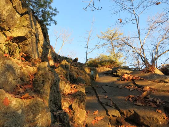
Looking up the Mt. Battie Trail
Route: Mt. Battie Trail
Trail was generally dry with a few minor patches of ice and snow. Fortunately the rugged section of the trail (including a scramble) was generally ice free.
| Hike Ratings |
|
Getting To Trailhead: |
Easy |
| Destination: |
Mt. Battie |
|
Length: |
Moderate |
|
Steepness: |
Difficult |
|
Navigation: |
Easy |
|
Views: |
Excellent |
|
Crowds: |
Moderate |
|
| Hike Stats |
|
Date Hiked: |
Saturday, November 15, 2014 |
| Parking Elevation: |
200' |
| Destination: |
Mt. Battie |
| Time Elapsed: |
00:15 |
| Trailhead Elevation: |
200' |
| Summit Elevation: |
800' |
| Vertical Gain: |
600' |
|
|
| Hike Time Elapsed: |
01:00 |
| Hike Vertical Gain: |
600' |
|
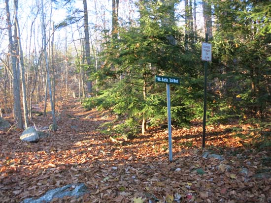
The Mt. Battie Trail trailhead

Looking at Camden from Mt. Battie
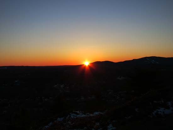
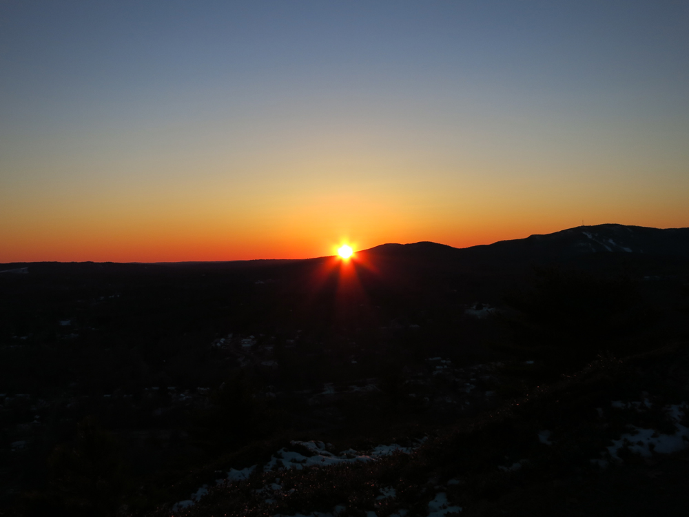
The sunset from Mt. Battie
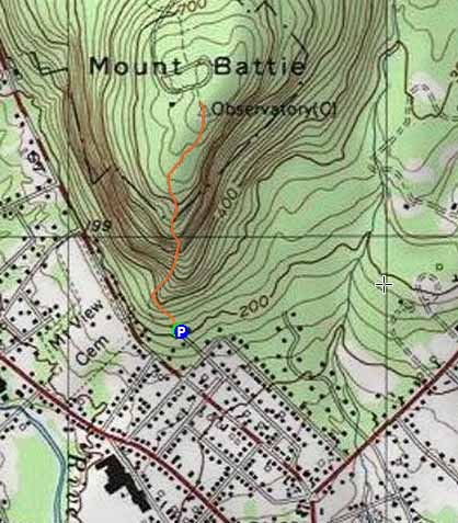

Directions to trailhead: There is a small parking lot at the top of Megunticook Street in Camden.
Back to Mt. Battie Profile
|