Home
States
Colorado
Connecticut
Maine
Massachusetts
New Hampshire
New York
Rhode Island
Utah
Vermont
View All
Lists
NE 4,000 Footers
NE 100 Highest
NH 4,000 Footers
NH 100 Highest
NH 52 With A View
NH Belknap Range
NH Ossipee 10
Links
Trail Conditions
Trip Log
Sunrises
Sunsets
About
|
Mt. Zircon
Rumford, ME, Milton, ME, Peru, ME
Trailheads, measurements, times, distances, and maps are all approximate and relative to the hike(s) as shown below.
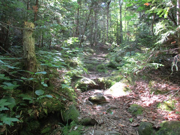
Looking up the Mt. Zircon Trail
Route: Mt. Zircon
The gated access road was fairly bland. Generally decent footing, except for some loose stuff were the ATVs join in.
The trail proper was mostly dry, but the ledges above the col would be pretty slippery if wet.
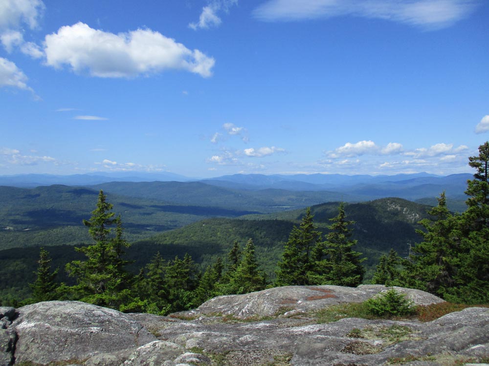
Multiple good viewpoints from the ledgy summit (old fire tower knocked over) and many blueberries.
| Hike Ratings |
|
Getting To Trailhead: |
Moderate |
| Destination: |
Mt. Zircon |
|
Length: |
Moderate |
|
Steepness: |
Difficult |
|
Navigation: |
Moderate |
|
Views: |
Excellent |
|
Crowds: |
Minimal |
|
| Hike Stats |
|
Date Hiked: |
Monday, August 12, 2019 |
| Parking Elevation: |
630' |
| Destination: |
Mt. Zircon |
| Time Elapsed: |
01:30 |
| Trailhead Elevation: |
640' |
| Summit Elevation: |
2,250' |
| Vertical Gain: |
1,620' |
|
|
| Hike Time Elapsed: |
04:00 |
| Hike Vertical Gain: |
1,630' |
|
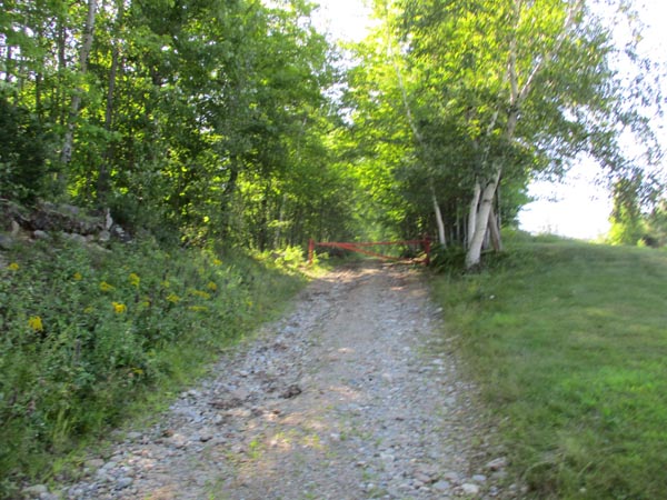
The start of the gated road
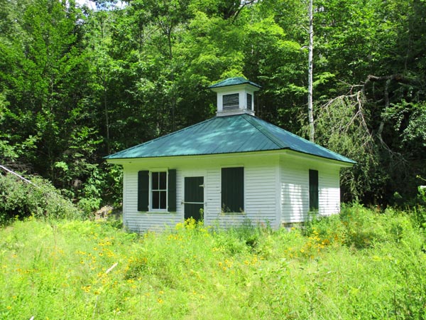
The spring house
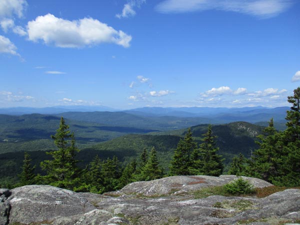
Looking west at the White Mountains and Mahoosuc Range from near the summit of Mt. Zircon
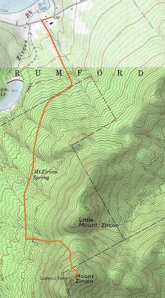

Directions to trailhead: From US 2 in Rumford, take South Rumford Road southwest. The gated road (look for a Tree Farm sign) to the Mt. Zircon Trail will be on the left, just after a small brook, but before Zircon Brook.
Back to Mt. Zircon Profile
|