Home
States
Colorado
Connecticut
Maine
Massachusetts
New Hampshire
New York
Rhode Island
Utah
Vermont
View All
Lists
NE 4,000 Footers
NE 100 Highest
NH 4,000 Footers
NH 100 Highest
NH 52 With A View
NH Belknap Range
NH Ossipee 10
Links
Trail Conditions
Trip Log
Sunrises
Sunsets
About
|
Norumbega Mountain
Mount Desert, ME
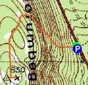
Trailheads, measurements, times, distances, and maps are all approximate and relative to the hike(s) as shown below.
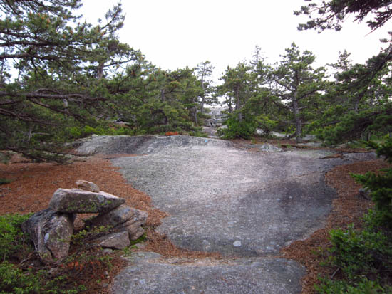
The upper Goat Trail on the way up Norumbega Mountain
Route: Goat Trail
Steeps on this trail were slippery and a little dangerous. A significant rebuilding project is in process - very awesome to see all of the work being done, as well as tools. Looks like it'll be a nice long stairway (instead of dangerous wet mossy sideslope ledges).
Some directional views above the steeps, but nothing like the previous peaks on this day.
| Hike Ratings |
|
Getting To Trailhead: |
Easy |
| Destination: |
Norumbega Mountain |
|
Length: |
Moderate |
|
Steepness: |
Very Difficult |
|
Navigation: |
Easy |
|
Views: |
Excellent |
|
Crowds: |
Minimal |
|
| Hike Stats |
|
Date Hiked: |
Thursday, June 7, 2012 |
| Parking Elevation: |
220' |
| Destination: |
Norumbega Mountain |
| Time Elapsed: |
00:16 |
| Trailhead Elevation: |
280' |
| Summit Elevation: |
852' |
| Vertical Gain: |
592' |
|
|
| Hike Time Elapsed: |
00:38 |
| Hike Vertical Gain: |
612' |
|
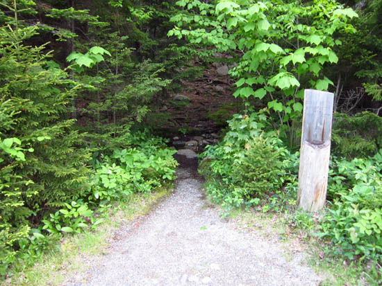
The Goat Trail trailhead off Park Loop Road
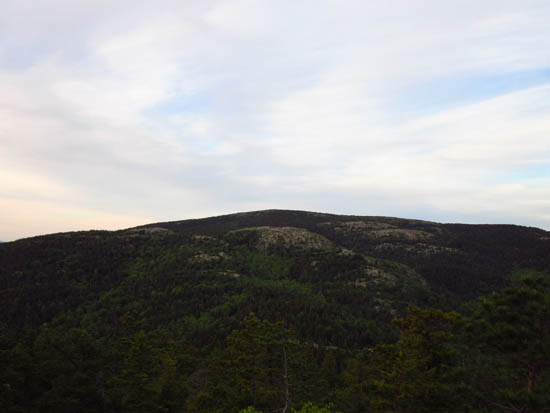
Looking at Sargent Mountain from Norumbega Mountain

Directions to trailhead: Take Route 198 south from Route 233. The Goat Trail trailhead and pull off parking area will be on the right, just prior to Upper Hadlock Pond.
Back to Norumbega Mountain Profile
|

