Home
States
Colorado
Connecticut
Maine
Massachusetts
New Hampshire
New York
Rhode Island
Utah
Vermont
View All
Lists
NE 4,000 Footers
NE 100 Highest
NH 4,000 Footers
NH 100 Highest
NH 52 With A View
NH Belknap Range
NH Ossipee 10
Links
Trail Conditions
Trip Log
Sunrises
Sunsets
About
|
Norumbega Mountain
Mount Desert, ME
Trailheads, measurements, times, distances, and maps are all approximate and relative to the hike(s) as shown below.
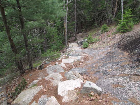
The Goat Trail on the way up Norumbega Mountain
Route: Goat Trail
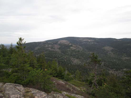
Goat Trail was neat to see following the 2012 step work. Previously nasty ledge ascents now have rock steps, making it a more reasonable ascent/descent. While there isn't much to see from the summit cairn, there are excellent cliff views a short bushwhack east, and decent western views a hundred yards south on trail.
| Hike Ratings |
|
Getting To Trailhead: |
Easy |
| Destination: |
Norumbega Mountain |
|
Length: |
Moderate |
|
Steepness: |
Very Difficult |
|
Navigation: |
Easy |
|
Views: |
Excellent |
|
Crowds: |
Minimal |
|
| Hike Stats |
|
Date Hiked: |
Saturday, May 16, 2015 |
| Parking Elevation: |
220' |
| Destination: |
Norumbega Mountain |
| Time Elapsed: |
00:27 |
| Trailhead Elevation: |
280' |
| Summit Elevation: |
852' |
| Vertical Gain: |
592' |
|
|
| Hike Time Elapsed: |
01:07 |
| Hike Vertical Gain: |
612' |
|
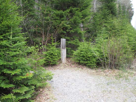
The Goat Trail trailhead off Park Loop Road
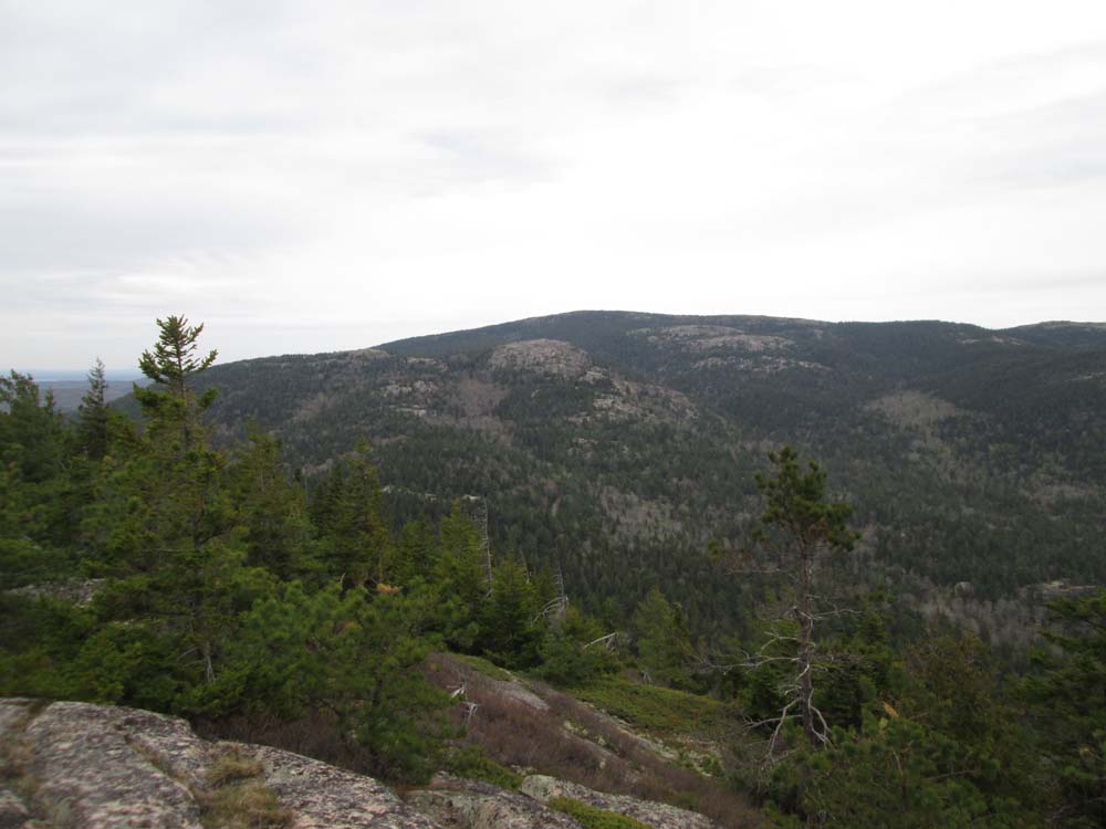
Looking at Sargent Mountain from near the summit of Norumbega Mountain
Directions to trailhead: Take Route 198 south from Route 233. The Goat Trail trailhead and pull off parking area will be on the right, just prior to Upper Hadlock Pond.
Back to Norumbega Mountain Profile
|