Home
States
Colorado
Connecticut
Maine
Massachusetts
New Hampshire
New York
Rhode Island
Utah
Vermont
View All
Lists
NE 4,000 Footers
NE 100 Highest
NH 4,000 Footers
NH 100 Highest
NH 52 With A View
NH Belknap Range
NH Ossipee 10
Links
Trail Conditions
Trip Log
Sunrises
Sunsets
About
|
Pemetic Mountain
Bar Harbor, ME
Trailheads, measurements, times, distances, and maps are all approximate and relative to the hike(s) as shown below.
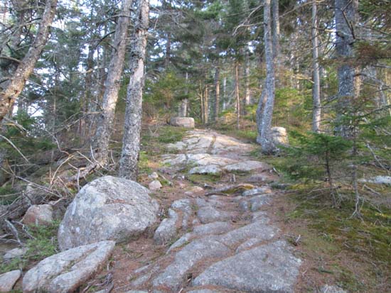
Looking up the Pemetic North Ridge Trail
Route: Carriage road, Pemetic North Ridge Trail
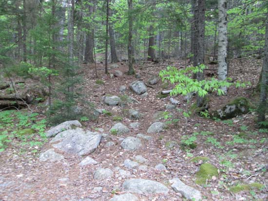
Trail was mostly dry. Not as manicured as some popular Acadia trails. Brief views from the ledgy summit as evening fog rolled in.
| Hike Ratings |
|
Getting To Trailhead: |
Moderate |
| Destination: |
Pemetic Mountain |
|
Length: |
Moderate |
|
Steepness: |
Difficult |
|
Navigation: |
Easy |
|
Views: |
Excellent |
|
Crowds: |
Minimal |
|
| Hike Stats |
|
Date Hiked: |
Friday, May 30, 2014 |
| Parking Elevation: |
336' |
| Destination: |
Pemetic Mountain |
| Time Elapsed: |
00:27 |
| Trailhead Elevation: |
350' |
| Summit Elevation: |
1,247' |
| Vertical Gain: |
947' |
|
|
| Hike Time Elapsed: |
01:08 |
| Hike Vertical Gain: |
1,011' |
|
The Pemetic North Ridge Trail entrance off the carriage road
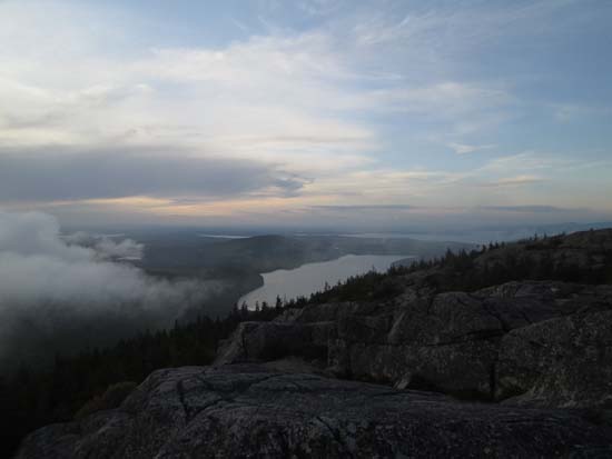
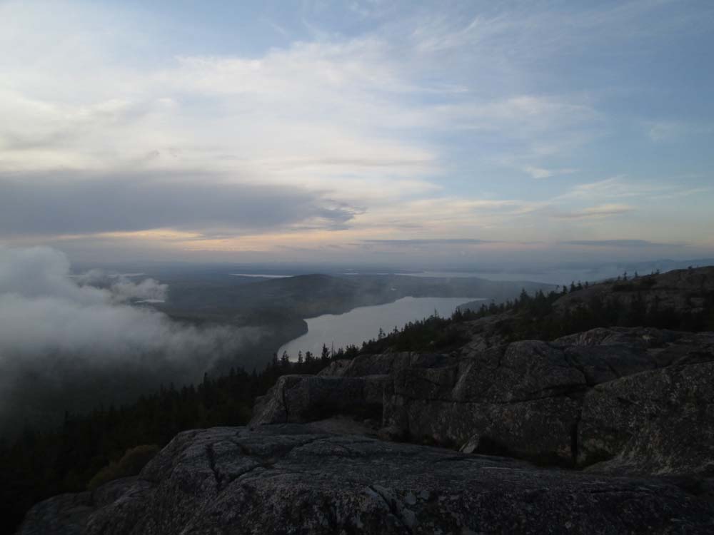
Brief interfog views north over Eagle Lake from Pemetic Mountain
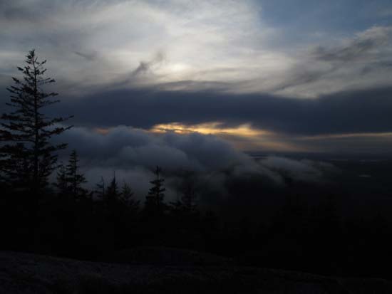
Brief interfog pre-sunset colors from Pemetic Mountain
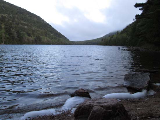
Bubble Pond
Directions to trailhead: From Seal Harbor, take Park Loop Road north to the Bubble Pond parking lot.
Back to Pemetic Mountain Profile
|