Home
States
Colorado
Connecticut
Maine
Massachusetts
New Hampshire
New York
Rhode Island
Utah
Vermont
View All
Lists
NE 4,000 Footers
NE 100 Highest
NH 4,000 Footers
NH 100 Highest
NH 52 With A View
NH Belknap Range
NH Ossipee 10
Links
Trail Conditions
Trip Log
Sunrises
Sunsets
About
|
South Bubble
Mount Desert, ME
Trailheads, measurements, times, distances, and maps are all approximate and relative to the hike(s) as shown below.
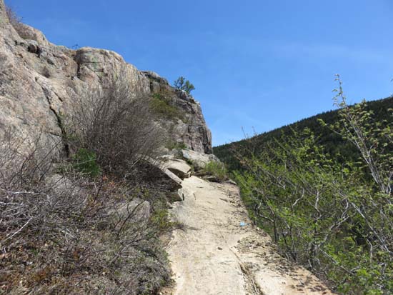
The Bubbles Trail on the way to South Bubble
Route: Jordan Pond Carry Trail, Jordan Pond Path, Bubbles Trail
Trails were mostly dry and in good shape. Great views and nice trail work.
| Hike Ratings |
|
Getting To Trailhead: |
Easy |
| Destination: |
South Bubble |
|
Length: |
Easy |
|
Steepness: |
Very Difficult |
|
Navigation: |
Easy |
|
Views: |
Excellent |
|
Crowds: |
Heavy |
|
| Hike Stats |
|
Date Hiked: |
Friday, May 15, 2015 |
| Parking Elevation: |
450' |
| Destination: |
South Bubble |
| Time Elapsed: |
00:42 |
| Trailhead Elevation: |
450' |
| Summit Elevation: |
768' |
| Vertical Gain: |
518' |
|
|
| Hike Time Elapsed: |
01:02 |
| Hike Vertical Gain: |
518' |
|
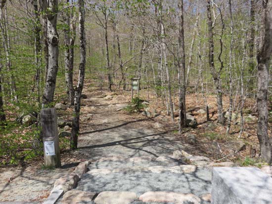
The Bubbles Divide trailhead off Park Loop Road
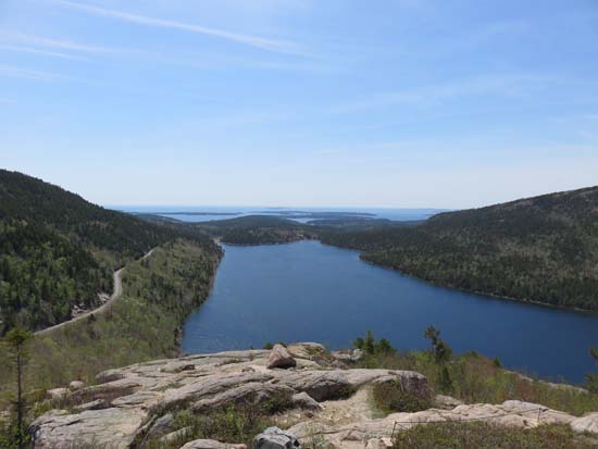
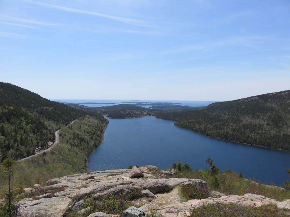
Looking south over Jordan Pond from South Bubble
Directions to trailhead: From Seal Harbor, take Park Loop Road north to the Bubble Divide parking lot.
Back to South Bubble Profile
|