Home
States
Colorado
Connecticut
Maine
Massachusetts
New Hampshire
New York
Rhode Island
Utah
Vermont
View All
Lists
NE 4,000 Footers
NE 100 Highest
NH 4,000 Footers
NH 100 Highest
NH 52 With A View
NH Belknap Range
NH Ossipee 10
Links
Trail Conditions
Trip Log
Sunrises
Sunsets
About
|
South Bubble, North Bubble, Conners Nubble
Mount Desert, ME, Bar Harbor, ME
Trailheads, measurements, times, distances, and maps are all approximate and relative to the hike(s) as shown below.
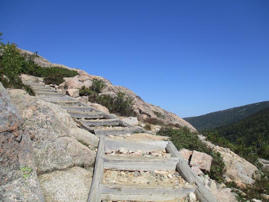
Looking up the Bubbles Trail on the way to South Bubble
Route: Bubbles Divide Trail, Jordan Pond Carry Trail, Bubbles Trail, carriage road
Trails were mostly dry and in good shape.
Shame on me for having not gone the extra quarter of a mile or so beyond the North Bubble summit in the past. Fantastic ledge views from atop those cliffs.
Conners Nubble also had fantastic 360 views, including the cliff view over Eagle Lake.
Instead of descending to the north, I doubled back down the short rugged stretch of trail to the carriage road, then took that to the Jordan Pond Carry Trail (taking a brief detour to the shore of Eagle Lake), then back to the parking lot to close the loop. Lots of work has been done on that stretch of the Carry Trail to fix muddy areas.
| Hike Ratings |
|
Getting To Trailhead: |
Easy |
| Destination: |
South Bubble |
|
Length: |
Easy |
|
Steepness: |
Very Difficult |
|
Navigation: |
Easy |
|
Views: |
Excellent |
|
Crowds: |
Heavy |
| Destination: |
North Bubble |
|
Length: |
Moderate |
|
Steepness: |
Difficult |
|
Navigation: |
Easy |
|
Views: |
Excellent |
|
Crowds: |
Moderate |
| Destination: |
Conners Nubble |
|
Length: |
Moderate |
|
Steepness: |
Difficult |
|
Navigation: |
Easy |
|
Views: |
Excellent |
|
Crowds: |
Minimal |
|
| Hike Stats |
|
Date Hiked: |
Thursday, September 17, 2015 |
| Parking Elevation: |
450' |
| Destination: |
South Bubble |
| Time Elapsed: |
00:29 |
| Trailhead Elevation: |
450' |
| Summit Elevation: |
768' |
| Vertical Gain: |
518' |
| Destination: |
North Bubble |
| Time Elapsed: |
00:13 |
| Trailhead Elevation: |
768' |
| Summit Elevation: |
872' |
| Vertical Gain: |
162' |
| Destination: |
Conners Nubble |
| Time Elapsed: |
00:25 |
| Trailhead Elevation: |
872' |
| Summit Elevation: |
591' |
| Vertical Gain: |
181' |
|
|
| Hike Time Elapsed: |
02:10 |
| Hike Vertical Gain: |
1,041' |
|
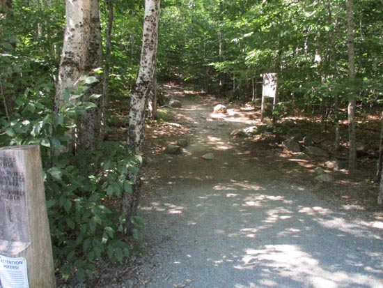
The Bubbles Divide trailhead off Park Loop Road
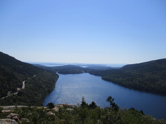
Looking south over Jordan Pond from South Bubble
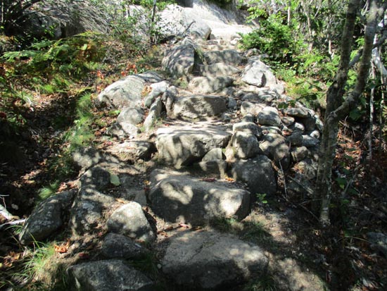
The Bubbles Trail on the way to North Bubble
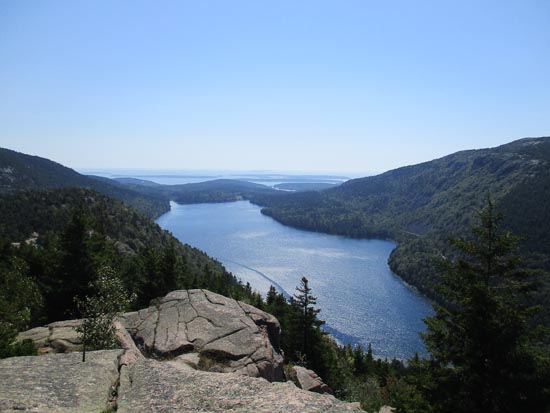
Looking south over Jordan Pond from North Bubble
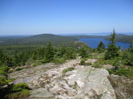
The Bubbles Trail on the way to Conners Nubble
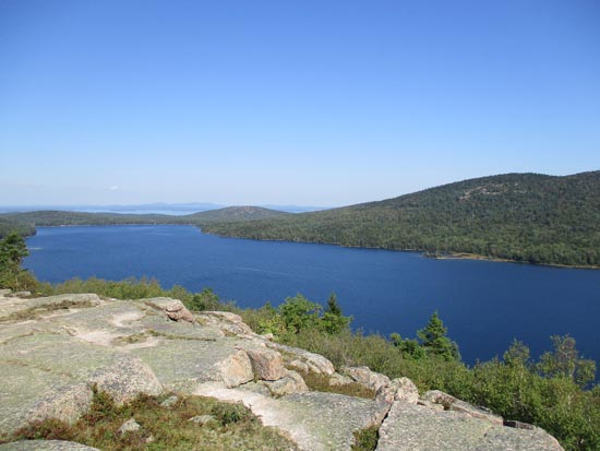
Looking over Eagle Lake from Conners Nubble
Directions to trailhead: From Seal Harbor, take Park Loop Road north to the Bubble Divide parking lot.
Back to South Bubble Profile
Back to North Bubble Profile
Back to Conners Nubble Profile
|