Home
States
Colorado
Connecticut
Maine
Massachusetts
New Hampshire
New York
Rhode Island
Utah
Vermont
View All
Lists
NE 4,000 Footers
NE 100 Highest
NH 4,000 Footers
NH 100 Highest
NH 52 With A View
NH Belknap Range
NH Ossipee 10
Links
Trail Conditions
Trip Log
Sunrises
Sunsets
About
|
The Beehive
Bar Harbor, ME
Trailheads, measurements, times, distances, and maps are all approximate and relative to the hike(s) as shown below.
Heading up the Beehive
Route: Bowl Trail, Beehive Trail
Late afternoon hike - blue skies, minimal crowds, excellent views, cool temperatures, no bugs. Made a short loop ascending the awesome Beehive Trail and descending a trail that goes back down to the col, bypassing The Bowl pond. Didn't catch the name of the trail, but it doesn't appear on the Map Adventures or AMC maps I have. Said trail was steep but not technical.
| Hike Ratings |
|
Getting To Trailhead: |
Easy |
| Destination: |
The Beehive |
|
Length: |
Moderate |
|
Steepness: |
Very Difficult |
|
Navigation: |
Easy |
|
Views: |
Excellent |
|
Crowds: |
Moderate |
|
| Hike Stats |
|
Date Hiked: |
Friday, May 30, 2014 |
| Parking Elevation: |
40' |
| Destination: |
The Beehive |
| Time Elapsed: |
00:17 |
| Trailhead Elevation: |
70' |
| Summit Elevation: |
540' |
| Vertical Gain: |
470' |
|
|
| Hike Time Elapsed: |
00:36 |
| Hike Vertical Gain: |
520' |
|
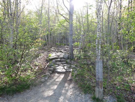
The Bowl Trail trailhead on Park Loop Road
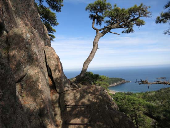
Looking down the Beehive Trail
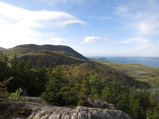
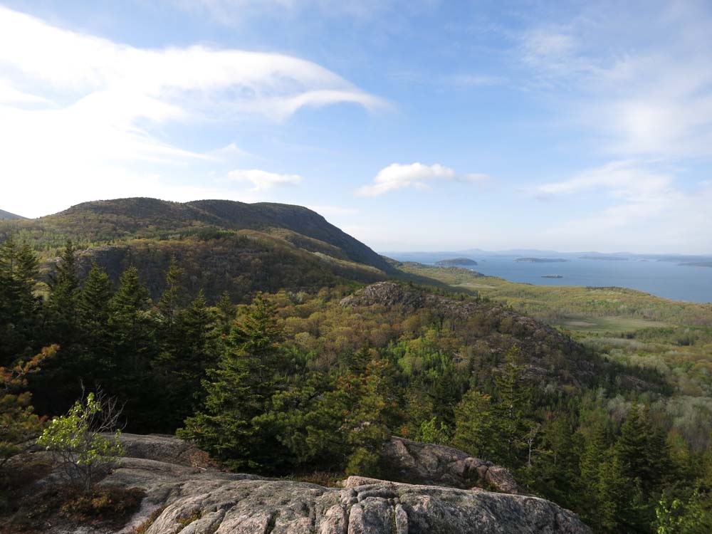
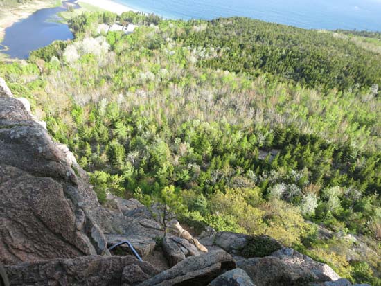
Looking north from The Beehive
Directions to trailhead: Take Park Loop Road to Sand Beach. Parking at Sand Beach parking, then walk to The Bowl Trail trailhead across Park Loop Road.
Back to The Beehive Profile
|