Home
States
Colorado
Connecticut
Maine
Massachusetts
New Hampshire
New York
Rhode Island
Utah
Vermont
View All
Lists
NE 4,000 Footers
NE 100 Highest
NH 4,000 Footers
NH 100 Highest
NH 52 With A View
NH Belknap Range
NH Ossipee 10
Links
Trail Conditions
Trip Log
Sunrises
Sunsets
About
|
Pony Mountain
Chapel Ledge
Chapel Falls
Ashfield, MA
Trailheads, measurements, times, distances, and maps are all approximate and relative to the hike(s) as shown below.
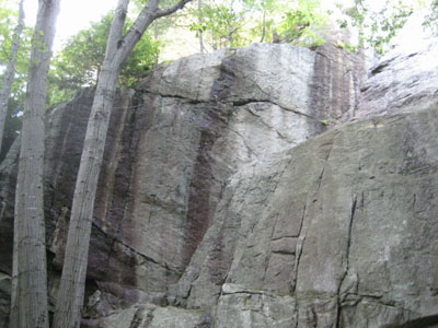
Passing by the bottom of Chapel Ledge on the summit trail
Chapel Ledge and Chapel Falls are both easy, scenic hikes. Though the views don't go for miles, the scenery is certainly good - with the open ledges on the top of Pony Mountain (Chapel Ledge) and the walk down the triple cascades of Chapel Falls. Both trails are marked decently to start, however nearing the end each lack blazes or signs.
| Hike Ratings |
|
Getting To Trailhead: |
Easy |
| Destination: |
Chapel Ledge |
|
Length: |
Easy |
|
Steepness: |
Easy |
|
Navigation: |
Moderate |
|
Views: |
Moderate |
|
Crowds: |
Minimal |
| Destination: |
Chapel Falls |
|
Length: |
Easy |
|
Steepness: |
Easy |
|
Navigation: |
Moderate |
|
Views: |
Minimal |
|
Crowds: |
Minimal |
|
| Hike Stats |
|
Date Hiked: |
Thursday, September 7, 2006 |
| Hike Commenced: |
5:34 PM |
| Parking Elevation: |
1,150' |
| Destination: |
Chapel Ledge |
| Ascent Commenced: |
5:34 PM |
| Summit Reached: |
5:43 PM |
| Trailhead Elevation: |
1,150' |
| Summit Elevation: |
1,420' |
| Vertical Gain: |
270' |
| Destination: |
Chapel Falls |
| Descent Commenced: |
6:06 PM |
| Bottom Falls Reached: |
6:13 PM |
| Hike Ended: |
6:16 PM |
| Hike Vertical Gain: |
400' |
|
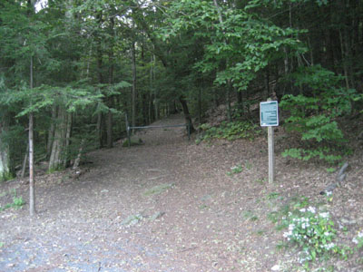
Chapel Ledge trailhead

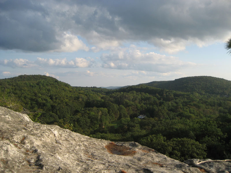
Chapel Ledge summit, looking east
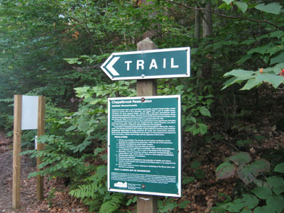
Chapel Falls trailhead
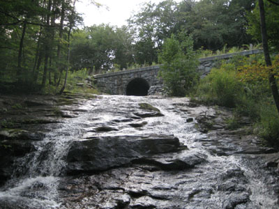
Chapel Falls top cascade
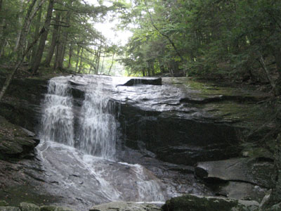
Chapel Falls bottom cascade
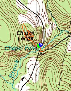

Directions to trailhead: Take Route 116 southeast from Ashfield Center to South Ashfield (bear right onto Williamsburg Road). The parking area and trailhead for Chapel Ledge is about 2 miles down that road on the right.
Back to Chapel Ledge profile
|