Home
States
Colorado
Connecticut
Maine
Massachusetts
New Hampshire
New York
Rhode Island
Utah
Vermont
View All
Lists
NE 4,000 Footers
NE 100 Highest
NH 4,000 Footers
NH 100 Highest
NH 52 With A View
NH Belknap Range
NH Ossipee 10
Links
Trail Conditions
Trip Log
Sunrises
Sunsets
About
|
Crag Mountain
Northfield, MA
Trailheads, measurements, times, distances, and maps are all approximate and relative to the hike(s) as shown below.
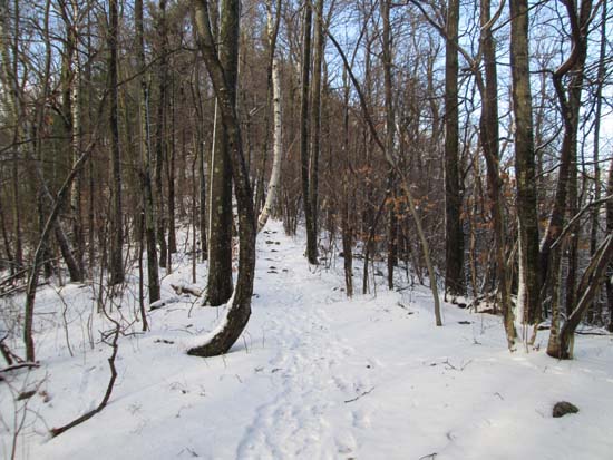
The trail to Crag Mountain
Route: New England Trail, unnamed trail
The Metacomet-Monadnock (aka New England Trail) used to traverse over this peak, but I'm not sure what's going on at the moment. There are blue blazes leading up from Mountain Road, however they stop prior to reaching the steeps and have been painted over thereafter. It appears the New England Trail now follows a roadwalk to the east, missing this nice peak altogether. I followed the now unmarked trail to the summit and never encountered any posted signs (plenty of footprints indicating it's still hiked).
Trail had generally 1-2" of snow on it, but nothing too too slippery.
| Hike Ratings |
|
Getting To Trailhead: |
Easy |
| Destination: |
Crag Mountain |
|
Length: |
Easy |
|
Steepness: |
Difficult |
|
Navigation: |
Moderate |
|
Views: |
Excellent |
|
Crowds: |
Moderate |
|
| Hike Stats |
|
Date Hiked: |
Sunday, December 14, 2014 |
| Parking Elevation: |
1,260' |
| Destination: |
Crag Mountain |
| Time Elapsed: |
00:08 |
| Trailhead Elevation: |
1,260' |
| Summit Elevation: |
1,503' |
| Vertical Gain: |
243' |
|
|
| Hike Time Elapsed: |
00:21 |
| Hike Vertical Gain: |
258' |
|
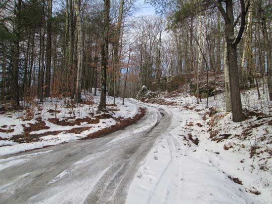
The start of the driveway/trail
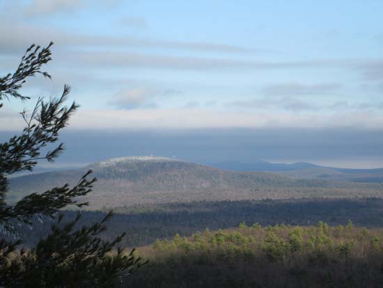
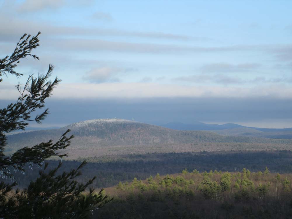
Looking northeast at Mt. Grace and Mt. Monadnock from Crag Mountain
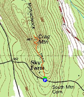

Directions to trailhead: From Route 63 in Northfield, take South Mountain Road past the high tension lines and Wendell Road intersection. The Metacomet-Monadnock trail will soon emerge on the right side of the road (blazes will be visible on trees and utility poles. There should be room to park on the side of the road on the top of the hill. The trail goes partway up a driveway on the left side of the road.
Back to Crag Mountain Profile
|