Home
States
Colorado
Connecticut
Maine
Massachusetts
New Hampshire
New York
Rhode Island
Utah
Vermont
View All
Lists
NE 4,000 Footers
NE 100 Highest
NH 4,000 Footers
NH 100 Highest
NH 52 With A View
NH Belknap Range
NH Ossipee 10
Links
Trail Conditions
Trip Log
Sunrises
Sunsets
About
|
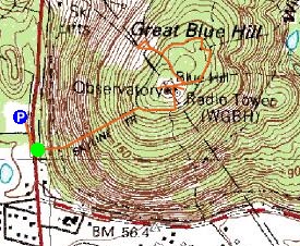
Great Blue Hill
Canton, MA, Milton, MA
Trailheads, measurements, times, distances, and maps are all approximate and relative to the hike(s) as shown below.
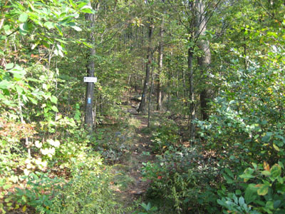
Skyline Trail to Great Blue Hill summit
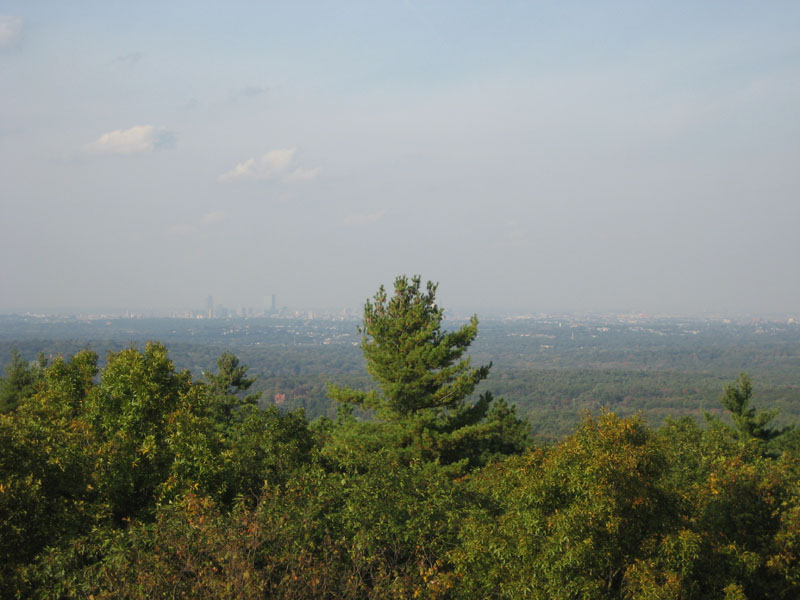
Great Blue Hill is a fairly quick, moderately pitched hike located near the Interstate 93 and Route 138 interchange. The greatest challenge of the hike is likely crossing 138 from the parking lot to the trailhead. The views near the summit are excellent, especially from the northern observation tower. At 635 feet or so, Great Blue Hill's summit is the highest point in Norfolk County.
| Hike Ratings |
|
Getting To Trailhead: |
Difficult |
| Destination: |
Great Blue Hill |
|
Length: |
Easy |
|
Steepness: |
Moderate |
|
Navigation: |
Easy |
|
Views: |
Excellent |
|
Crowds: |
Moderate |
|
| Hike Stats |
|
Date Hiked: |
Wednesday, October 4, 2006 |
| Hike Commenced: |
3:35 PM |
| Parking Elevation: |
208' |
| Destination: |
Great Blue Hill |
| Ascent Commenced: |
3:41 PM at Skyline Trail trailhead |
| Summit Reached: |
4:00 PM |
| Trailhead Elevation: |
208' |
| Summit Elevation: |
635' |
| Vertical Gain: |
427' |
| Hike Ended: |
4:48 PM |
| Hike Vertical Gain: |
492' |
|
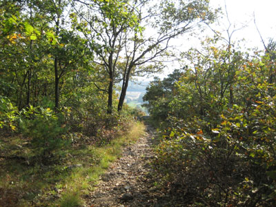
Skyline Trail trailhead off Route 138

Looking north at Boston from the observation tower

Directions to trailhead: Take Exit 2B off I-93 onto 138 North. Ample parking is available at the Park and Ride just north of the trail head. Enjoy trying to cross the road on foot.
Back to Great Blue Hill Profile
|