Home
States
Colorado
Connecticut
Maine
Massachusetts
New Hampshire
New York
Rhode Island
Utah
Vermont
View All
Lists
NE 4,000 Footers
NE 100 Highest
NH 4,000 Footers
NH 100 Highest
NH 52 With A View
NH Belknap Range
NH Ossipee 10
Links
Trail Conditions
Trip Log
Sunrises
Sunsets
About
|
Great Blue Hill
Milton, MA, Canton, MA, Quincy, MA
Trailheads, measurements, times, distances, and maps are all approximate and relative to the hike(s) as shown below.
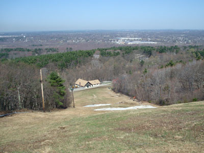
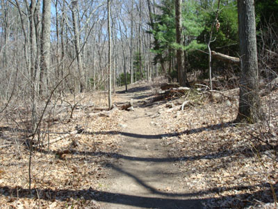
Looking down the Big Blue ski trail on the way to Great Blue Hill
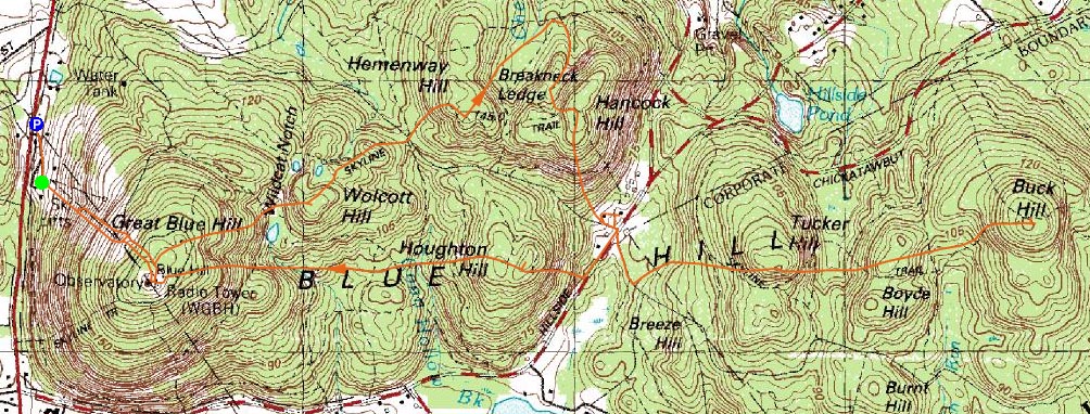
Route: Big Blue ski trail, (Great Blue Hill), bushwack, (Great Blue Hill lookout tower), Skyline Trail North, (Wolcott Hill), Skyline Trail North, unknown trail, (Hemenway Hill), Hemenway Hill Path, unknown trail, Skyline Trail North, (Hancock Hill), Skyline Trail North, Skyline Trail, (Tucker Hill), Skyline Trail, (Buck Hill), Skyline Trail, (Tucker Hill), Skyline Trail, Skyline Trail South, (Houghton Hill), Skyline Trail South, (Great Blue Hill), unknown trail, Big Blue ski trail
I needed to get away from the snow up in the mountains, so I decided to head south for a hike.
Since there seemed to be a lot of people on the foot trails, we decided to ascend directly up Great Blue Hill via the Big Blue ski trail, going by (gasp) two piles of snow on the way. The steep ascent was a great warm up.
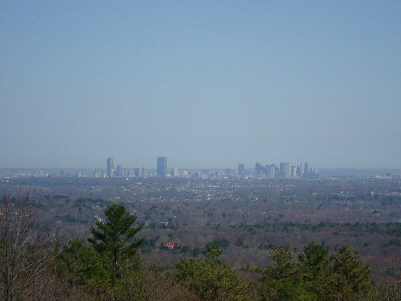
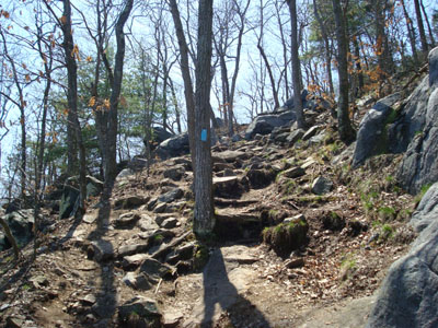
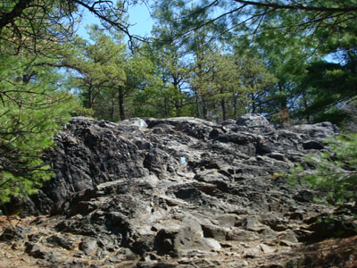
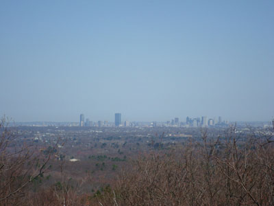
After reaching the observatory, we followed an obscure trail as a shortcut to the lookout tower. The obscure trail became so obscure that it ended up being a bushwack. Nonetheless, we made it and were able to get nice views of the Boston sky line.
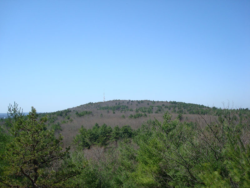
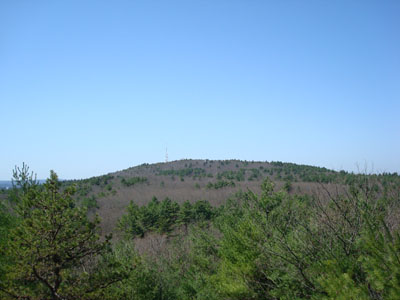
From there, we headed down the north branch of the Skyline Trail over to Wolcott Hill. Though brief and relatively tame, the trail did get steep in a few places. The views from Wolcott Hill were nothing special, though it was neat to look back at the structures on Great Blue Hill.
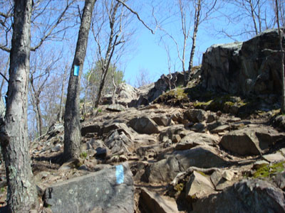
From there, we headed to Hemenway Hill. In going to the high point, I left the Skyline Trail and ended up in a maze of secondary trails. Realizing we were way off course when we reached one of the numbered intersections, we headed south toward Hancock Hill, rejoining the Skyline Trail after a few minutes, for the short and steep final approach to the summit.
The views from Hancock Hill were excellent, via multiple spur trails.
Our next stop was Tucker Hill. The descent down Hancock Hill was somewhat steep, before leveling out as the trail crossed the road.
There was a decent view point on the trail near the highpoint of Tucker Hill, followed by a steep descent into the col between it and Buck Hill.
Arriving at Buck Hill, we were greeted with, in my opinion, the best views of the day. The somewhat bald summit featured vistas in all directions, with a particularly nice view of Boston and the ocean. I couldn't help but laugh when I saw a large cairn located near the summit - a bit much for a 496 foot hill!
After having lunch at the summit of Buck Hill, we headed back over Tucker Hill, stopped at the vending machine near the road, then headed up the steep ascent to Houghton Hill.
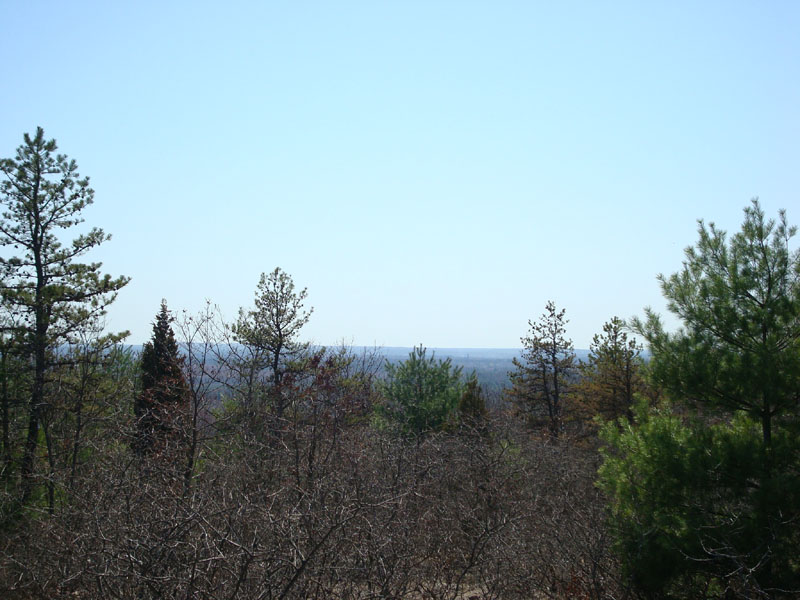
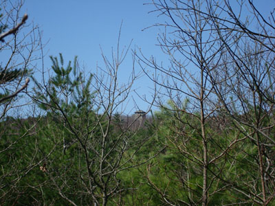
Unfortunately, there were no decent views from the trail or highpoint of Houghton Hill.
From there, we headed up the somewhat steep back side of Great Blue Hill, stopping in the gift shop upon summitting. After that, we descended down the ski slopes and called it a day. Not a bad day of hiking, considering we were practically in the city!
| Hike Ratings |
|
Getting To Trailhead: |
Easy |
| Destination: |
Great Blue Hill |
|
Length: |
Easy |
|
Steepness: |
Difficult |
|
Navigation: |
Easy |
|
Views: |
Excellent |
|
Crowds: |
Heavy |
| Destination: |
Wolcott Hill |
|
Length: |
Moderate |
|
Steepness: |
Difficult |
|
Navigation: |
Easy |
|
Views: |
Moderate |
|
Crowds: |
Heavy |
| Destination: |
Hemenway Hill |
|
Length: |
Moderate |
|
Steepness: |
Difficult |
|
Navigation: |
Moderate |
|
Views: |
Excellent |
|
Crowds: |
Heavy |
| Destination: |
Hancock Hill |
|
Length: |
Moderate |
|
Steepness: |
Difficult |
|
Navigation: |
Easy |
|
Views: |
Excellent |
|
Crowds: |
Heavy |
| Destination: |
Tucker Hill |
|
Length: |
Moderate |
|
Steepness: |
Difficult |
|
Navigation: |
Easy |
|
Views: |
Excellent |
|
Crowds: |
Heavy |
| Destination: |
Buck Hill |
|
Length: |
Moderate |
|
Steepness: |
Difficult |
|
Navigation: |
Easy |
|
Views: |
Excellent |
|
Crowds: |
Heavy |
| Destination: |
Houghton Hill |
|
Length: |
Moderate |
|
Steepness: |
Difficult |
|
Navigation: |
Easy |
|
Views: |
Minimal |
|
Crowds: |
Heavy |
|
| Hike Stats |
|
Date Hiked: |
Saturday, April 19, 2008 |
| Hike Commenced: |
10:19 AM |
| Parking Elevation: |
235' |
| Destination: |
Great Blue Hill |
| Ascent Commenced: |
10:24 AM |
| Summit Reached: |
10:34 AM |
| Time Elapsed: |
00:10 |
| Trailhead Elevation: |
265' |
| Summit Elevation: |
635' |
| Vertical Gain: |
370' |
| Destination: |
Wolcott Hill |
| Ascent Commenced: |
10:44 AM |
| Summit Reached: |
10:54 AM |
| Time Elapsed: |
00:10 |
| Trailhead Elevation: |
600' |
| Summit Elevation: |
470' |
| Vertical Gain: |
110' |
| Destination: |
Hemenway Hill |
| Ascent Commenced: |
10:55 AM |
| Summit Reached: |
11:09 AM |
| Time Elapsed: |
00:14 |
| Trailhead Elevation: |
470' |
| Summit Elevation: |
470' |
| Vertical Gain: |
148' |
| Destination: |
Hancock Hill |
| Ascent Commenced: |
11:09 AM |
| Summit Reached: |
11:27 AM |
| Time Elapsed: |
00:18 |
| Trailhead Elevation: |
300' |
| Summit Elevation: |
510' |
| Vertical Gain: |
163' |
| Destination: |
Tucker Hill |
| Ascent Commenced: |
11:33 AM |
| Summit Reached: |
12:00 PM |
| Time Elapsed: |
00:27 |
| Trailhead Elevation: |
300' |
| Summit Elevation: |
499' |
| Vertical Gain: |
302' |
| Destination: |
Buck Hill |
| Ascent Commenced: |
12:01 PM |
| Summit Reached: |
12:27 PM |
| Time Elapsed: |
00:26 |
| Trailhead Elevation: |
300' |
| Summit Elevation: |
496' |
| Vertical Gain: |
326' |
| Destination: |
Houghton Hill |
| Ascent Commenced: |
1:02 PM |
| Summit Reached: |
2:03 PM |
| Time Elapsed: |
01:01 |
| Trailhead Elevation: |
300' |
| Summit Elevation: |
420' |
| Vertical Gain: |
559' |
|
|
| Hike Ended: |
3:03 PM |
| Hike Time Elapsed: |
04:44 |
| Hike Vertical Gain: |
2,458' |
|
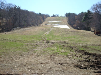
The bottom of the Big Blue ski trail

Looking at Boston from Great Blue Hill
Looking up the Skyline North Trail on the way to Wolcott Hill
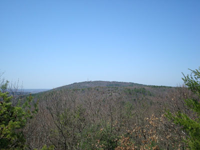
Looking at Great Blue Hill from near the summit of Wolcott Hill
The Skyline North Trail on the way to Hemenway Hill
Looking at Great Blue Hill from near the summit of Hemenway Hill
Looking up the Skyline North Trail near the summit of Hancock Hill
Looking at Boston from Hancock Hill
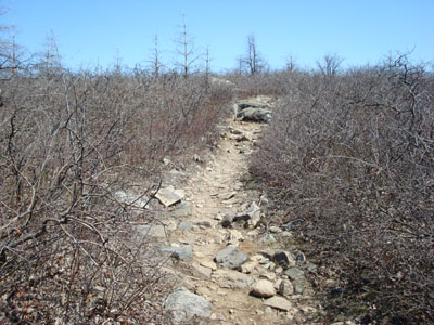
The Skyline Trail to Tucker Hill
Looking at Great Blue Hill from Tucker Hill
Looking up the Skyline Trail near the summit of Buck Hill
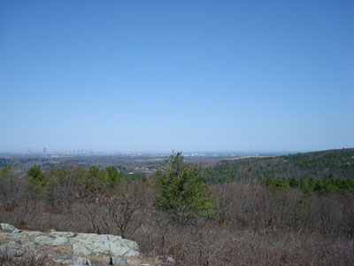
Looking at Boston from the summit of Buck Hill
Looking up the Skyline South Trail on the way to Houghton Hill

The lack of a view as seen from the summit of Houghton Hill


Directions to trailhead: Take Exit 2B off I-93 onto 138 North. Shortly thereafter, the ski area and museum parking lots will be on the right side of the road.
Back to Great Blue Hill Profile
Back to Wolcott Hill Profile
Back to Hemenway Hill Profile
Back to Hancock Hill Profile
Back to Tucker Hill Profile
Back to Buck Hill Profile
Back to Houghton Hill Profile
|