Home
States
Colorado
Connecticut
Maine
Massachusetts
New Hampshire
New York
Rhode Island
Utah
Vermont
View All
Lists
NE 4,000 Footers
NE 100 Highest
NH 4,000 Footers
NH 100 Highest
NH 52 With A View
NH Belknap Range
NH Ossipee 10
Links
Trail Conditions
Trip Log
Sunrises
Sunsets
About
|
Greenfield Mountain
Shelburne, MA
Trailheads, measurements, times, distances, and maps are all approximate and relative to the hike(s) as shown below.
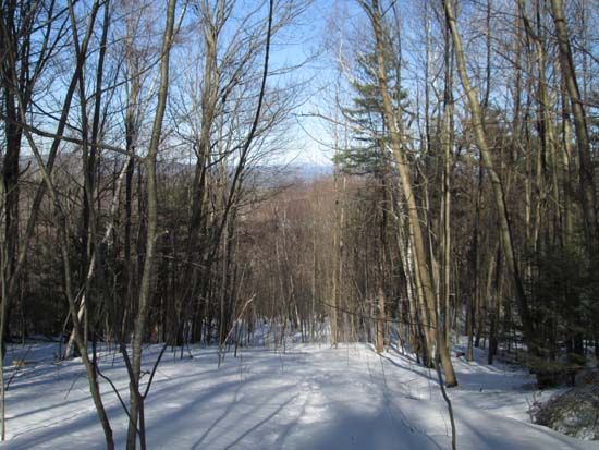
Ascending an old ski trail with Mt. Monadnock in the distance
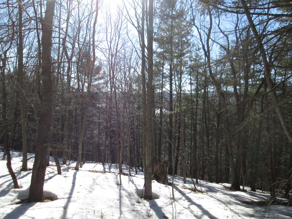
Bushwhacked from Roberts Road along the bottom of the field into the woods, then up the old Mt. Mohawk ski trails (completely overgrown). Would be unpleasant bushwhacking without snow on the ground, but spring snow conditions made it ideal. Looks like there would have been a fantastic view of Monadnock when the trails were still open, nothing to see now. Continued past the top of the lift to the highpoint, which appeared to be one of three bumps in the top contour on the map. Also evidence of some sort of 4 wheeler trail on the summit.
Overall, snowpack was 4-12 inches with some barespots growing. West fast of the mountain appeared to be thawed.
| Hike Ratings |
|
Getting To Trailhead: |
Moderate |
| Destination: |
Greenfield Mountain |
|
Length: |
Moderate |
|
Steepness: |
Moderate |
|
Navigation: |
Difficult |
|
Views: |
Minimal |
|
Crowds: |
Minimal |
|
| Hike Stats |
|
Date Hiked: |
Sunday, March 29, 2015 |
| Parking Elevation: |
772' |
| Destination: |
Greenfield Mountain |
| Time Elapsed: |
00:34 |
| Trailhead Elevation: |
790' |
| Summit Elevation: |
1,158' |
| Vertical Gain: |
498' |
| Hike Time Elapsed: |
01:14 |
| Hike Vertical Gain: |
598' |
|
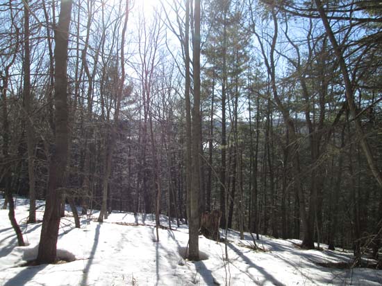
A lack of views atop Greenfield Mountain

Directions to trailhead: Cemetery Road is located off Route 2 west of Greenfield.
Back to Greenfield Mountain Profile
|