Home
States
Colorado
Connecticut
Maine
Massachusetts
New Hampshire
New York
Rhode Island
Utah
Vermont
View All
Lists
NE 4,000 Footers
NE 100 Highest
NH 4,000 Footers
NH 100 Highest
NH 52 With A View
NH Belknap Range
NH Ossipee 10
Links
Trail Conditions
Trip Log
Sunrises
Sunsets
About
|
Massaemett Mountain
Shelburne, MA
Trailheads, measurements, times, distances, and maps are all approximate and relative to the hike(s) as shown below.

Not only did it not look like January, but it didn't feel like it!
An amazing 70 degrees! After a morning of rain, the clouds moved out and the sky turned completely blue. Without much daylight left, I decided to hike Massaemett Mountain and take advantage of probably the warmest hiking weather to be had until May or June.
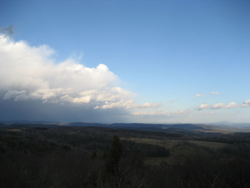
My original intent was to hike to the fire tower then over to High Ledges. As I neared the summit, I noticed dark clouds moving southeast - passing overhead as I descended the rock fire tower. As I reached the power lines toward the base of the mountain, the sky opened up.
| Hike Ratings |
|
Getting To Trailhead: |
Easy |
| Destination: |
Massaemett Mountain |
|
Length: |
Moderate |
|
Steepness: |
Moderate |
|
Navigation: |
Easy |
|
Views: |
Excellent |
|
Crowds: |
Minimal |
|
| Hike Stats |
|
Date Hiked: |
Saturday, January 6, 2007 |
| Hike Commenced: |
2:27 PM |
| Parking Elevation: |
560' |
| Destination: |
Massaemett Mountain |
| Ascent Commenced: |
2:27 PM |
| Summit Reached: |
2:58 PM |
| Trailhead Elevation: |
560' |
| Summit Elevation: |
1,588' |
| Vertical Gain: |
1,028' |
| Hike Ended: |
3:34 PM |
| Hike Vertical Gain: |
1,028' |
|
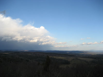
Road to the water tank
Storm approaching Monadnock

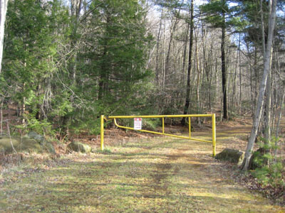
Directions to trailhead: Climbing a hill East on Route 2 after passing the 112 North exit, look for a small paved driveway on the left as the road levels out. The trail starts at the yellow gate.
Back to Massaemett Mountain Profile
|