Home
States
Colorado
Connecticut
Maine
Massachusetts
New Hampshire
New York
Rhode Island
Utah
Vermont
View All
Lists
NE 4,000 Footers
NE 100 Highest
NH 4,000 Footers
NH 100 Highest
NH 52 With A View
NH Belknap Range
NH Ossipee 10
Links
Trail Conditions
Trip Log
Sunrises
Sunsets
About
|
Massaemett Mountain
Shelburne, MA
Trailheads, measurements, times, distances, and maps are all approximate and relative to the hike(s) as shown below.
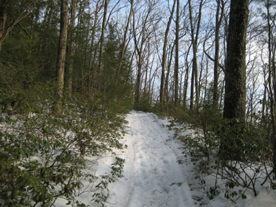
Heading up the trail to the Massaemett Mountain summit
The lower to mid fifty degree temperatures pushed me into hiking my third consecutive day for the first time in quite awhile. Though the sky was dark when I reached the trailhead, the clouds gradually lifted, making for a very nice late afternoon.
This was my first time hiking Massaemett in real winter-like conditions. I had previously hiked it in the winter months, in cold weather, and with a bit of snow on the ground, but this was the first time I actually had to use 4 wheel drive to get up to and around the parking area. Though there had been about two feet of natural snow in recent weeks, only about 8 inches remained in the parking lot.
The trail was pretty well packed from snowmobile and foot traffic. Nonetheless, I put on my snowshoes. These proved helpful in sections, as the snow was soft and deep in the middle portion of the hike. In addition, there were patches of slush and ice that would have required at minimum Stablicers. Fortunately, the claws on my snowshoes allowed me to climb up and down these sections with relative ease.
I arrived at the summit about an hour before sunset. I had antcipated summitting around 6:30, however I started earlier and made better time than I had anticipated. After debating with myself, I decided to hang around and wait for the sunset.
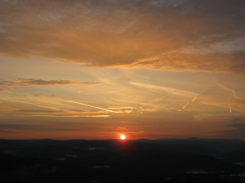
Though the sky was cloudy when I reached the top of the tower, things soon cleared out, allowing for better views of Mt. Greylock and Mt. Snow. To the northeast, Mt. Monadnock was barely visible.
The sunset proved to be worthwhile. Yellow, orange, purple, and red all graced the sky. The sun set just a bit south of Borden Mountain - in some time, watching it set behind Mt. Greylock may be a tremendous sight.
| Hike Ratings |
|
Getting To Trailhead: |
Easy |
| Destination: |
Massaemett Mountain |
|
Length: |
Moderate |
|
Steepness: |
Moderate |
|
Navigation: |
Easy |
|
Views: |
Excellent |
|
Crowds: |
Minimal |
|
| Hike Stats |
|
Date Hiked: |
Tuesday, March 13, 2007 |
| Hike Commenced: |
5:16 PM |
| Parking Elevation: |
560' |
| Destination: |
Massaemett Mountain |
| Ascent Commenced: |
5:16 PM |
| Summit Reached: |
5:56 PM |
| Time Elapsed: |
00:40 |
| Trailhead Elevation: |
560' |
| Summit Elevation: |
1,588' |
| Vertical Gain: |
1,028' |
|
|
| Hike Ended: |
7:32 PM |
| Hike Time Elapsed: |
02:16 |
| Hike Vertical Gain: |
1,028' |
|
Road to the water tank
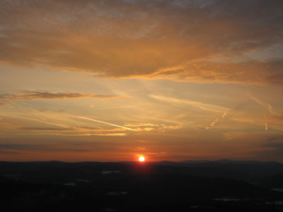
Looking west at the sunset and Mt. Greylock
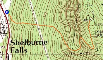

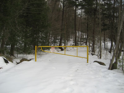
Directions to trailhead: Climbing a hill East on Route 2 after passing the 112 North exit, look for a small paved driveway on the left as the road levels out. This is not plowed in the winter. The trail starts at the yellow gate.
Back to Massaemett Mountain Profile
|