Home
States
Colorado
Connecticut
Maine
Massachusetts
New Hampshire
New York
Rhode Island
Utah
Vermont
View All
Lists
NE 4,000 Footers
NE 100 Highest
NH 4,000 Footers
NH 100 Highest
NH 52 With A View
NH Belknap Range
NH Ossipee 10
Links
Trail Conditions
Trip Log
Sunrises
Sunsets
About
|
Massaemett Mountain
Shelburne, MA
Trailheads, measurements, times, distances, and maps are all approximate and relative to the hike(s) as shown below.
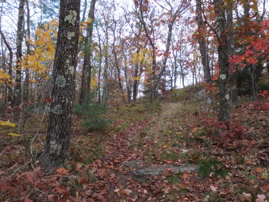
The upper Fire Tower Trail
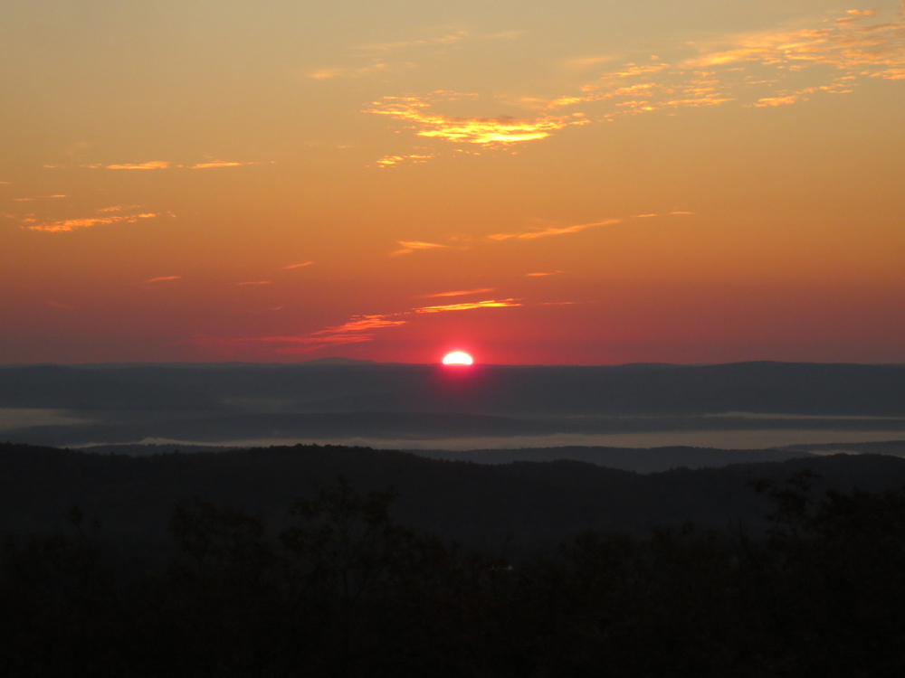
Trail was dry and in good shape. Nice sunrise from tower. Good foliage colors.
| Hike Ratings |
|
Getting To Trailhead: |
Easy |
| Destination: |
Massaemett Mountain |
|
Length: |
Moderate |
|
Steepness: |
Moderate |
|
Navigation: |
Easy |
|
Views: |
Excellent |
|
Crowds: |
Minimal |
|
| Hike Stats |
|
Date Hiked: |
Saturday, October 19, 2013 |
| Parking Elevation: |
540' |
| Destination: |
Massaemett Mountain |
| Time Elapsed: |
00:24 |
| Trailhead Elevation: |
540' |
| Summit Elevation: |
1,588' |
| Distance: |
1.6 miles |
| Vertical Gain: |
1,053' |
|
|
| Hike Time Elapsed: |
01:12 |
| Hike Distance: |
3.2 miles |
| Hike Vertical Gain: |
1,058' |
|
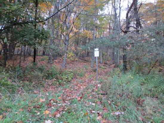
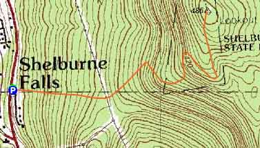
The Fire Tower Trail at the intersection of Route 2 and Halligan Avenue
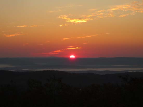
The sunrise as seen from the Massaemett fire tower
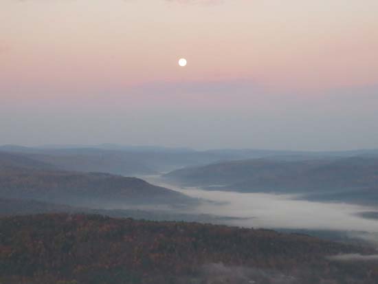
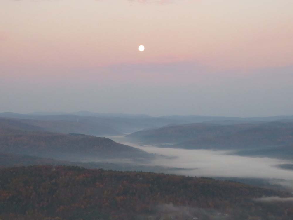
The moon setting over the Deerfield River Valley

Directions to trailhead: From Greenfield, take Route 2 West toward Shelburne Falls. Just after passing Route 2A to Shelburne Falls on the left, Halligan Avenue will be on the right. There is limited room to park on the uphill side of Halligan Avenue. The Fire Tower Trail trailhead is adjacent to a paved gutter between the two.
Back to Massaemett Mountain Profile
|